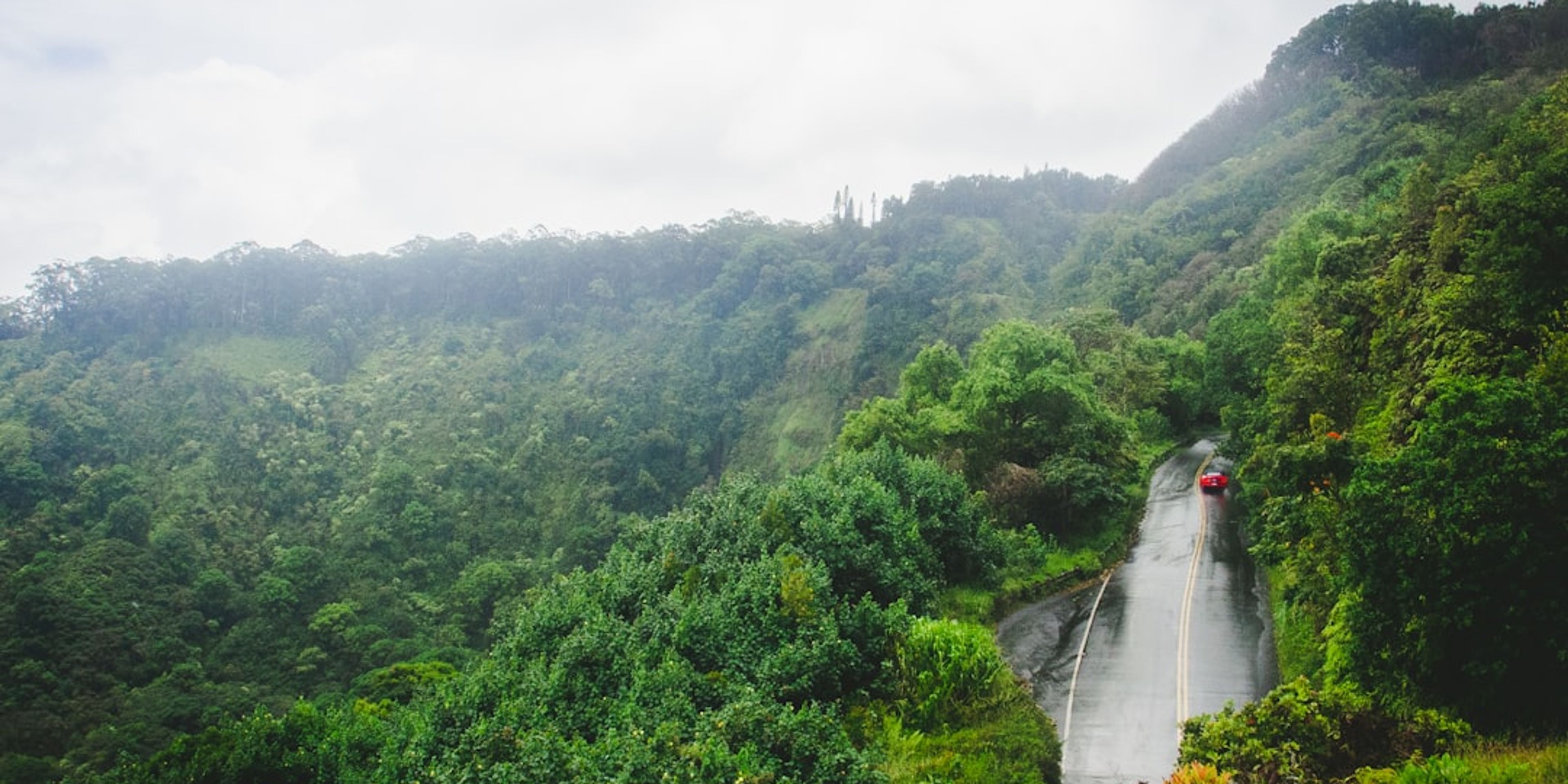
Hotels near Road to Hana (Hana Highway, Route 360)
Hawaii, USA
The Hana Highway (Route 360) covers 64.4 miles from Paia to Hana with roughly 620 curves and 59 bridges, most of them one-lane. Plan a full 10 to 12 hour day round-trip with early start by 7am. Key stops by mile marker include Twin Falls (mile 2, free with a $10 suggested parking donation), Waikamoi Ridge Trail (mile 9.5, a short walk through bamboo), Ke'anae Peninsula (mile 16.5, lava-scoured coast and taro fields), and Wailua Valley State Wayside (mile 18.8, valley overlook). Background on the route and its history is on Wikipedia's Hana Highway page.
Fuel up in Paia before you go, because Hana has one gas station with limited hours and premium pricing. Cell service drops out for long stretches, so download offline maps and the Shaka Guide or GyPSy audio app for narrated turn-by-turn commentary. Continue past Hana to Kipahulu (Haleakala National Park's coastal district) to see Ohe'o Gulch and, when the trail is open, the 400-foot Waimoku Falls at the end of the Pipiwai Trail.
Pro Tip: Drive the loop clockwise if road conditions allow - past Hana the highway becomes rougher but far less trafficked, and the return via the south side gives you the sweeping upcountry descent through Ulupalakua rather than fighting oncoming traffic on the same 620 curves.
No featured hotels near this attraction yet
Our featured list is curated and can miss a spot. Search all hotels with your dates to see what is available.
Stay in the loop
Get the latest deals, new destinations, and travel tips delivered straight to your inbox.
No spam, unsubscribe anytime.