

Hotels near The Bath Skyline Walk
Bathwick Hill, Bath BA2 6EN, UK
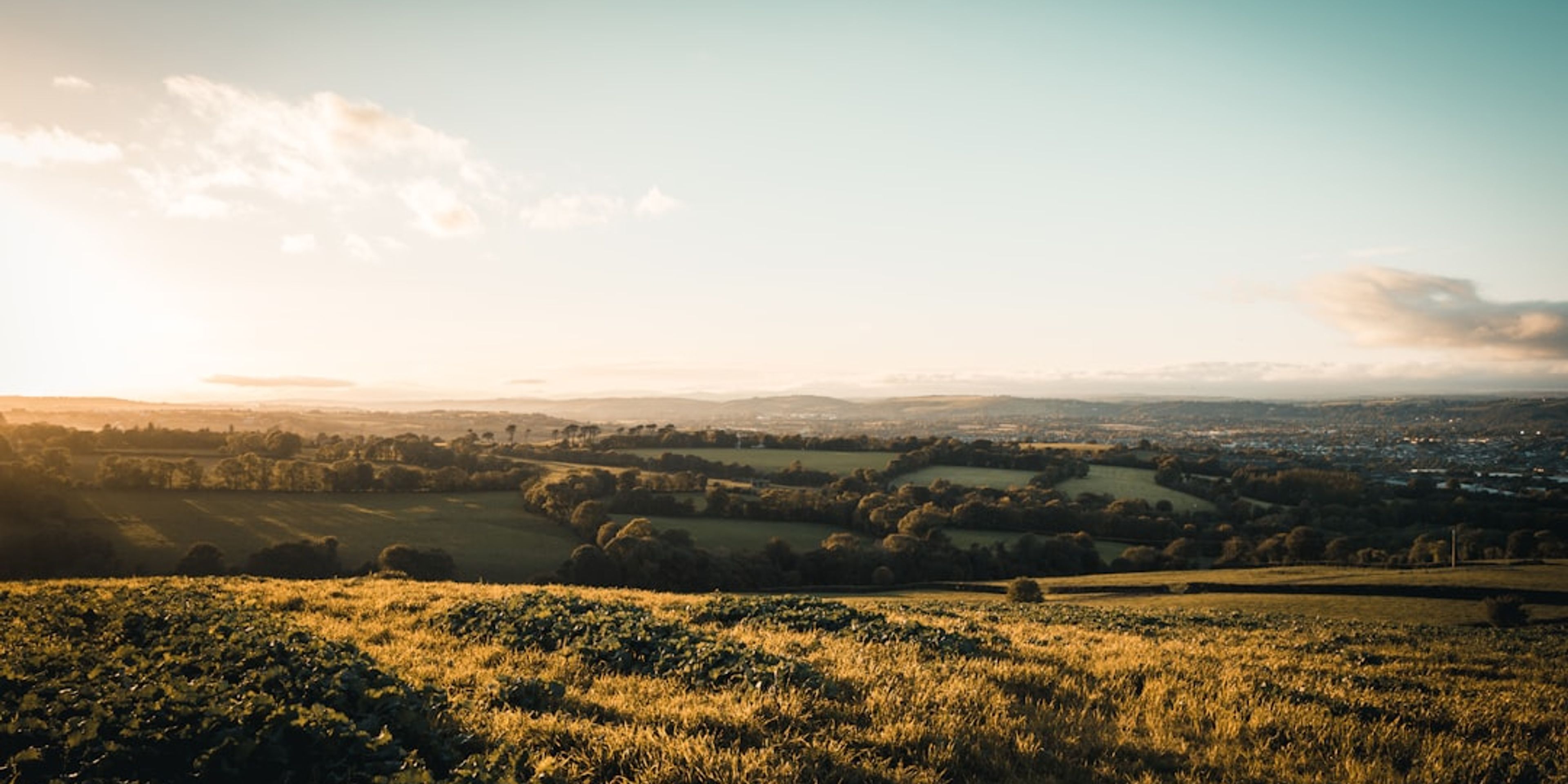
The Bath Skyline is a six-mile waymarked circular walk managed by the National Trust across the hills wrapping the eastern and southern edges of the city. It links beech woodland, limestone meadows, an Iron Age hillfort at Bathampton Down, disused stone quarries and a run of viewpoints that show you exactly how the Georgian city sits in its bowl. Sham Castle, an 18th-century folly facade built for Ralph Allen in 1762 to improve the view from his townhouse, sits directly on the route.
Allow three to four hours at a steady pace. The route is free, open all year and waymarked with National Trust discs, though a downloaded map helps at the field boundaries where the signage thins out. Sections cross grazed pasture with cattle, and the ground stays muddy well into spring. Two of the best viewpoints, at Bathwick Fields and above Prior Park, can be reached on short there-and-back walks of under an hour if the full loop is too much.
Pro Tip: Walk it anticlockwise starting from Bathwick Hill. You climb the steepest section first while fresh, and you finish on the descent through Widcombe with the abbey tower ahead of you, which is a far better ending than grinding uphill at hour four.
Hotels (10)


Find hotels near The Bath Skyline Walk
Pick your dates to see what is available.
Stay in the loop
Get the latest deals, new destinations, and travel tips delivered straight to your inbox.
No spam, unsubscribe anytime.