

Guides · Chiang Mai
5 Best Hikes Near Chiang Mai

CEO and co-founder
This guide ranks the 5 best hikes near Chiang Mai, from a 90-minute forest climb between two working temples to a two-day permit-only ascent of Thailand's third-highest mountain. Every entry gives the trail distance in kilometres, the elevation gain in metres, a realistic round-trip time and an honest difficulty call. Each one also lists the exact trailhead or park headquarters address with postcode, the songthaew (red truck) or Grab fare from the Chiang Mai Old City in Thai baht and euros, and the national park fee a foreign visitor is actually charged at the gate.
Read the calendar before you book anything, because season matters more here than fitness. Chiang Mai hiking trails are close to unusable from late February to April, when the northern Thailand burning season fills the valley with smoke from agricultural stubble fires and forest fires across Thailand, Myanmar and Laos. Air Quality Index readings above 300 are routine through March, and IQAir listed Chiang Mai among the world's ten most polluted cities on 4 March 2026. Walking uphill in that air means breathing several times your resting volume of PM2.5, and no view is worth it. The cool dry season, roughly November to February 2026, is the window you want: clear mornings, daytime highs in the mid-twenties Celsius and air quality that is usually rated good to moderate.
The June to October wet season is the second-best option and the more honest compromise. Rain clears the smoke completely, the forest is green rather than brown, and the waterfalls actually run. The trade-offs are real: afternoon downpours, mud and roots that turn steep sections treacherous, and land leeches on the damp lower trails around Doi Suthep-Pui and Doi Inthanon. Two of the routes below close outright for the rainy months. We have ordered the list by proximity, so the first entry and the last both start within 10 km of the Old City and need no car, while trekking Chiang Mai's bigger mountains means a 70 km drive or a chartered pickup.
1Monk's Trail to Wat Pha Lat and Doi Suthep - The Essential Chiang Mai Hike
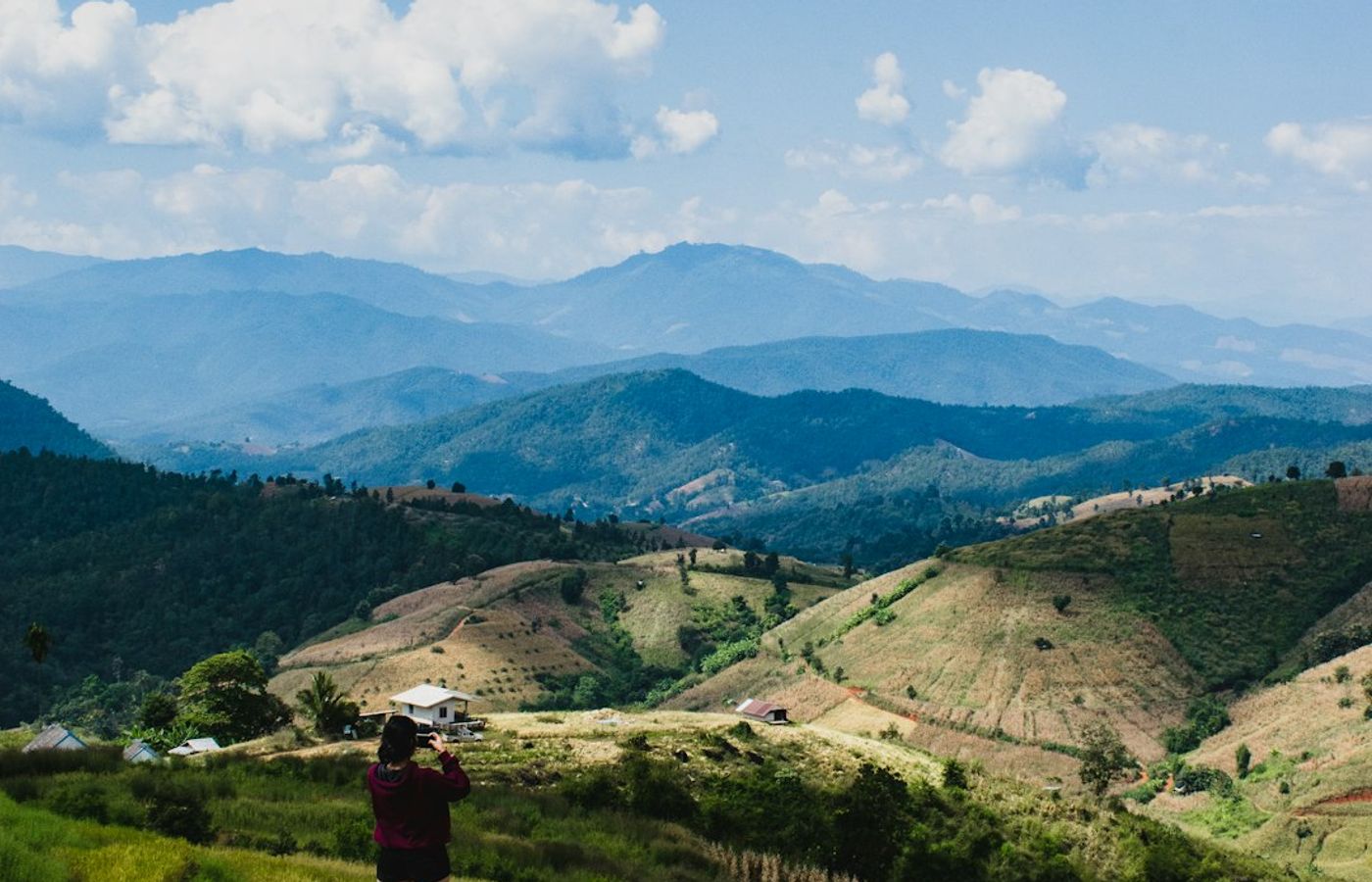

If you walk only one of the best hikes near Chiang Mai, walk this one. The Monk's Trail, or Pilgrim's Path, is the footpath monks cut between Chiang Mai and the mountain temples, and it climbs 7.5 km round trip with roughly 620 m of elevation gain from Sriwichai Road up to Wat Phra That Doi Suthep at 1,055 m. Allow 3.5 to 4 hours moving, or 4 to 6 with proper stops at both temples. It is short but steep, so call it moderate rather than easy.
The first stage is the good bit. Orange cloth strips tied around the trees mark the path through dipterocarp forest, and 45 minutes of steady climbing brings you to Wat Pha Lat, a moss-covered forest monastery beside a seasonal stream that most Doi Suthep hiking traffic drives straight past. Above it the route steepens onto a rough, rooty section, crosses the paved road and finishes at the 306-step Naga staircase below the gilded chedi of Wat Phra That Doi Suthep, founded in 1383.
Both temples are active places of worship, and the etiquette is not optional. Shoulders and knees must be covered at Wat Pha Lat and at Wat Phra That Doi Suthep, which rules out the vest and running shorts most people climb in. Shoes come off before the inner terraces. Sarongs can be hired at the top temple, but arriving covered is better manners. Temple entry for foreign visitors is 30 THB (about EUR 0.80), and the Doi Suthep-Pui National Park gate on the road charges 100 THB for adults and 50 THB for children aged 3 to 14 (about EUR 2.60 and EUR 1.30).
Pro Tip: Carry a lightweight long-sleeve shirt and a wrap in your daypack rather than hiking in them. You will sweat through 620 m of climb in Chiang Mai humidity, and pulling on dry, respectful layers at the Wat Pha Lat gate is far more comfortable than a rented sarong over damp clothes. Start by 7am to beat both the heat and the tour minibuses.
2Kew Mae Pan Nature Trail, Doi Inthanon - Thailand's Highest Mountain Ridge Walk
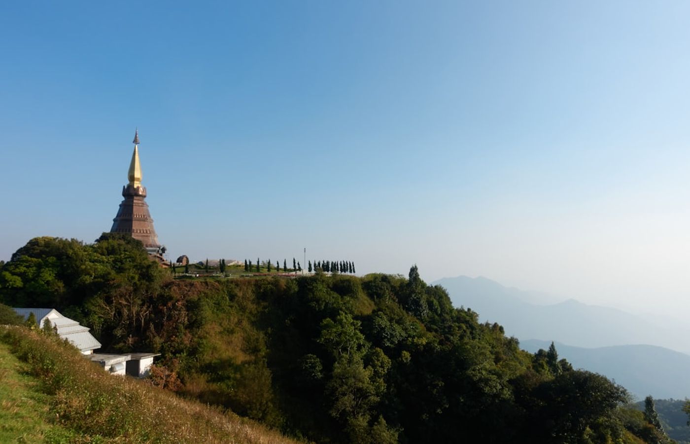

The Kew Mae Pan Nature Trail is the finest short walk in Doi Inthanon National Park and the reason to make the 70 km trip southwest. The loop is 2.5 to 2.9 km long with only about 110 m of cumulative climb, but it runs at roughly 2,200 m above sea level along an escarpment edge, so the air is thin and cool and the drop-off view over the Mae Pan valley is unobstructed. Most walkers take 2 to 3 hours including photo stops. The trail itself is easy, though a long series of steps means it does not suit anyone who struggles with stairs.
Two rules catch visitors out. A local Hmong guide is mandatory and cannot be waived: guides wait at the trail entrance and charge 200 to 220 THB per group of up to 10 people (about EUR 5.25 to EUR 5.75), which works out at a few baht each in a full group. Second, the trail closes from 1 June to 31 October every year for the rainy season and reopens on 1 November. Gates open 6am to 4pm.
Doi Inthanon National Park covers 482 sq km, was gazetted on 2 October 1972 and contains Thailand's highest point at 2,565 m. The summit itself is a five-minute walk from a car park rather than a hike, and the adjacent Ang Ka Luang boardwalk through cloud forest takes 20 minutes, so pair both with Kew Mae Pan to fill a day. Foreign visitors pay 300 THB for adults and 150 THB for children aged 3 to 14 (about EUR 7.85 and EUR 3.90) at the km 8 checkpoint.
Pro Tip: Be at the trail entrance for the 6am opening in December or January 2026 and bring a fleece and gloves. Dawn temperatures near the summit regularly sit at 2 to 5 degrees Celsius and can touch freezing, the sea of cloud below the escarpment burns off by around 9am, and you will have the ridge to yourself before the tour convoys arrive.

3Doi Pui Summit Trail - The Highest Point in Doi Suthep-Pui National Park
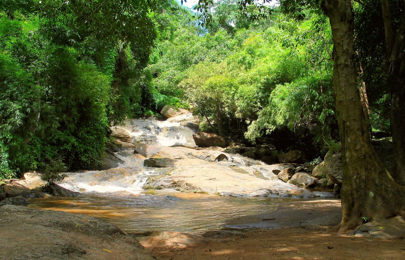

Doi Pui is the true high point of Doi Suthep-Pui National Park at 1,685 m, and almost nobody who visits the mountain bothers with it. That is what makes it worth doing. The summit trail proper is a short affair: 2 km return from the saddle car park with about 140 m of climb, taking 45 minutes to an hour on an abandoned paved road that switchbacks into forest before a dirt fork leads to the marked top. Easy, and doable in trainers.
For a real half-day of Doi Suthep hiking, start lower. From the Bhubing Palace car park at roughly 1,370 m it is about 8 km return with 310 m of ascent to the summit and back, or 3 to 3.5 hours at a walking pace, passing the Doi Pui campground and the Hmong village of Ban Doi Pui on the way. The forest here is evergreen hill forest rather than the drier woodland lower down, so it holds moisture, stays cool and is noticeably better for birdlife: the park records over 300 species.
Be realistic about the view. The summit is wooded and the panorama is partial rather than sweeping, so the reward is the walk, the cool air and the silence. Park entry is 100 THB for foreign adults and 50 THB for children aged 3 to 14 (about EUR 2.60 and EUR 1.30), collected at the road gates. Bhubing Palace itself charges a separate 50 THB (about EUR 1.30) and closes to visitors when the royal family is in residence, which does not affect the trail.
Pro Tip: Do this one on the same day as the Monk's Trail rather than as a separate trip. Climb the Monk's Trail in the morning, then take a songthaew from Wat Phra That Doi Suthep the remaining 9 km up to the saddle for around 40 to 60 THB (about EUR 1.05 to EUR 1.60) and walk the summit spur in the cooler afternoon air.
4Doi Luang Chiang Dao - Thailand's Third-Highest Peak and a Two-Day Permit Trek
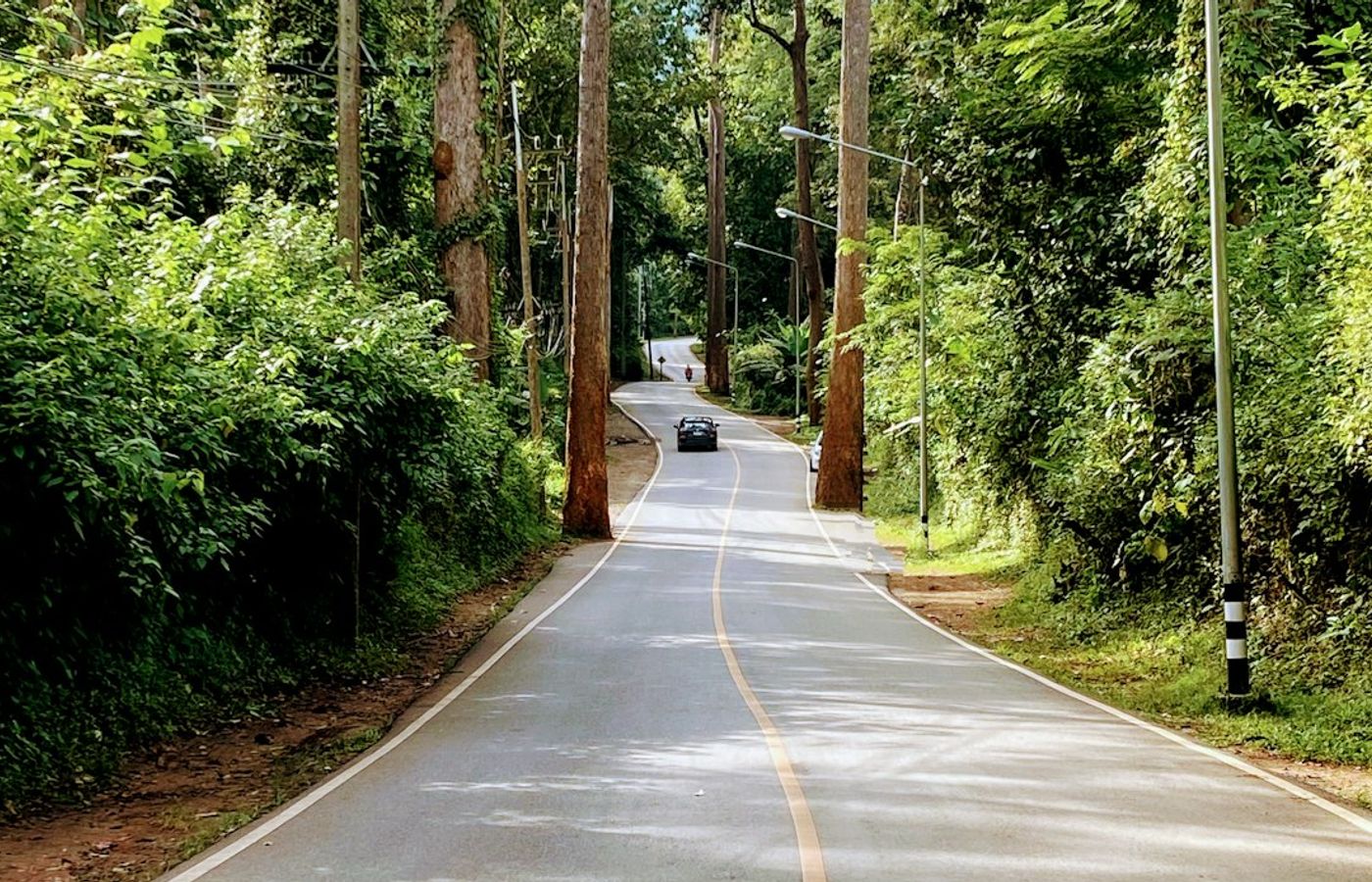
Doi Luang Chiang Dao is the hardest and most rewarding trek in the province, and the one this guide most wants you to plan properly rather than turn up for. The limestone massif rises to 2,175 m, making it Thailand's third-highest mountain, and it sits inside the Chiang Dao Wildlife Sanctuary, which UNESCO designated Thailand's fifth biosphere reserve in 2021. The standard route from the Den Ya Khat trailhead is about 8.5 km each way with roughly 1,100 m of ascent, done as an overnight camp: 6 to 8 hours up, a night on the ridge, and 4 to 5 hours down. Strenuous, with loose limestone and steep exposed sections near the top. The alternative Pang Wua trail is shorter at about 6.5 km but considerably steeper.
The access rules are strict and non-negotiable. The mountain is open only from 1 November to 31 March and closed 1 April to 31 October. You need a permit booked in advance through the wildlife sanctuary, daily numbers are capped, and a licensed local guide is compulsory for the overnight trek. Budget roughly 200 THB per person sanctuary entry (about EUR 5.25), 30 THB per vehicle, 30 THB per tent, a 600 THB refundable rubbish deposit per group (about EUR 15.75), 1,000 to 2,000 THB for the guide (about EUR 26 to EUR 52), 400 to 800 THB per porter (about EUR 10.50 to EUR 21) and 2,000 to 3,500 THB for the return 4WD transfer to the trailhead (about EUR 52 to EUR 92).
There is no water on the ridge and no shelter, so everything is carried. Overnight temperatures at the summit camp drop to near freezing in December and January.
Pro Tip: Book the permit and guide at least three to four weeks ahead for any weekend in December or January 2026, when the season's best visibility coincides with Thai domestic demand and the daily cap fills. Hire one porter between two people: at 400 to 800 THB it is the best money you will spend on this mountain.
5Wat Phra That Doi Kham Trail - The Short City Hike You Can Do Any Morning
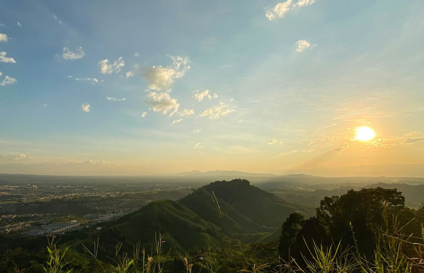
Wat Phra That Doi Kham is the answer to the awkward gap in most Chiang Mai itineraries: the free morning with no car and no appetite for a 70 km drive. The trail from the Mae Hia trailhead car park is about 4 km out and back with 150 m of elevation gain, and takes 1.5 to 2 hours at an unhurried pace. Difficulty is easy to moderate. The distance is trivial, but a long stretch of uneven stone steps cut into the hillside does the work, and Chiang Mai humidity does the rest.
The path climbs through shaded deciduous forest past small spirit houses and offerings left by local walkers, who treat this hill as their outdoor gym: expect to be overtaken by retirees on the way up. A covered pavilion near the top marks the last flight of steps to the temple compound. Wat Phra That Doi Kham is a genuinely old foundation, traditionally dated to 687 CE, and its 17 m seated Buddha, Luang Pho Thanjai, is one of the most visited merit-making images in northern Thailand. The terrace looks north across the whole Chiang Mai plain to Doi Suthep.
This one is free. There is no national park boundary and no gate, which is unusual among hikes in northern Thailand. Toilets and drinking water are available at the summit, and food stalls sit near the car park. The same covered-shoulders-and-knees rule applies at the temple as anywhere else, so bring a layer.
Pro Tip: Come on a weekday before 8am. Doi Kham is a major local pilgrimage site and the summit road fills with cars and jasmine-garland vendors on weekends and Buddhist holy days, which drains the quiet from what is otherwise the calmest short walk near the city.
Get hotel deals for Chiang Mai
Price drops, new stays and local tips for Chiang Mai, straight to your inbox.
No spam, unsubscribe anytime.

CEO and co-founder
Tomas is the co-founder and director of trip1, an European company specializing in reservation services. He launched the company in 2025 with a focus on building scalable, efficient operations.
5 Best Hikes Near Chiang Mai - FAQ
Yes, in the right season. Within 10 km of the Old City you can climb the Monk's Trail to Wat Pha Lat and Doi Suthep or walk up to Wat Phra That Doi Kham, with no car needed. Further out, Doi Inthanon's Kew Mae Pan trail runs along a ridge at about 2,200 metres, and Doi Luang Chiang Dao is a two-day permit trek. Come November to February.
The Monk's Trail to Doi Suthep (7.5 km return, about 620 m of climb), the Kew Mae Pan Nature Trail on Doi Inthanon (2.5 to 2.9 km, easy), the Doi Pui summit trail, the strenuous Doi Luang Chiang Dao overnight trek (about 8.5 km each way) and the free Wat Phra That Doi Kham trail (about 4 km return, easy to moderate).
Late February to April, the burning season, when smoke from crop and forest fires fills the valley and air quality readings above 300 are routine in March. For hiking, November to February is best, with clear mornings and highs in the mid-twenties Celsius. June to October clears the air but brings mud, leeches and the closure of Kew Mae Pan and Doi Luang Chiang Dao.
Moderate: short but steep. It is 7.5 km return with about 620 m of climb from Sriwichai Road to Wat Phra That Doi Suthep, taking 3.5 to 4 hours moving, and passes the forest temple of Wat Pha Lat after about 45 minutes. Start by 7am, carry water, and bring a layer to cover shoulders and knees at both temples.
Yes. A local Hmong guide is mandatory and is hired at the trail entrance for 200 to 220 THB per group of up to 10, so no advance booking is needed. The trail closes from 1 June to 31 October and reopens on 1 November. Gates open 6am to 4pm, and Doi Inthanon park entry for foreign adults is 300 THB.
Yes. You book a permit in advance through the Chiang Dao Wildlife Sanctuary, daily numbers are capped, and a licensed local guide is compulsory for the overnight trek. The mountain opens only in the cool season, from November, and is closed from April to October. Book three to four weeks ahead for December and January weekends, and carry all your water.