

Guides · Queenstown
5 Toughest Hikes Near Queenstown

CEO and co-founder
This guide ranks the 5 toughest hikes near Queenstown, New Zealand, and it ranks them hardest first. Entry one is the most serious and consequential day out on the list; entry five is the one most people can actually finish. The ordering criterion is overall difficulty rather than raw vertical alone - vertical gain, ground underfoot, alpine exposure, remoteness and the consequence of a single mistake all count. That is why Isthmus Peak Track sits above Roys Peak Track despite having 250 m less climbing: the ground is rougher and the weather hits harder.
Every entry gives the trail distance in kilometres, the elevation gain in metres, a realistic round-trip time, a difficulty call, an explicit statement of what makes it hard, and an equally explicit statement of who should not attempt it. These are not scenic strolls. Four of the five are graded advanced or expert by the Department of Conservation, one has killed people, and all five put you above the bushline in terrain where the weather can turn in under an hour. If you are looking for the hardest hikes Queenstown can offer, this is the honest version, including the parts that are not fun.
Only one of these trailheads is walkable from the Queenstown town centre. The other four need a car and between 70 minutes and two and a half hours of driving, so each entry lists the exact trailhead car park address with postcode, the transport reality, and the distance from central Queenstown. Read the alpine season notes in every entry before you plan anything between June and October 2026. Alpine conditions here change inside an hour, so check Queenstown weather at the trailhead rather than at breakfast, and treat any June-to-October forecast as provisional until you see the tops. Four of these five start with a drive, which makes an early departure the single largest factor in whether you finish in daylight. The hotels in Queenstown near Frankton sit closest to the Glenorchy and Wanaka roads and cut the worst of that drive off the front of your day.
1Cascade Saddle Route - The Most Serious Day Out Within Reach of Queenstown
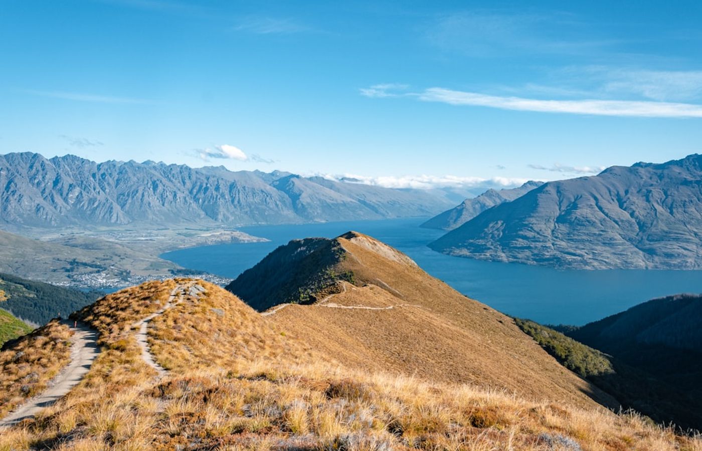

The Cascade Saddle Route is the hardest thing on this list and the only entry we would actively talk most people out of. From the Raspberry Creek car park it is 9 km of flat valley to Aspiring Hut, then a brutal 6 km climbing to the ridge pylon at 1,835 m and on to Cascade Saddle at 1,524 m. Done as an out-and-back day, that is roughly 30 km and about 1,500 m of gain, and fit parties still report 12 to 14 hours car to car. The Department of Conservation grades it expert and states plainly that it suits only people with high-level backcountry skills and navigation experience.
What makes it hard is the section above Aspiring Hut. The climb gains over 1,000 m in about 2.5 km on steep tussock over smooth rock slabs, and those slabs become lethally slippery when wet or frosted. DOC's own route page records that multiple fatalities have occurred here and that a slip can mean falling several hundred metres over cliffs. If snow is present you do not proceed without an ice axe and crampons and the training to use them.
Who should not attempt it: anyone without alpine experience, anyone without an ice axe and crampons outside high summer, anyone uncomfortable with sustained exposure, and anyone attempting it in poor visibility or wet weather. Turning around at Aspiring Hut is not a failure. It is the correct decision most days.
Pro Tip: Leave Queenstown by 3am and treat the pylon at 1,835 m as your hard turnaround point, not the saddle. Set a clock time to turn back regardless of how you feel and stick to it, because the descent of those slabs on tired legs in fading light is where things go wrong.
2Ben Lomond Track Full Summit - 1,438 m of Climbing Straight Out of Town
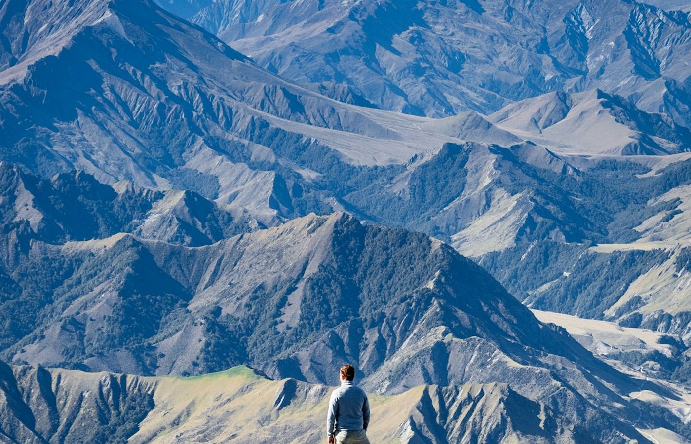

Walked properly from town rather than from the top of the gondola, the Ben Lomond Track is the biggest single-day elevation gain you can start on foot from the Queenstown town centre: 14 km return and 1,438 m of gain to a 1,748 m summit, which the Department of Conservation grades advanced with high fitness required and 6 to 8 hours return. The Tiki Trail eats the first 450 m under Douglas fir, the open tussock ridge takes you to Ben Lomond Saddle at roughly 1,326 m, and then the real work starts.
What makes it hard is the sustained gradient and the final 400 m. Above the saddle the summit track is loose, steep and fully exposed, with drop-offs on both sides and no shelter or water anywhere above the bushline. Wind is the single most common reason parties turn back, and DOC notes that hypothermia is a genuine risk here even in summer. From June to October 2026 those same drop-offs carry snow and ice, which turns a walk into an alpine climb needing crampons and an ice axe.
Who should not attempt the full summit: anyone who has not done a 1,000 m climb before, anyone without proper boots, and anyone starting after 11am in shoulder season. The saddle turnaround at 10 km and about 5 hours is a real day in its own right.
Pro Tip: Check the wind forecast at 1,700 m rather than the town forecast. Queenstown can be still at lake level while the summit ridge is running 60 km/h, and the exposed final section is where that difference becomes dangerous rather than merely unpleasant.

3Breast Hill Track via Pakituhi - Relentless Climbing and an Exposed Rock Ridge
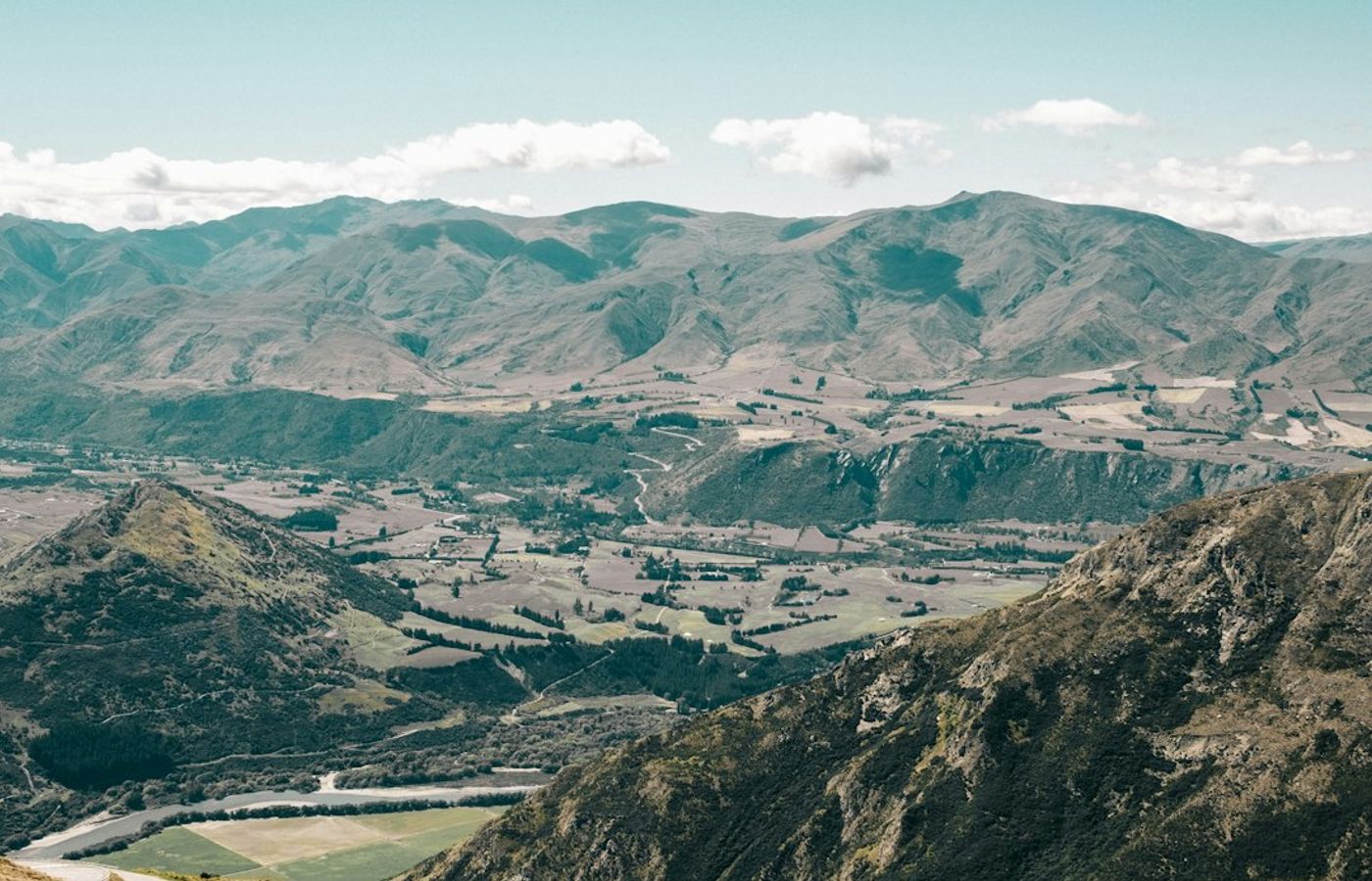

Climbed as a day return from Lake Hāwea on the Pakituhi section, the Breast Hill Track is 14.5 km return with roughly 1,400 m of elevation gain in 6 to 8 hours. That is within 40 m of Ben Lomond's total climb, and the Department of Conservation grades the track advanced and calls it a demanding tramp for experienced hikers only. Pakituhi Hut sits 2.6 km short of the summit with 8 bunks at NZ$10 (about EUR 5) per night, first come first served, which is the sensible way to break it.
What makes it hard is the gradient combined with the ridge. Most of the vertical arrives in the first 4.5 km on ground that climbs without let-up, and the upper Pakituhi section is very narrow and exposed in places, with hands needed on rock. Add steep sidles, no water source on the entire route, and marking that thins out near the top. DOC flags avalanche risk on this terrain from May to November, and this is farmland with lambs present from late September to mid-November 2026, so dogs are out and gates stay as you found them.
Who should not attempt it: anyone who does not like heights, anyone carrying under 2.5 litres of water, and anyone attempting it during or after heavy rain.
Pro Tip: Carry microspikes from May onward even when the forecast looks benign. The exposed ridge holds verglas on cold mornings well after the lower track has thawed, and that is exactly where a slip has consequences.
4Isthmus Peak Track - Advanced-Graded, 16 km and Nowhere to Hide
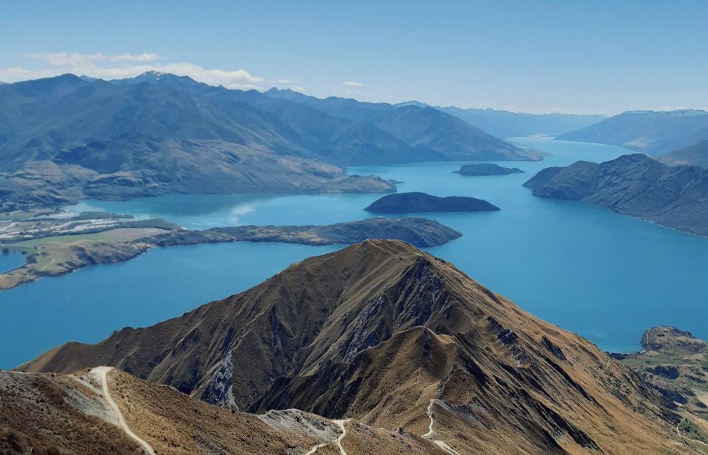
The Isthmus Peak Track runs 8 km to the ridge and 16 km return with 1,000 m of elevation gain, and the Department of Conservation grades it advanced and rates it 5 to 7 hours return from the car park. It carries less vertical than Roys Peak Track but we rank it above, because the ground is rougher, the route is more weather-exposed, and there is no water anywhere on it. Sturdy hiking boots are not optional here.
What makes it hard is the combination of a steady steep grade across open farmland with zero shelter for the full climb. There is no bush to break the wind and no stream to refill from, so a hot Otago afternoon in January 2026 can turn this into a heat-management problem rather than a fitness one. DOC records avalanche risk on the steep terrain from May through November, and warns that whiteout conditions from snow or low cloud can strip your visibility on a broad tussock ridge where the route is easy to lose.
Who should not attempt it: anyone carrying less than 3 litres of water in summer, anyone without navigation skills for low cloud, and anyone attempting it in winter without alpine gear and avalanche awareness. The track crosses private land, so stay on the marked route and keep clear of livestock.
Pro Tip: Start before 7am in summer and carry 3 litres. The east-facing climb bakes from mid-morning, and every year people bail on Isthmus Peak Track through dehydration rather than lack of legs.
5Roys Peak Track - The Most Vertical on the Easiest Ground
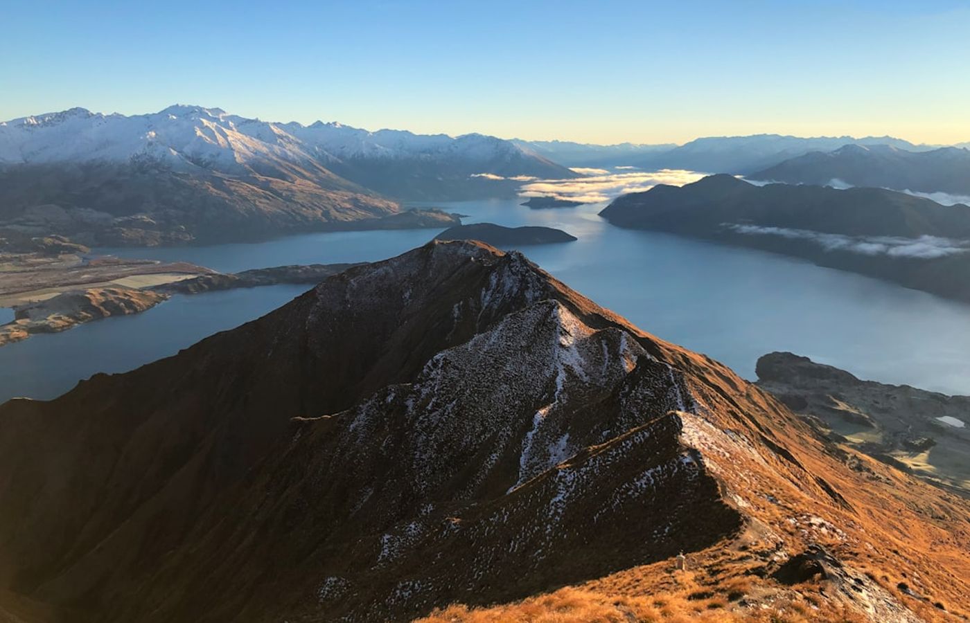
The Roys Peak Track closes this list because it is the toughest hike here on the kindest ground: 16 km return, over 1,200 m of elevation gain to a 1,578 m summit, in 5 to 6 hours. DOC's own grading calls the track itself easy while describing it as a challenging full-day hike needing high fitness, and that contradiction is the honest summary. The surface is a wide, well-formed farm track with no scrambling, no exposure and no navigation problem in clear weather.
What makes it hard is pure relentlessness. The gain arrives in long, even switchbacks with almost no flat and no shade, and there is no water on the route. People underestimate this one more than any other on the list, largely because of the famous photo spot at about 1,200 m, and the Queenstown Lakes search and rescue callout log reflects it. Two hard limits apply: the track is closed 1 October to 10 November each year for lambing, including 2026, and DOC classes the terrain above 1,000 m as challenging avalanche country in winter and early spring.
Who should not attempt it: anyone treating it as a short photo walk, and anyone attempting it between June and October without crampons, an ice axe and avalanche training. Before any of these five, build a trip on Plan My Walk from the New Zealand Mountain Safety Council for track alerts, a MetService track forecast and a gear list, then share your intentions with an emergency contact.
Pro Tip: The viewpoint everyone photographs is not the summit; it is roughly 1 hr 30 min short of it at about 1,200 m. Decide before you leave the car park which one you are going for, because the difference is 4 km and 380 m of extra climb.
Get hotel deals for Queenstown
Price drops, new stays and local tips for Queenstown, straight to your inbox.
No spam, unsubscribe anytime.

CEO and co-founder
Tomas is the co-founder and director of trip1, an European company specializing in reservation services. He launched the company in 2025 with a focus on building scalable, efficient operations.
5 Toughest Hikes Near Queenstown - FAQ
For a hard day straight from town, the Ben Lomond Track: 14 km return and 1,438 m of climbing to a 1,748 m summit with views over Lake Wakatipu. It starts on foot from the town centre, while the other big hikes need a drive. Walkers who want less can turn at Ben Lomond Saddle, a real day out in its own right.
The Cascade Saddle Route, graded expert by the Department of Conservation. Done as a day from Raspberry Creek it is about 30 km with 1,500 m of climbing, and fit parties take 12 to 14 hours. Above Aspiring Hut the route climbs steep tussock over rock slabs that turn lethally slippery when wet, and people have died there. Turning back at Aspiring Hut is often the right call.
No, it is moderate. The Queenstown Hill Time Walk is about 5.6 km return from Belfast Terrace with roughly 500 m of climbing, and most people take two to three hours, passing the Basket of Dreams sculpture. The path is steep in the lower forest but well kept. It makes a good warm-up for the much bigger climbs such as Ben Lomond.
Summer, roughly December to April, for the high routes. From June to October the tops carry snow and ice, so these become alpine trips needing an ice axe, crampons and avalanche awareness, and the Department of Conservation flags avalanche risk on several slopes from May to November. Roys Peak is also closed for lambing from 1 October to 10 November.
Hard. The Department of Conservation grades the track advanced, needing high fitness, with 1,438 m of climbing and 6 to 8 hours return. The last 400 m above the saddle are loose, steep and exposed, with drop-offs on both sides and no water or shelter. Wind is the most common reason to turn back, so check the forecast for the summit, not the town.
Yes, for fitness rather than skill. It is 16 km return with over 1,200 m of climbing to a 1,578 m summit, on a wide farm track with no shade or water. Most people take 5 to 6 hours. The famous photo spot is about 1 hour 30 minutes short of the summit. The track is closed every year from 1 October to 10 November for lambing.