Guides · Interlaken
5 Best Hikes in Interlaken

CEO and co-founder
Most of the best hikes in Interlaken do not start in Interlaken. Two of the five routes below begin at a station you can walk to from the town centre; the other three need a Bernese Oberland Railway train up the valley to Grindelwald or Wilderswil first. That is simply how the Jungfrau region works, and it is what people mean when they search for hikes here, so this guide covers the area rather than pretending the town has five serious trails of its own.
The five are not listed easiest first. Harder Kulm leads because it is the signature Interlaken climb and the one you can do on arrival day, and the difficulty gradient is spelled out in the opening line of every entry instead. At the gentle end sits the 8.5 km lake-shore walk from Interlaken West to the St. Beatus Caves, roughly 2 hours 20 minutes with 260 m of ascent and no lift ticket needed. At the hard end sits the Faulhornweg from Schynige Platte to First: 16.19 km, a signposted 6 hours, 825 m of climbing and a high point of 2,681 m.
Every entry opens with the signposted time, the distance and the ascent in metres, then covers the lift or railway you need to reach the trailhead, the 2026 operating season and what the passes actually save you. For routing, pair Harder Kulm with the St. Beatus walk in your first two days, take the Eiger Trail once you have found your legs, and hold the Faulhornweg for the settled forecast. A 3-day Jungfrau Travel Pass costs CHF 210 in 2026 and covers the Harderbahn funicular, the Grindelwald-First cableway, the Schynige Platte Railway, the Eiger Express and the trains between them, which is what makes a mountain-heavy week affordable from an Interlaken base. Every one of these routes is a visibility trade rather than a fitness one, so check Interlaken weather the evening before and hold the Faulhornweg for the settled day. The Jungfrau region is worth a week rather than a weekend, and walkers often split their time with Grindelwald at the other end of the valley railway. The hotels in Interlaken between the two stations put the Harderbahn, the Schynige Platte line and the Eiger Express all within a ten-minute walk of breakfast.
1Harder Kulm - The Signature Climb Above Interlaken
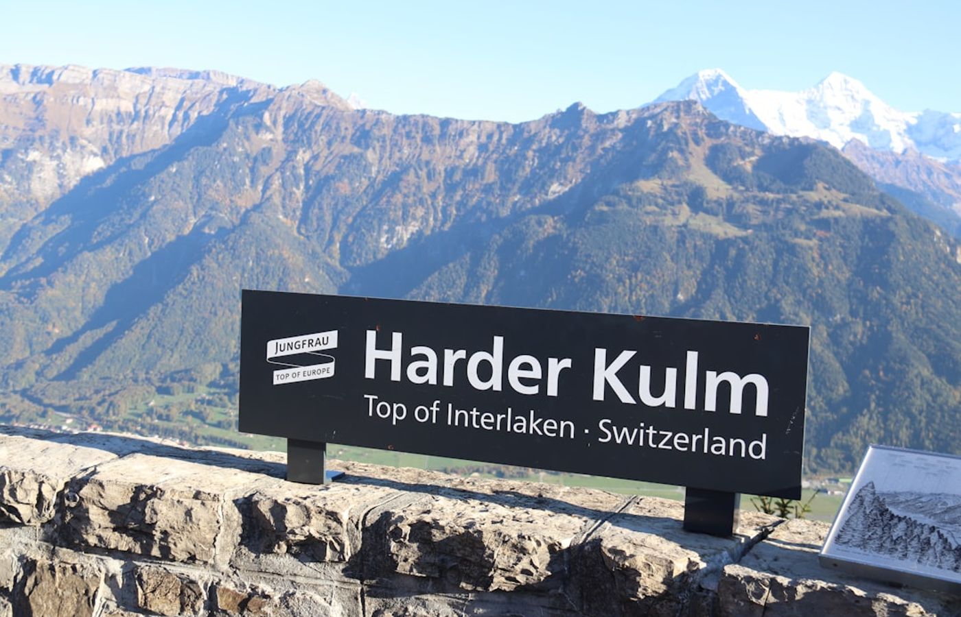

Medium on this list, and the only mountain climb that begins in the town itself. Interlaken Ost to Harder Kulm measures 4.10 km with a signposted 2 hours 30 minutes, 758 m of ascent and 566 m of descent, running from 759 m at the station to 1,325 m at the top. The Swiss grade is T1 to T2, which in practice means a well-made forest path with switchbacks and no exposure, though the gradient is relentless enough that most people take longer than the sign says.
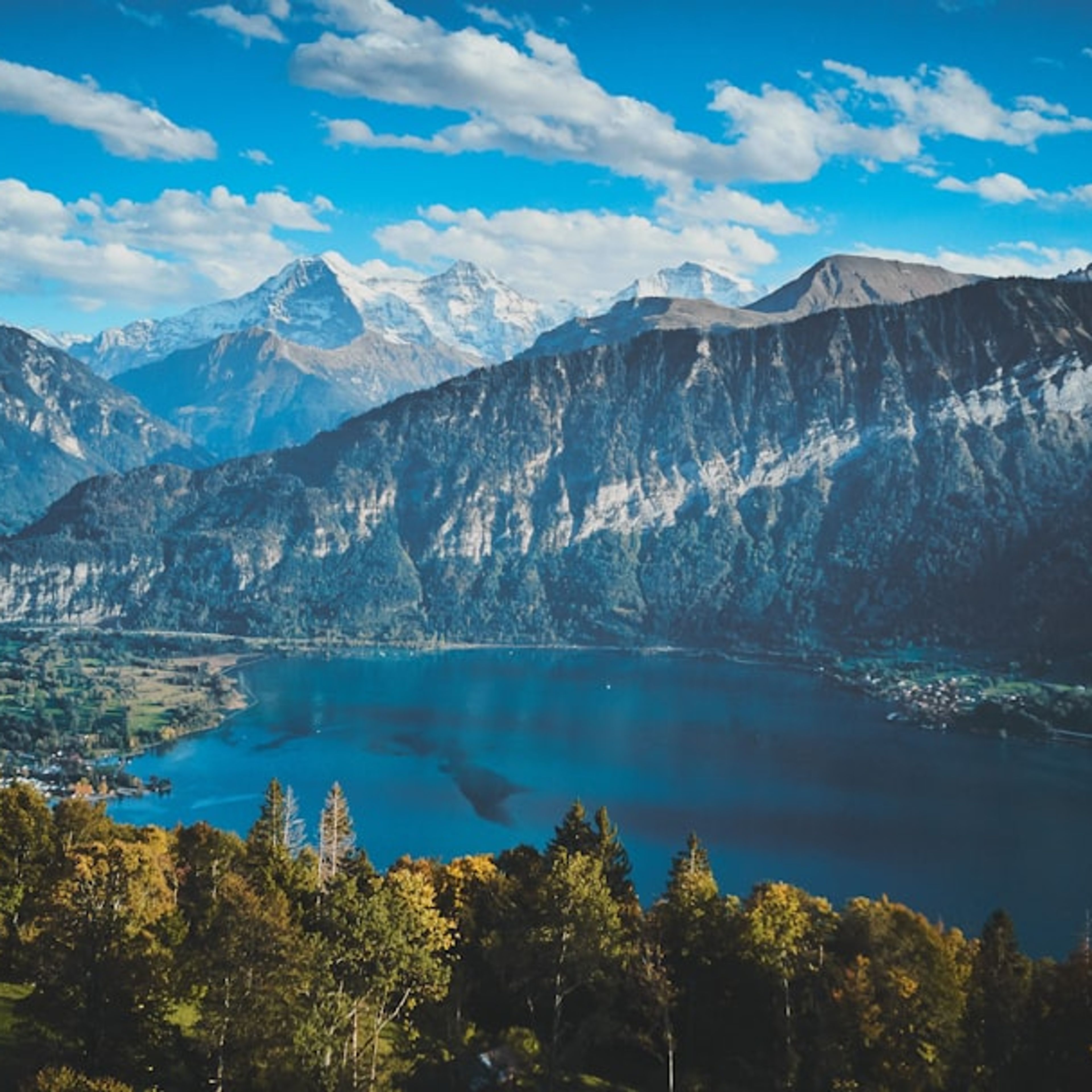
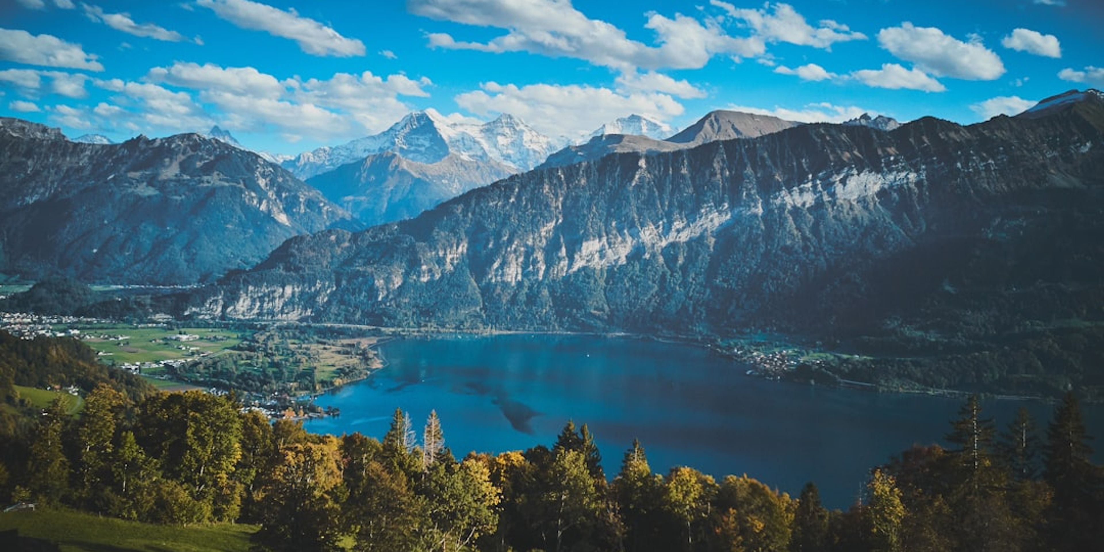
You get almost no view until the final few minutes, then the trees stop and the whole Bodeli opens up: Lake Thun to the west, Lake Brienz to the east and Interlaken on the flat strip between them, with the Eiger, Monch and Jungfrau lined up behind. The summit restaurant sits at 1,322 m beside the viewing platform. If you would rather not walk, the Harderbahn funicular covers the same rise in 10 minutes from the valley station at Harderstrasse 14, and its 2026 season runs from the beginning of April to the end of November.
Jungfrau Railways publishes the Harderbahn return fare in US dollars on its international shop, so treat the franc figure as approximate: expect roughly CHF 44 return between 1 May and 31 October 2026, and around CHF 38 for the 1 to 29 November shoulder. Swiss Travel Pass, Half-Fare Card and Berner Oberland Pass holders pay half. The Jungfrau Travel Pass covers the funicular in full, which is worth remembering if you are buying one for the mountain days anyway.
Pro Tip: Walk up in the morning and buy a one-way descent ticket at the summit window. Coming back down 758 m of switchbacks is the part people regret, and the viewing platform is at its most crowded between 17:00 and sunset when the funicular delivers the evening dinner traffic.
2Bachalpsee from Grindelwald-First - The Easiest Day Out From Interlaken Ost
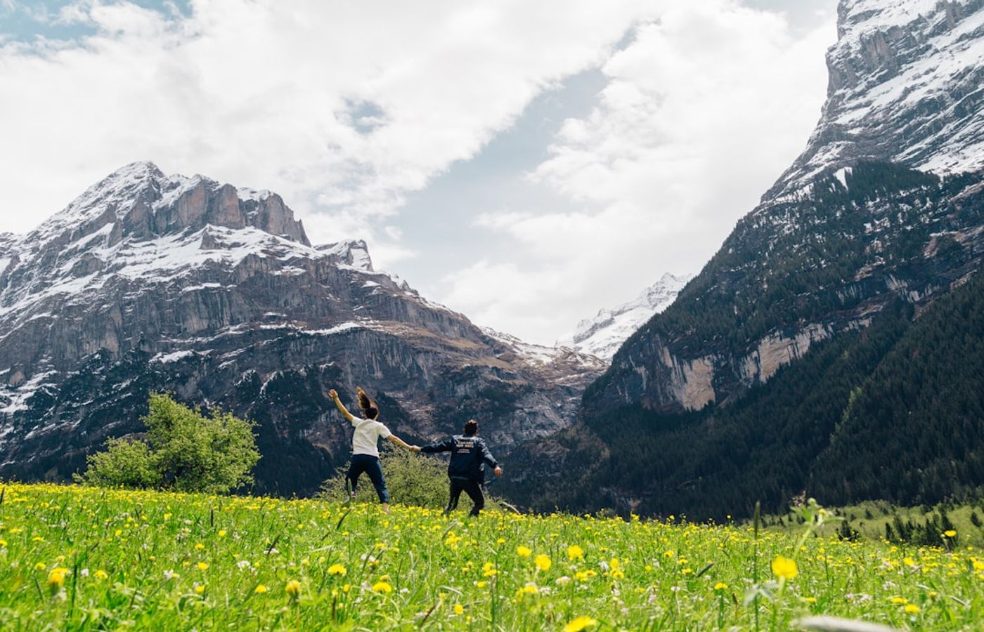
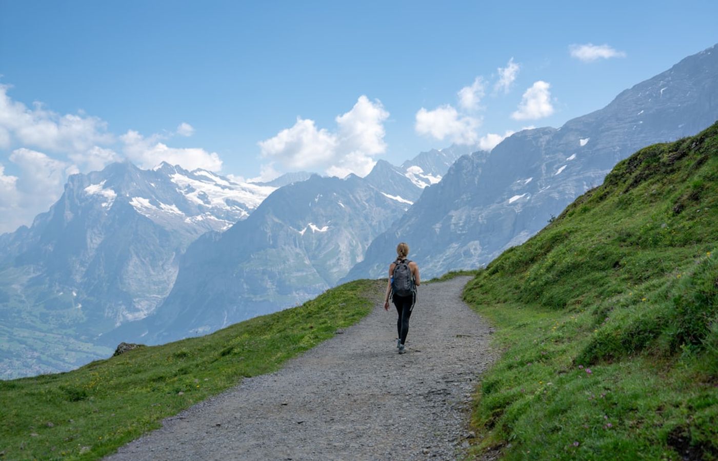
This is the gentlest of the three high-mountain routes here. First to Bachalpsee and back, waymarked as route No. 1, is 5.8 km round trip with 202 m of ascent and 202 m of descent, signposted at 1 hour 40 minutes (jungfrau.ch quotes 1 h 50, so allow the longer figure). Graded T1 and almost entirely a broad gravel path between 2,164 m and 2,280 m, it is the one hike on this list a moderately fit ten-year-old will finish without complaint.
From an Interlaken base this is a full day, not a morning. Take the Bernese Oberland Railway from Interlaken Ost to Grindelwald, walk 8 to 10 minutes to the Talstation Firstbahn, then ride the gondola 25 minutes through the Bort and Schreckfeld intermediate stations to First at 2,167 m. The lake itself sits at 2,265 m and holds the Schreckhorn and Wetterhorn in its surface on a still morning, which is the reason it appears on every Swiss postcard rack. The path is normally snow-free from roughly mid-June to late October.
The Firstbahn adult return is roughly CHF 76; the "from CHF 38" shown on jungfrau.ch is the reduced rate, not the walk-up price, so budget for the higher figure. Here is the pass arithmetic if you are staying in Interlaken: one Firstbahn return at about CHF 76 plus a Harderbahn return at about CHF 44 already eats more than half of a 3-day Jungfrau Travel Pass at CHF 210, and the pass throws in every BOB train from Interlaken Ost as well. Swiss Travel Pass, Half-Fare Card and Berner Oberland Pass holders get 50% instead.
Pro Tip: Get this one done before 26 October 2026. The Firstbahn closes for maintenance from 26 October to 27 November 2026, and with it goes the only practical way up to the lake; the 2026 running period is 29 November 2025 to 25 October 2026.

3Eiger Trail - Under the North Face from Eigergletscher to Alpiglen
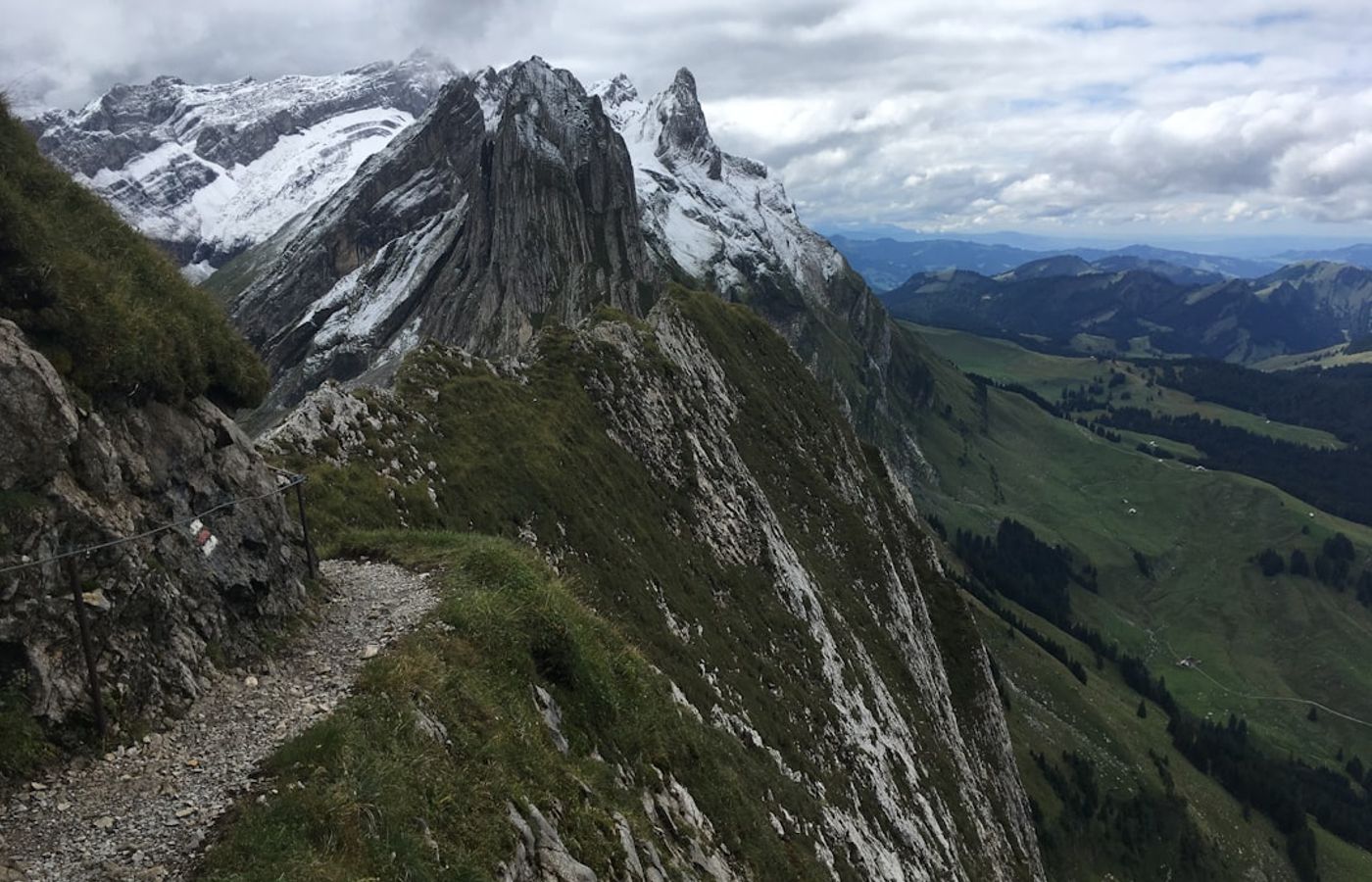
Harder than Bachalpsee, well short of the Faulhornweg. Trail No. 36 covers 6.1 km from Eigergletscher to Alpiglen in a signposted 2 hours, with just 78 m of ascent against 779 m of descent as it drops from 2,346 m to 1,615 m. The grade is T2 and there are rope-secured sections where the path crosses scree, so this is a downhill walk that still wants proper boots and a head for uneven ground. The season is July to October.
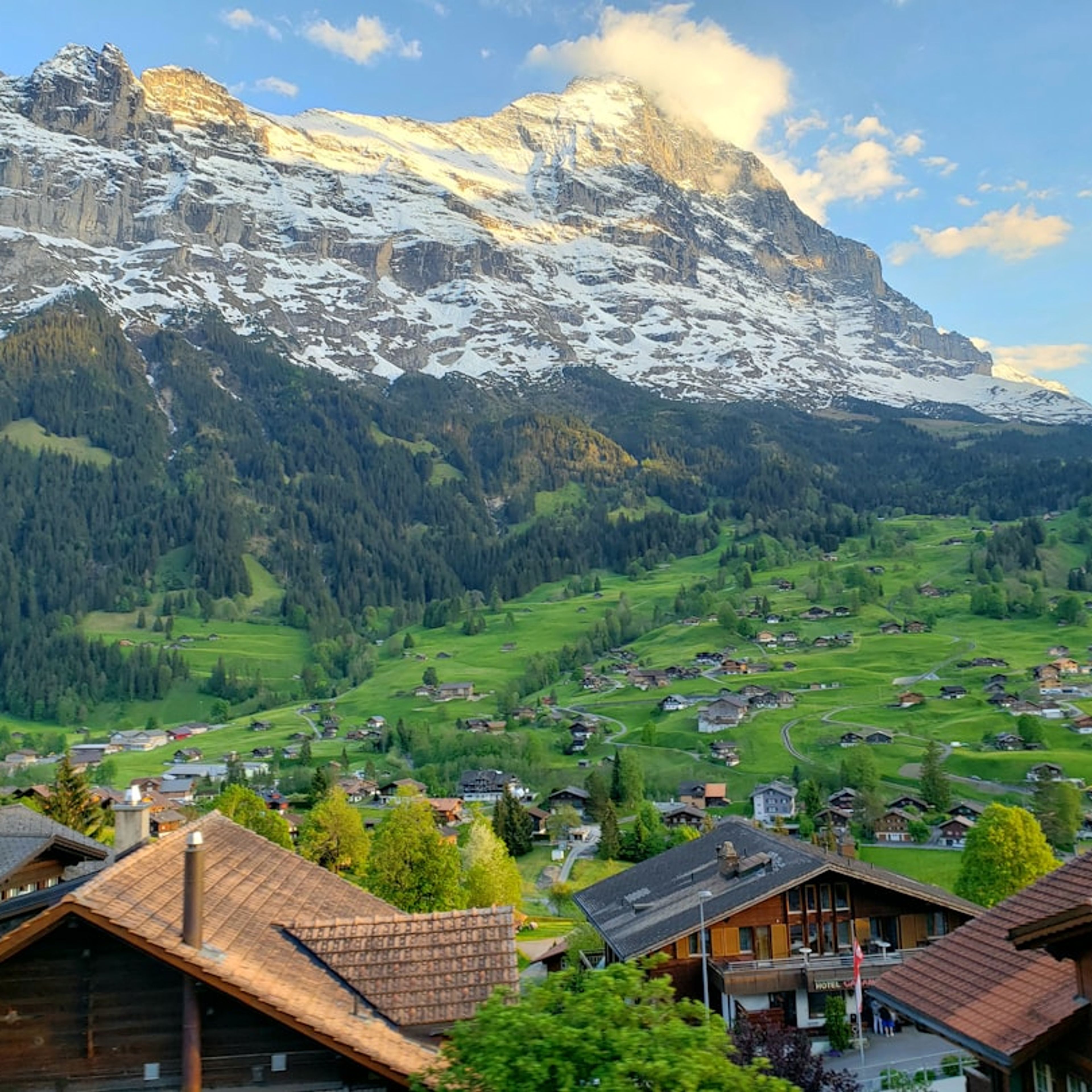
What makes it worth the travel time is that the entire route runs along the base of the north face of the Eiger, close enough that you hear rockfall and meltwater coming off the wall all afternoon. Most people photograph the face from Kleine Scheidegg; this puts you underneath it for two solid hours.
Coming from Interlaken, take the BOB to Grindelwald Terminal at Grundstrasse 54 (it has its own station, so you do not need Grindelwald village) and switch to the Eiger Express. The tricable gondola runs 6,483 m of cable in 15 minutes with 44 cabins of 26 seats and a capacity of 2,200 people per hour, so queues move even in August. Jungfrau Travel Pass holders ride free; Swiss Travel Pass, Half-Fare Card and Berner Oberland Pass holders pay half. The "from CHF 40.60" quoted on jungfrau.ch is the reduced fare, with the full adult single closer to CHF 81, so treat that as an estimate rather than a quote. At the bottom, the Wengernalpbahn runs from Alpiglen down to Grindelwald Grund, and the BOB takes you back to Interlaken Ost.
Pro Tip: Check the last Wengernalpbahn departure from Alpiglen before you leave Eigergletscher, and write it on your hand. There is nothing at Alpiglen but the halt itself, and continuing on foot down to Grindelwald Grund adds a long extra hour to what was meant to be a 2-hour day.
4Schynige Platte to First - The Faulhornweg Traverse
This is the hard one, and nothing else on the list is close. The Faulhornweg runs 16.19 km from Schynige Platte to First in a signposted 6 hours, climbing 825 m and losing 639 m across a range of 1,910 m to 2,681 m, with the Faulhorn summit at the top of that spread. Schynige Platte starts you at 1,967 m and First finishes you at 2,167 m, but the line between them is a long undulating ridge rather than a steady climb.
Difficulty is best described as medium to hard. No operator publishes an official Swiss T-grade for it, so judge it on the terrain instead: natural mountain footpath, long stretches of rock and scree, entirely above the tree line, and no realistic bail-out once you are past the Faulhorn. The reward is that you walk the full length of the ridge with the Eiger, Monch and Jungfrau on your right the whole way and both lakes below on your left.
Access from Interlaken is the easiest part: the BOB drops you at Wilderswil, one stop out, and the Schynige Platte Railway leaves from the same building at Hauptstrasse 2. The rack railway climbs 7.3 km and 1,420 m in 52 to 53 minutes with departures every 40 minutes, and its 2026 season is 13 June to 25 October. That railway season, more than the snow, is what decides whether you can walk this; the path itself is realistically clear from July to early October. Return fare is roughly CHF 68 adult, the "from CHF 34" on jungfrau.ch being the reduced rate. You exit by taking the Firstbahn down from First to Grindelwald and the BOB back to Interlaken Ost, and the Jungfrau Travel Pass covers both railways plus the gondola.
Pro Tip: Take the first Schynige Platte departure of the day from Wilderswil. Between a 52-minute rack-railway climb, 6 hours of signposted walking and a 25-minute Firstbahn descent, a mid-morning start leaves no margin at all, and your deadline is the last Firstbahn cabin from First rather than nightfall.
5Interlaken West to the St. Beatus Caves - The Easy Lake Thun Shore Walk
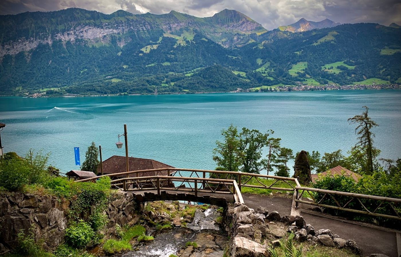
The easy option, and the only route here that needs no lift ticket and no mountain season. It runs 8.5 km from Interlaken West station along the north shore of Lake Thun to the St. Beatus Caves in about 2 hours 20 minutes, with 260 m of ascent and 200 m of descent. The operator publishes no difficulty grade, so easy is an inference from the profile rather than an official rating, but the path is flat shoreline for most of its length with the climbing saved for the approach to the caves.
Its real advantage is the calendar. The shore path stays open year-round, which makes it the answer in April, in mid-November when the Firstbahn is shut, or on any day the cloud base sits at 1,500 m and the mountain hikes would show you nothing. The walk finishes at the cave mouth above Sundlauenen, where the system runs a kilometre back into the Beatenberg hillside past lit chambers and an underground waterfall.
Cave admission is CHF 20 for an adult. The 2026 summer season runs 28 March to 8 November 2026, and a separate winter season runs 21 November 2026 to 27 March 2027, so the caves are shut for a fortnight in between even though the path is not. An SBB RailAway combination ticket takes 20% off admission and the BLS boat combination takes 50% off. For the return leg you have a choice: the STI bus on line 21 between Thun and Interlaken stops at the entrance, or the BLS boat pier at Beatushohlen-Sundlauenen, which is 20 to 25 minutes downhill from the caves.
Pro Tip: Buy the BLS boat combination rather than walking both directions. It halves cave admission from CHF 20 to CHF 10 and puts you on Lake Thun for the way back, but the pier at Beatushohlen-Sundlauenen is a 20 to 25 minute descent from the entrance, so leave the caves with a good margin before your sailing.

CEO and co-founder
Tomas is the co-founder and director of trip1, an European company specializing in reservation services. He launched the company in 2025 with a focus on building scalable, efficient operations.
5 Best Hikes in Interlaken - Easy to Hard, with Trail Times - FAQ
Yes, in four days if the weather holds. Harder Kulm and the St. Beatus Caves shore walk are half-days from Interlaken itself. Bachalpsee and the Eiger Trail are full days out to Grindelwald, and the 6-hour Faulhornweg needs a whole day plus a settled forecast, so keep that one flexible rather than pinned to a date.
Start with Harder Kulm and finish with the Faulhornweg. The 758 m climb above Interlaken Ost tells you honestly how your legs handle Alpine ascent, the flat St. Beatus Caves walk works as a recovery day, and the 16.19 km Schynige Platte to First traverse deserves your best weather window rather than a fixed slot in the itinerary.
Only two of them. Harder Kulm starts at Interlaken Ost station and the St. Beatus Caves walk starts at Interlaken West. Bachalpsee and the Eiger Trail both need a Bernese Oberland Railway train to Grindelwald first, and the Faulhornweg starts from Wilderswil, one stop down the same line, on the Schynige Platte Railway.
Budget CHF 235 for a 4-day Jungfrau Travel Pass plus CHF 20 for cave admission. That 2026 pass price covers the Harderbahn funicular, the Grindelwald-First cableway, the Schynige Platte Railway, the Eiger Express, the Wengernalpbahn and the trains linking them from Interlaken Ost. Swiss Half-Fare Card holders pay CHF 165 for the 3-day version instead.
Bachalpsee is the easiest mountain hike and the Faulhornweg is by far the hardest. First to Bachalpsee and back is 5.8 km with 202 m of ascent on a T1 path in about 1 hour 40 minutes. Schynige Platte to First is 16.19 km with 825 m of ascent and a signposted 6 hours over the 2,681 m Faulhorn. The flat St. Beatus Caves shore path is gentler than either but is not a mountain route at all.
July to early October is the only window when all five work. The Schynige Platte Railway runs 13 June to 25 October 2026, the Firstbahn shuts for maintenance from 26 October to 27 November 2026, the Harderbahn funicular runs from the beginning of April to the end of November 2026, and the Eiger Trail is a July to October route. Only the St. Beatus Caves shore path is open year-round.
The Lauterbrunnen valley and the Schilthorn side of the region, plus the Saxeten Trail just south of Interlaken. Lauterbrunnen is as easy to reach from Interlaken Ost as Grindelwald is, and Murren sits above it. The Saxeten Trail gets recommended constantly, but the only officially measured data for it covers the 3 km winter snowshoe version, so treat summer descriptions of it with caution.