

Guides · Gran Canaria
10 Best Things to Do in Gran Canaria

CEO and co-founder
This guide covers the 10 best things to do in Gran Canaria, ordered so you can build a route instead of a wish list. Every entry gives the exact address, the Global bus line that serves it or the driving time where no bus does, the distance from Las Palmas de Gran Canaria, and a Pro Tip drawn from how the place actually works on the ground.
Gran Canaria splits into three travel zones and the list reflects that. The resort south around Maspalomas and Mogan holds the dune field, the sheltered bays and the harbour towns, and it stays warm and dry for most of the year. The north is greener and wetter, with the island capital, a three-kilometre city beach and banana country behind it. Between the two sits the mountainous interior, where Roque Nublo, Tejeda and Pico de las Nieves sit above 1,000 metres and the temperature drops roughly ten degrees against the coast.
A hire car unlocks most of this. Global buses run the coastal corridor well and climb as far as Tejeda, but the viewpoints, ravines and trailheads inland need your own wheels or a long detour by taxi. Rates start near 30 EUR a day in low season. Four days is the realistic minimum to see all ten without spending the holiday in a passenger seat.
1Maspalomas Dunes - Shifting Sands and a Protected Reserve in the South
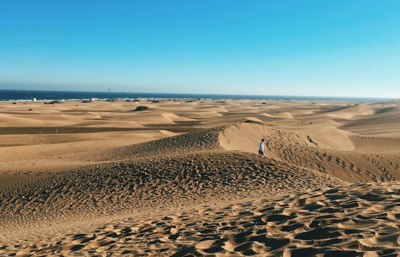

The Maspalomas Dunes cover roughly 400 hectares between Playa del Ingles and the Faro de Maspalomas lighthouse, and they are a protected nature reserve, the Reserva Natural Especial de las Dunas de Maspalomas. Sand carried in from the seabed over thousands of years has built ridges up to 12 metres high that shift measurably from one year to the next.
Walking is restricted to marked routes across the reserve, and stepping off them damages the dune system and the brackish La Charca lagoon behind it. The Maspalomas reserve has been protected since 1987. The full crossing from the Mirador de las Dunas to the lighthouse takes about an hour on soft sand, and entry is free. There is no shade anywhere inside, and the surface can exceed 50 C in August.
Pro Tip: Enter from the Mirador de las Dunas at first light. The sand is cool, the ridges are still unmarked by footprints, and you avoid the midday heat that makes the one-hour crossing genuinely unpleasant.
2Roque Nublo - The Volcanic Monolith at the Centre of the Island
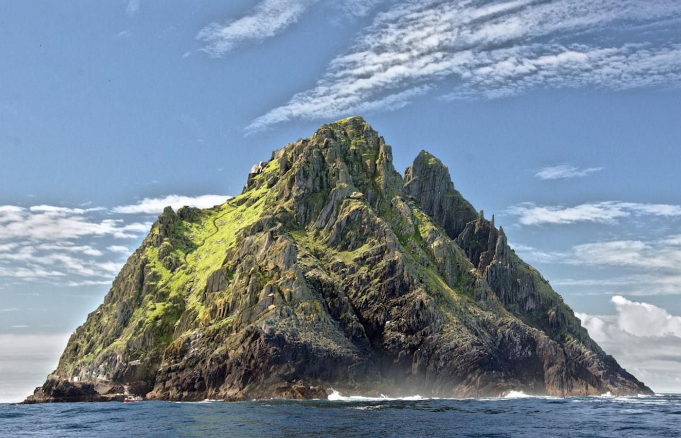

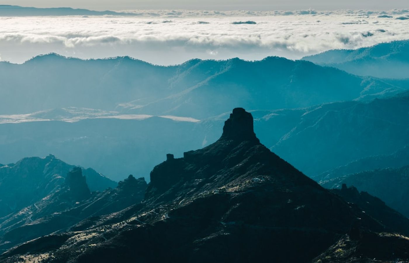
Roque Nublo stands 80 metres tall on a plateau 1,813 metres above sea level, and it is the image most visitors carry away from Gran Canaria. Geologists date the eruption that formed Roque Nublo to around 4.5 million years ago, and the volcanic cycle named after the rock built much of the island's interior.
The walk from the La Goleta car park on the GC-600 takes 30 to 40 minutes each way and climbs about 150 metres on a stony path. It is not technical, though the last stretch is exposed and windy. On clear winter mornings Mount Teide on Tenerife rises across the water. Access and parking are free, and the car park fills by 10am at weekends.
Pro Tip: Drive up before 9am or after 4pm. Cloud banks against the plateau through the middle of the day, and at sunset the rock turns copper once the coach groups have gone.

3Las Palmas de Gran Canaria and Vegueta - The Capital's Oldest Quarter
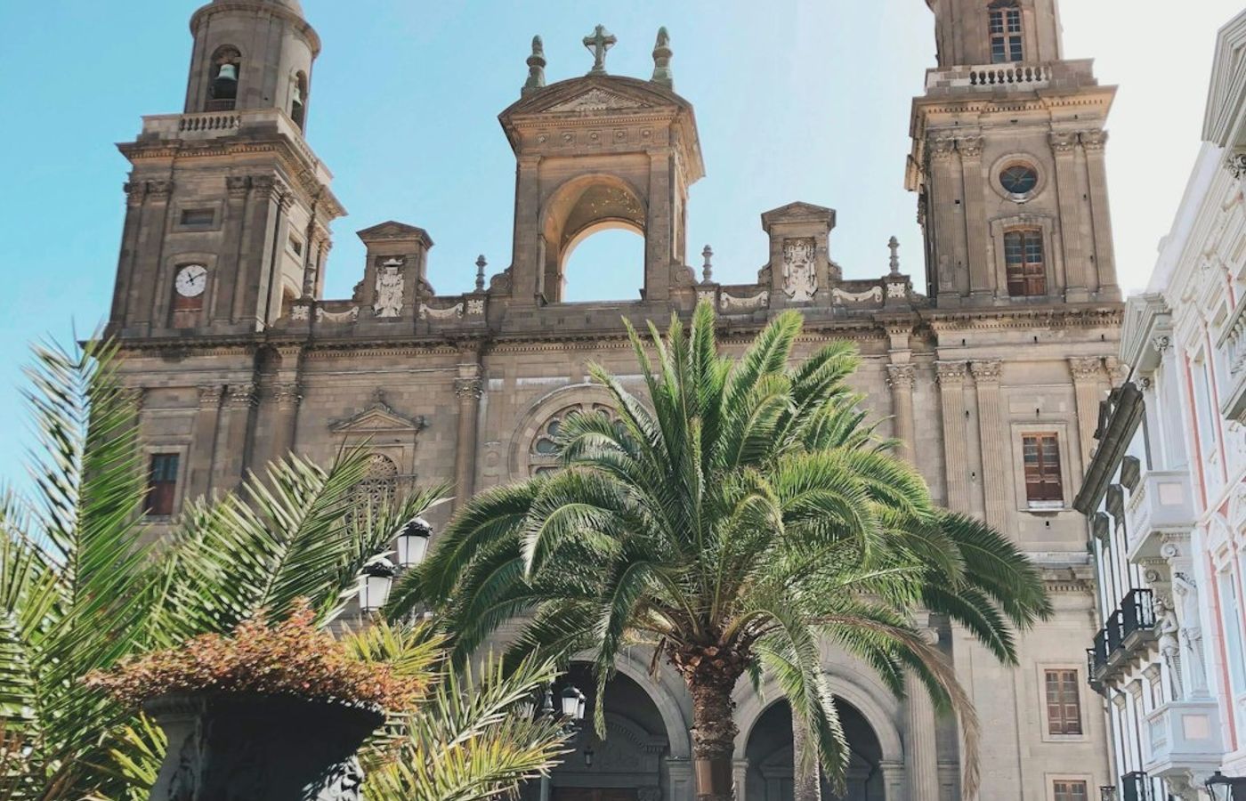

Las Palmas de Gran Canaria was founded in 1478, and Vegueta is where that story began. The quarter's cobbled grid holds the Catedral de Santa Ana, where a lift carries you up a tower for a rooftop view across terracotta roofs, and the Casa de Colon, a museum in the old governor's house where Christopher Columbus is said to have stayed in 1492.
Plaza de Santa Ana is the civic heart, guarded by eight bronze dogs. Two streets away the Mercado de Vegueta sells island cheeses and papayas from 7am. Cathedral entry costs around 5 EUR, the Casa de Colon about 4 EUR and the Museo Canario roughly 6 EUR. Thursday evening brings the Vegueta tapas run, when bars along Calle Mendizabal serve a small plate and a drink for a few euros.
Pro Tip: Park at the San Telmo underground car park and walk south into the quarter. Street parking in Vegueta is metered, scarce and enforced hard on weekday mornings.
4Playa de las Canteras - A Three-Kilometre City Beach with a Natural Breakwater
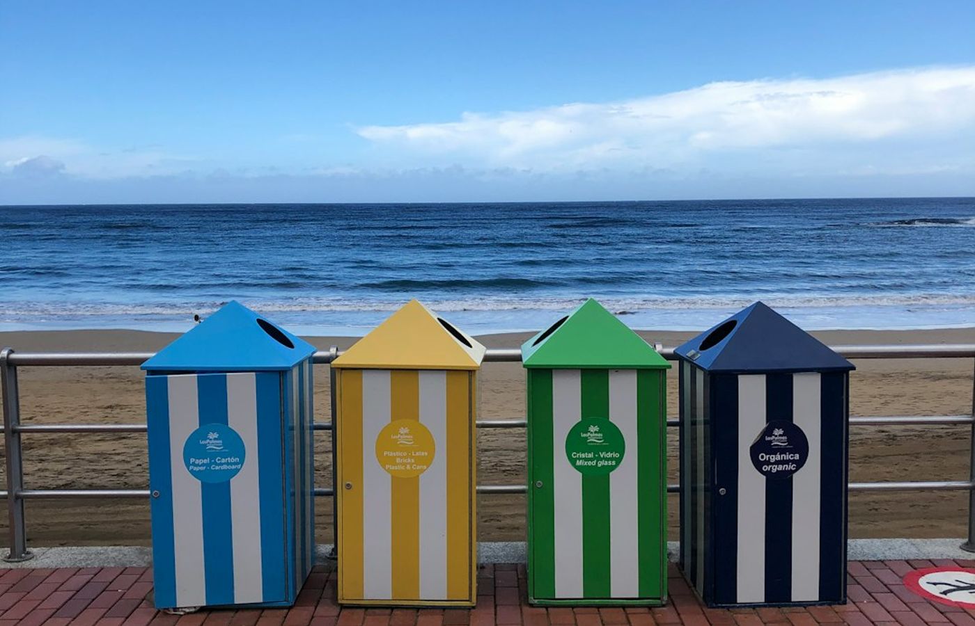
Playa de las Canteras runs three kilometres along the northern edge of Las Palmas de Gran Canaria, and a volcanic reef called La Barra lies offshore, flattening the Atlantic swell across most of its length. That reef is why families swim here in water that behaves like a lagoon while surfers work the exposed La Cicer end near the Auditorio Alfredo Kraus.
The promenade behind the sand is lined with fish restaurants, where grilled vieja with papas arrugadas runs about 14 to 18 EUR. Sunbed and parasol hire costs roughly 10 EUR a day. Snorkelling over La Barra at low tide turns up sea bream and octopus in under two metres of water. The beach itself is free and lifeguarded year round.
Pro Tip: Check the tide table before you swim. At high tide the reef submerges and the swell rolls straight in, while two hours either side of low tide gives the calmest and clearest water.
5Puerto de Mogan - A Canal-Threaded Harbour Town on the Southwest Coast
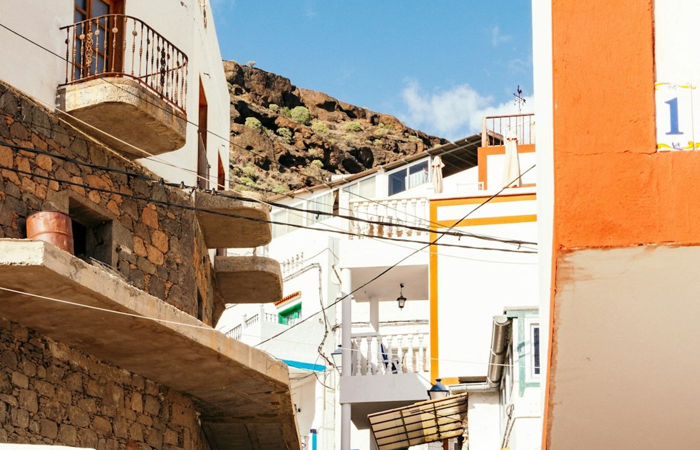
Puerto de Mogan was a fishing village before the low white apartments and footbridges went up over its saltwater canals in the 1980s. What remains is walkable and low-rise, with bougainvillea spilling over the lanes and a working marina at the centre. Fishing boats still land at the old quay each morning, and the catch is sold beside the yachts.
The Friday market fills the harbour front from about 9am to 2pm and is the busiest morning of the week by a wide margin. A small sheltered beach sits east of the marina. Glass-bottom ferries link Puerto de Mogan with Puerto Rico and Arguineguin for roughly 12 to 20 EUR return, which is the best way to see the cliffs of this coast from the water.
Pro Tip: Come on a Thursday or Saturday if you want the lanes to yourself. Friday's market draws coaches from every southern resort and the parking areas are full by 10am.
6Tejeda - A Mountain Village Ringed by Volcanic Rock
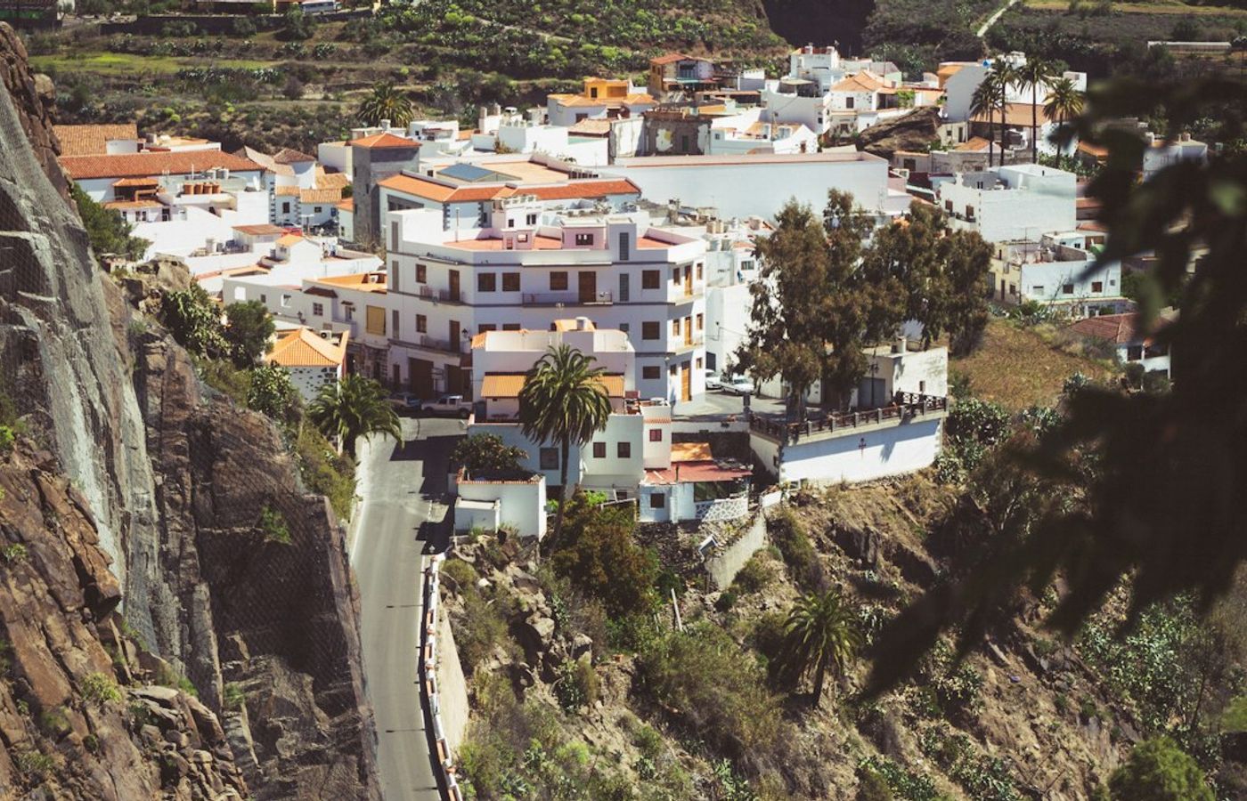
Tejeda sits at 1,050 metres inside the eroded basin islanders call the Caldera de Tejeda, and Miguel de Unamuno famously described the landscape around it as a petrified storm. Whitewashed houses with terracotta roofs step down the slope, and almond terraces fill the ground below them. Those trees flower through late January and February.
The village is known across Gran Canaria for almond sweets, and bakeries on Calle Doctor Hernandez Guerra sell bienmesabe and mazapan by weight for a few euros. There is a small museum of medicinal plants and an ethnographic museum, each under 3 EUR. From the viewpoint at the top of the village you look straight across at Roque Bentayga and Roque Nublo.
Pro Tip: Time a visit for the almond blossom festival in early February, when the terraces turn white and pink. The GC-15 climb from Vega de San Mateo is a slow road with tight switchbacks, so allow a full hour from Las Palmas de Gran Canaria.
7Pico de las Nieves - The Highest Viewpoint on Gran Canaria
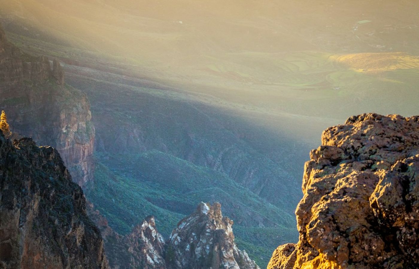
Pico de las Nieves reaches 1,949 metres, the highest point on Gran Canaria, and on a clear day the view takes in the whole central caldera, Roque Nublo below and the cone of Mount Teide about 130 kilometres away on Tenerife. A paved road runs almost to the top, so this viewpoint asks for no walking at all.
Temperatures up here typically sit ten degrees below the coast, and winter nights drop below freezing with occasional snow, which is where the name comes from. Part of the summit is a military installation and closed to the public, so follow signs to the public mirador. Canary pine forest spreads northwest below the rim. There is no entry fee and no cafe.
Pro Tip: Bring a fleece even in August. Wind chill at 1,949 metres regularly makes it feel ten to fifteen degrees colder than Maspalomas, and most visitors arrive in beach clothes and leave within five minutes.
8Guayadeque Ravine - A Cave-Dwelling Valley Between Aguimes and Ingenio
The Barranco de Guayadeque cuts seven kilometres inland from Aguimes, and people have lived in caves carved into its walls since before the Castilian conquest. Some of those caves are still occupied today. Others have become restaurants, a chapel dug into the rock at Cuevas Bermejas, and an interpretation centre built into the hillside that explains the ravine's aboriginal burial sites.
The valley is one of the richest botanical pockets in the Canary Islands, holding endemic plants that grow nowhere else on earth. A single road runs up the ravine and ends at a cluster of cave restaurants serving goat stew and gofio escaldado for around 12 to 16 EUR. The interpretation centre charges under 5 EUR. Marked walking routes climb from the roadhead into the upper valley.
Pro Tip: Book a cave restaurant table for Sunday lunch a week ahead. Canarian families fill Guayadeque at weekends, and the road up is single-track in places, so arriving after 1pm means reversing for oncoming cars.
9Playa de Amadores - A Sheltered Man-Made Bay Beside Puerto Rico
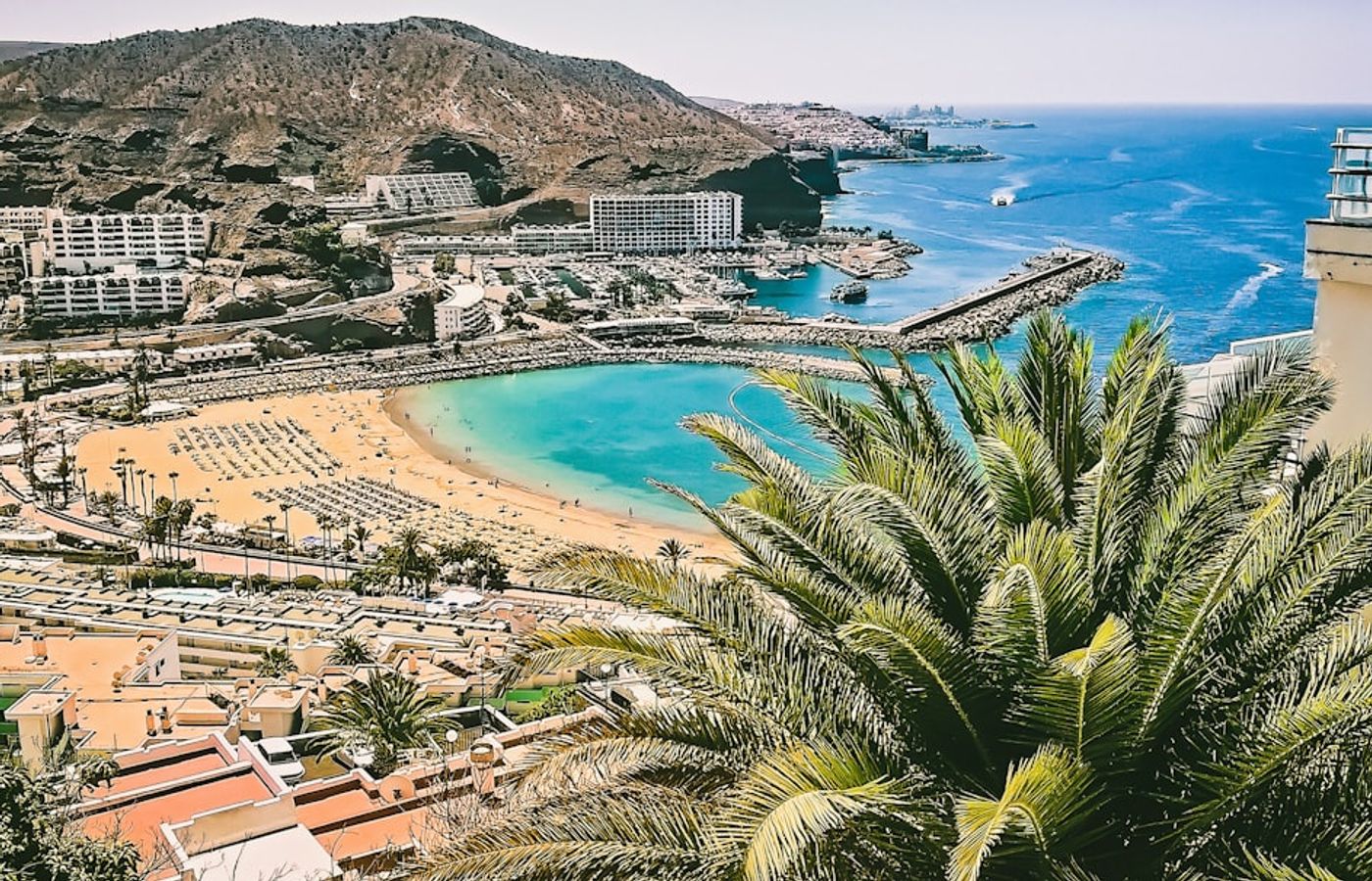
Playa de Amadores is an engineered beach, a curved bay of imported pale sand held between two breakwaters and opened in the 1990s just west of Puerto Rico. The water inside those arms barely moves. That makes it the most forgiving swimming spot on the whole south coast for small children and nervous swimmers.
A promenade of low-key bars and ice cream places curves behind the sand, and a walkway climbs the headland to a viewpoint over the cliffs. Sunbeds cost about 6 EUR each and go quickly in high season. Paid parking above the beach runs roughly 1 EUR an hour. The bay faces southwest, so it keeps afternoon sun longer than the beaches at Puerto Rico.
Pro Tip: Walk the coastal path from Puerto Rico rather than driving. It takes 25 minutes, runs above the sea the whole way, and saves you circling the Amadores car park between 11am and 3pm.
10Caldera de Bandama - A Volcanic Crater Half an Hour from the Capital
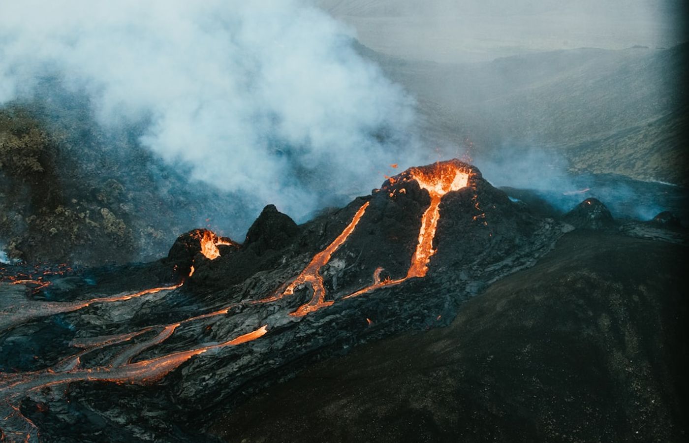
The Caldera de Bandama is a near-perfect volcanic crater roughly a kilometre wide and 200 metres deep, formed about 2,000 years ago, which counts as recent in the geology of Gran Canaria. It is the closest serious landscape to Las Palmas de Gran Canaria, and that proximity makes it the easiest half-day trip on this list.
There are two ways to see it. Drive to the Pico de Bandama at 569 metres for a viewpoint taking in the crater, the capital, the airport and the mountains inland. Or take the path from the Bandama golf course down to the crater floor, a descent of about 45 minutes each way past a vineyard and an abandoned farmstead. Both cost nothing.
Pro Tip: Do the crater floor walk in the morning and carry water. The path is fully exposed, the climb back out is steeper than it looks on the way down, and there is nothing to drink between the rim and the bottom.

CEO and co-founder
Tomas is the co-founder and director of trip1, an European company specializing in reservation services. He launched the company in 2025 with a focus on building scalable, efficient operations.
Climate averages · 1991–2020
When is the best time to visit Gran Canaria?
The best time to visit Gran Canaria is between April and September, the most comfortable stretch of the year on these averages.
Best time · April–SeptemberRainfall
- Jan18°
- Feb18°
- Mar19°
- Apr20°
- May21°
- Jun23°
- Jul24°
- Aug25°
- Sep25°
- Oct23°
- Nov21°
- Dec20°
More of Spain
10 Best Things to Do in Gran Canaria, Spain - FAQ
No, one day is not enough. Gran Canaria measures about 50 kilometres across and the mountain roads to Roque Nublo, Tejeda and Pico de las Nieves are slow, with switchbacks that halve your average speed. Four days covers all ten comfortably. Three works if you start early and skip long lunches.
Group them by region rather than by rank. Spend one day in the south on the Maspalomas Dunes, Playa de Amadores and Puerto de Mogan. Give the interior its own day for Roque Nublo, Tejeda and Pico de las Nieves. Finish in the north with Vegueta, Playa de las Canteras and the Caldera de Bandama, which sits half an hour from Las Palmas de Gran Canaria.
A hire car is the practical choice for seven of the ten. Global buses reach Maspalomas, Puerto de Mogan, Tejeda, Aguimes and Las Palmas de Gran Canaria on reliable schedules. Roque Nublo, Pico de las Nieves and the Caldera de Bandama are awkward without your own vehicle. Rates start near 30 EUR a day outside peak weeks.
Entrance fees are almost nothing. The dunes, beaches, viewpoints and villages are all free, and only the Guayadeque interpretation centre and the Vegueta museums charge, at roughly 3 to 6 EUR each. Budget about 150 to 220 EUR for four days once you add car hire, fuel, parking and lunches for two people.
Gran Canaria works year round, but November to April is the sweet spot. Coastal days sit between 20 and 24 C, the interior stays clear, and crowds thin outside Christmas and Easter. February adds almond blossom in Tejeda and the Las Palmas carnival. Summer suits beach days, though the mountains turn hot and hazy by midday.
Several places narrowly missed the list. Teror holds a Sunday market and the island's main basilica. The Agaete valley grows coffee and sits below the cliffs at Puerto de las Nieves. Arucas has a neo-Gothic church built from local blue stone, and the Jardin Botanico Viera y Clavijo north of Las Palmas de Gran Canaria is free to enter.

Related travel guides
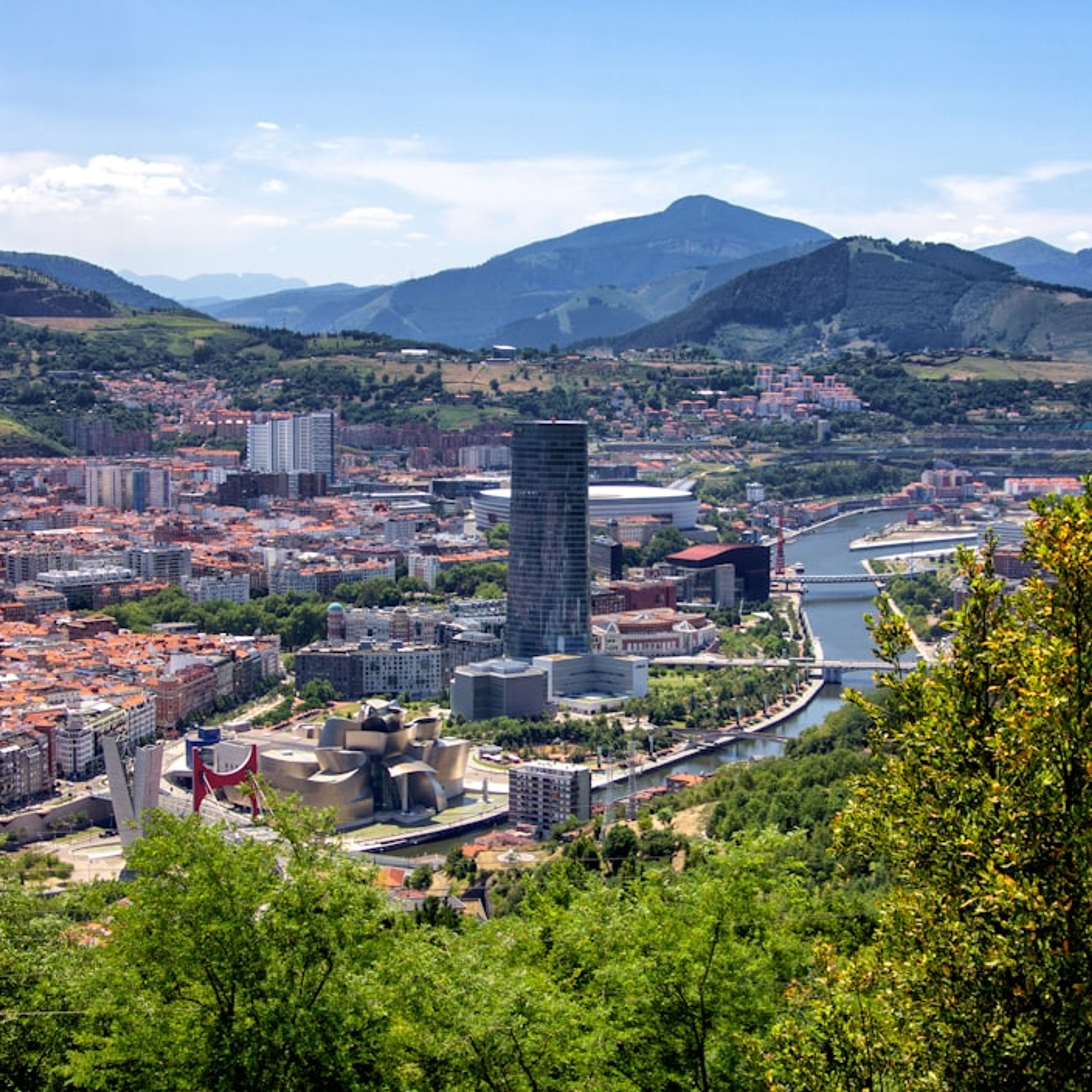
10 Best Things to Do in Bilbao
Discover the 10 best things to do in Bilbao, Spain, with exact addresses, Metro Bilbao transit tips, prices in EUR and a route for two or three days.
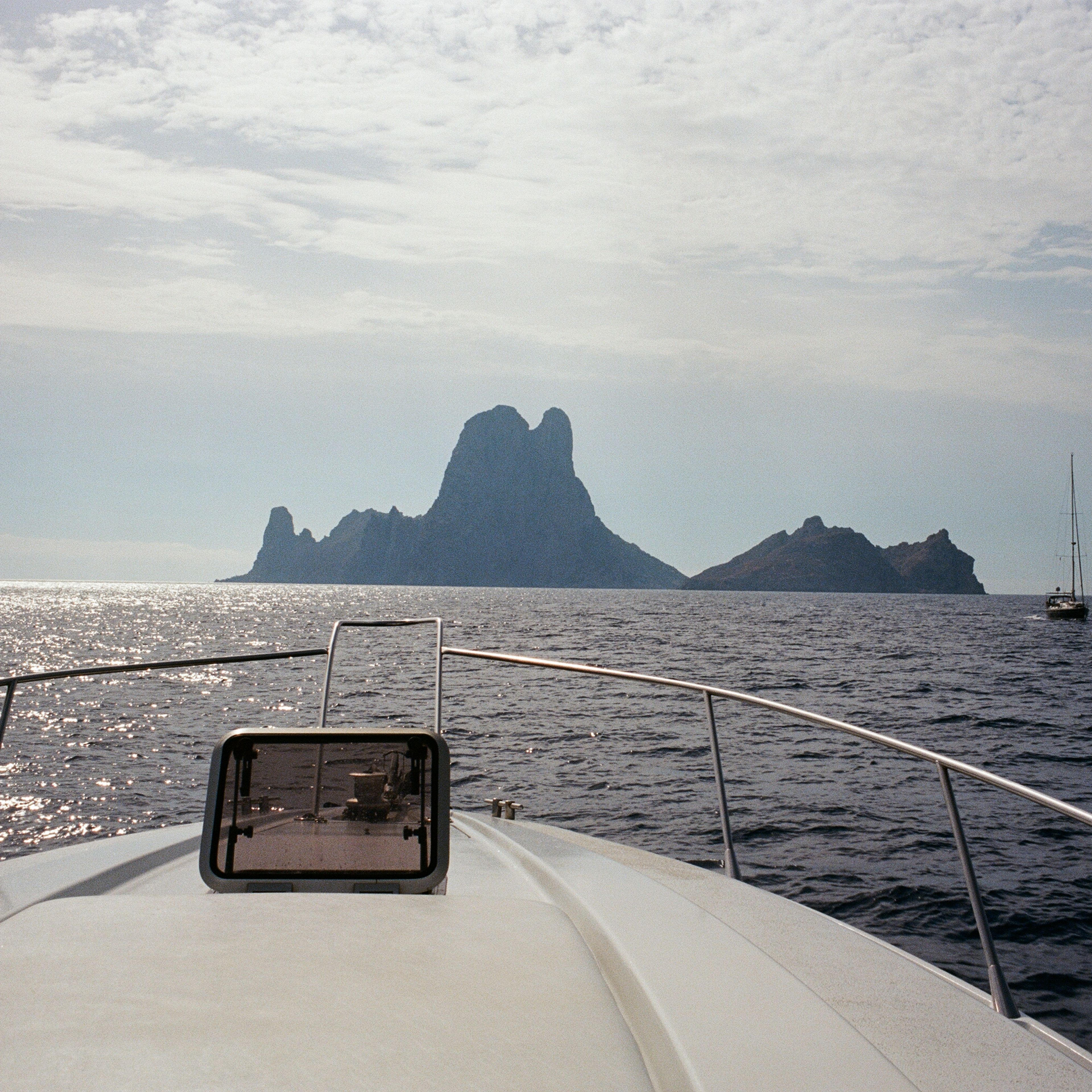
A Photo Journey Through Ibiza's Calmer Side
Discover Ibiza's calmer side: hikes near Es Canaret, Benirras Beach drums, Es Vedra by boat, Formentera, sunset restaurants and a Leica M6 photo journey.