

Guides · Boston
5 Best Fall Foliage Drives Near Boston

CEO and co-founder
This guide covers the 5 best fall foliage drives near Boston, each one a defined route with a road number rather than a vague direction, with distances, key stops at exact addresses, the fees you pay on arrival and the week that route is usually forecast to peak. New England colour moves north to south across roughly five weeks, so the sequence matters more than the individual choice: the New England peak foliage map and the state trackers are what turn that into a workable itinerary.
We have ordered the list by colour quality rather than by convenience, which puts the White Mountains and Vermont first even though they are the furthest out. If you are sequencing a trip instead, that order happens to work anyway, because it runs north to south with the peak. Take Vermont Route 100 and the Kancamagus in the first fortnight of October, the Mohawk Trail and the Berkshires in the second week, then Midcoast Maine and Connecticut's Route 169 as the colour reaches the coast and the south.
Three practical warnings. A car is effectively required, because none of the five has useful scheduled transit. Indigenous Peoples' Day, still widely observed as Columbus Day, falls on Monday 12 October 2026, which puts the single busiest driving weekend of the New England year directly on top of the White Mountains peak. And Boston itself averages around 62F (17C) by day and 46F (8C) by night in October with roughly 4 inches of rain, while the mountain routes run 10 to 15 degrees colder with snow entirely possible above 3,000 feet. Colour timing shifts by a week or more year to year, so check the trackers in the fortnight before rather than booking to the historical average.
1The Kancamagus Highway, NH Route 112 - The Best Foliage Road in New England
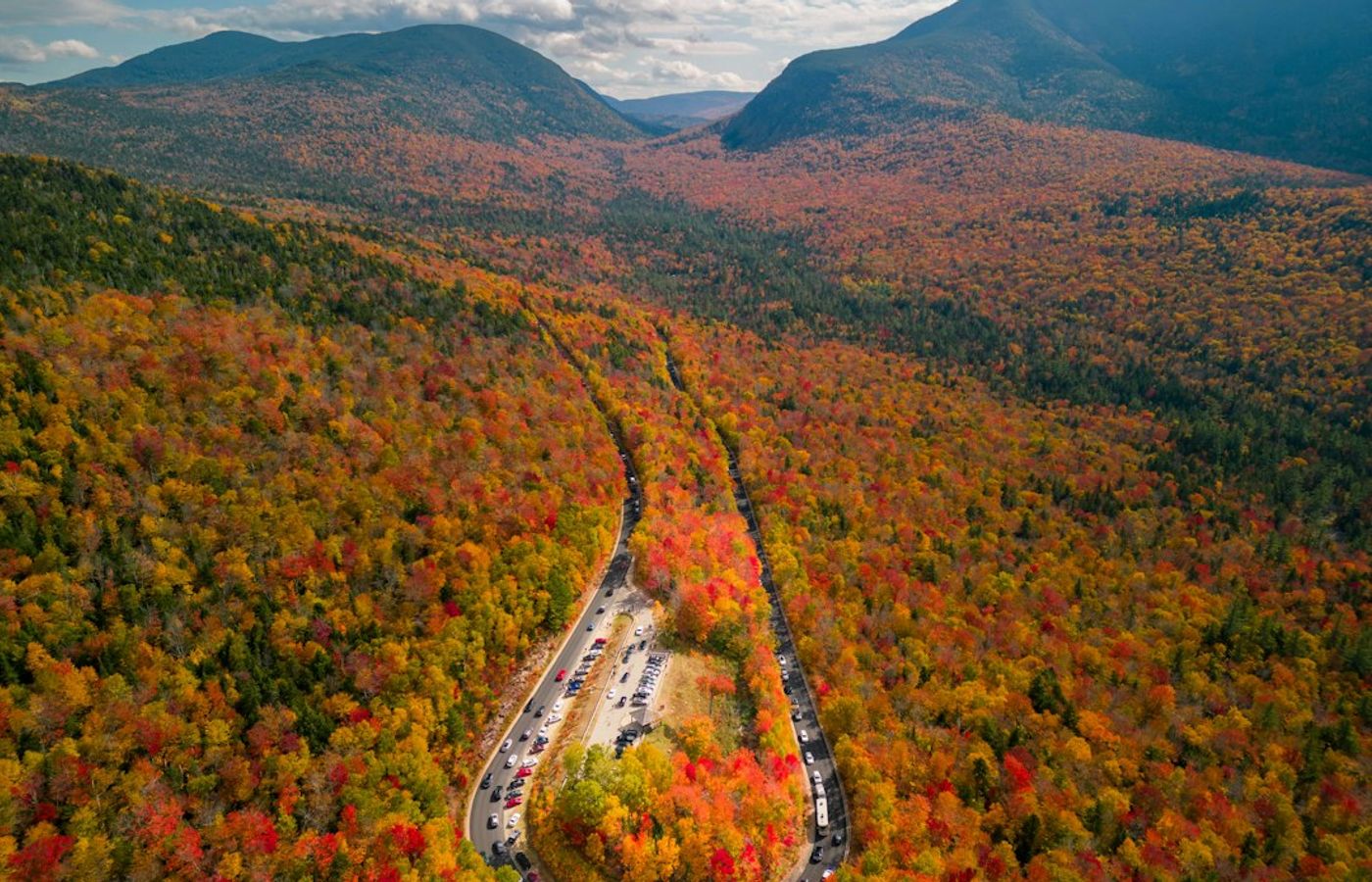

The Kancamagus Highway is the best of the five and the most famous foliage road in the United States. New Hampshire Route 112 runs 34.5 miles from Lincoln to Conway through the White Mountain National Forest, climbing to 2,855 feet at the Kancamagus Pass with unbroken hardwood on both sides and no commercial development of any kind along its length. Driving time without stops is about an hour; with stops it absorbs a full day. Peak is usually the first two weeks of October, and New Hampshire's foliage tracker updates weekly through the season.
The stops to build in, west to east: the Hancock Overlook and the Pemigewasset Overlook either side of the pass, Sabbaday Falls with a short accessible trail to a flume, Rocky Gorge with its footbridge over the Swift River, and Lower Falls, which is the most photographed water on the road. Trailhead and picnic parking requires a White Mountain National Forest recreation pass, bought from self-service kiosks at the lots, though pulling over at the scenic overlooks themselves is free.
Two honest downsides. There is no fuel, no food, no lodging and effectively no mobile signal across the entire 34.5 miles, so fill up in Lincoln or Conway and download the map before you set off. And this is the single most crowded foliage road in New England: on Columbus Day weekend the overlook car parks are full by 9am, the road slows to a crawl behind vehicles stopping at every bend, and the one-hour drive can take three.
Pro Tip: Drive east to west, from Conway toward Lincoln, starting at first light. The overlooks near the pass face east, so you get the morning sun on the valley rather than into the windscreen, and you clear the busiest section before the day-trippers arrive from the Lincoln end.
2Vermont Route 100, Waterbury to Warren - The Earliest Peak of the Five
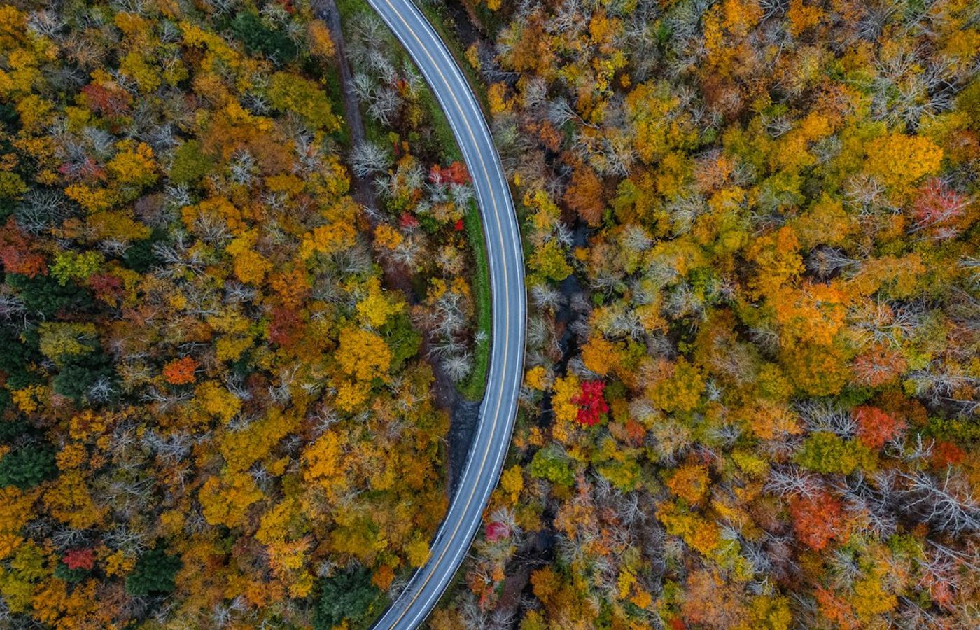

Vermont Route 100 runs the entire length of the state, roughly 200 miles from Massachusetts to Canada, between the spine of the Green Mountains and the Connecticut River valley. You do not drive all of it. The section worth your day is the 30 miles from Waterbury south to Warren through Stowe and the Mad River Valley, which is dense sugar maple on both sides with working farms between. Northern and central Vermont peak earliest of anywhere on this list, from the last week of September into the first fortnight of October.
Three stops make the section. Moss Glen Falls off Randolph Road in Stowe is a short walk to a 125-foot cascade in hardwood. Granville Gulf Reserve, a six-mile protected stretch of Route 100 between Warren and Granville, has Moss Glen Falls Granville visible directly from a roadside boardwalk. The Warren Store at 284 Main Street, Warren, VT 05674 is the general store everyone stops at, and the covered bridge beside it is the classic Mad River Valley photograph.
Be straight about the trade-offs. At three hours each way this is an overnight rather than a day trip from Boston, and doing it as a single day means four hours in a car for three hours of light. Route 100 is two lanes with limited passing, so a slow vehicle sets the pace for everyone behind it. And lodging in Stowe and the Mad River Valley for peak-colour weekends books out months in advance at prices well above the rest of the year.
Pro Tip: Stay in Waterbury rather than Stowe. It sits at the northern end of the section with direct access to I-89, costs noticeably less on a peak weekend, and puts you on Route 100 heading south at sunrise while Stowe is still queueing to get out of the village.

3The Mohawk Trail, MA Route 2 - America's Oldest Scenic Byway
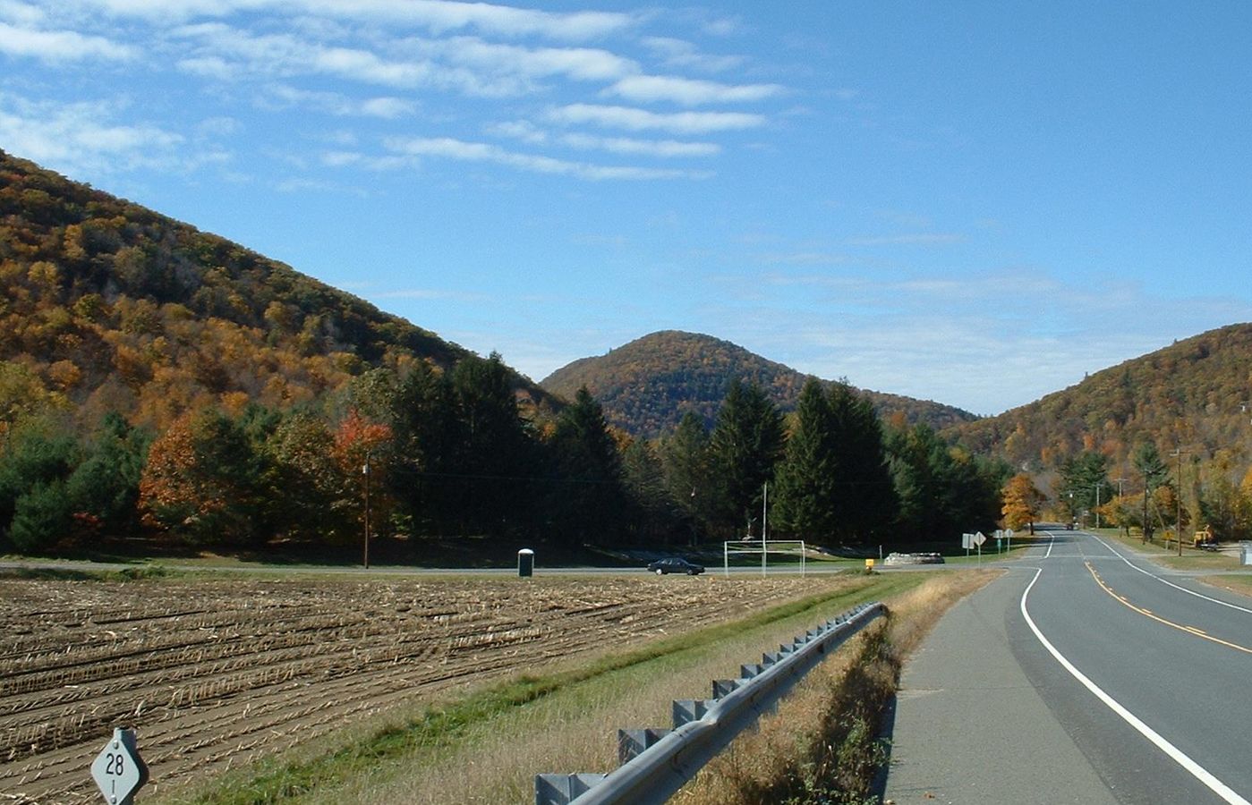

The Mohawk Trail was designated in 1914 and is the oldest scenic byway in the United States, following a Native American trade route across northern Massachusetts. The drivable stretch runs 63 miles along Route 2 from Greenfield to Williamstown, climbing over the Hoosac Range into the Berkshires. It is the best of the five for combining colour with actual towns rather than wilderness. The Berkshires usually peak in the second week of October, roughly a week behind the White Mountains.
Build in four stops. The Bridge of Flowers in Shelburne Falls is a 1908 trolley bridge planted as a garden, alongside the glacial potholes in the riverbed below. The Hairpin Turn above North Adams is the signature viewpoint, looking down the Hoosac Valley. Natural Bridge State Park at 185 McAuley Road, North Adams, MA 01247 holds the only natural white marble arch in North America. And Mount Greylock, at 3,491 feet the highest point in Massachusetts, has a paved summit road up to the war memorial tower and a view across five states.
The catches are seasonal and structural. The Mount Greylock summit road is seasonal, closes for winter and shuts in bad weather, so confirm it is open on the day rather than assuming. The Hairpin Turn is a genuine switchback and a poor choice in a large motorhome. And Route 2 through the Berkshire towns is slow, speed-enforced and single carriageway for most of its length, so the 63 miles take far longer than the distance suggests.
Pro Tip: Drive west to east, from Williamstown back toward Greenfield, and do Mount Greylock first thing. The summit car park is small and fills by mid-morning on a colour weekend, and coming down off the mountain before 11am puts you ahead of the traffic for the rest of the byway.
4US Route 1 and Camden Hills, Midcoast Maine - Colour Over the Water
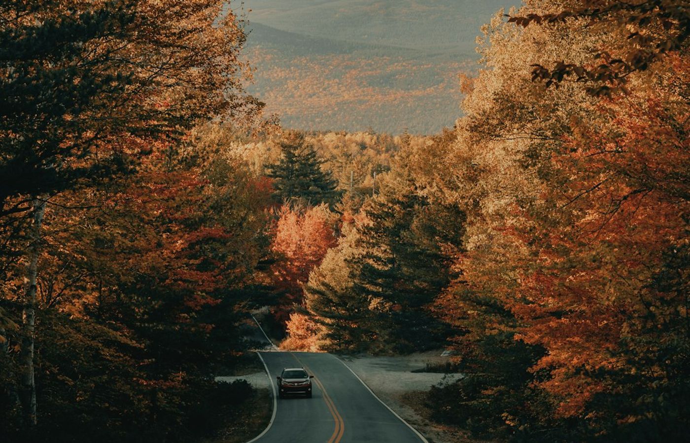
This is the only one of the five where the colour sits against saltwater, and that is the whole argument for the drive. US Route 1 along the Midcoast runs through Rockland, Rockport, Camden and Lincolnville with the hardwood coming right down to working harbours and the islands of Penobscot Bay behind. The centrepiece is Camden Hills State Park and the auto road up Mount Battie, which climbs 800 feet to a stone tower looking straight down over Camden harbour. Coastal Maine peaks later than inland, usually mid to late October.
Camden Hills State Park charges a day-use fee at the gate and the Mount Battie auto road is seasonal, typically running from spring until late October before closing for winter. Beyond the summit, the park has around 30 miles of trails including the Maiden Cliff loop above Megunticook Lake. Rockland, 8 miles south on Route 1, has the Farnsworth Art Museum and its Wyeth collection, which is the indoor fallback when the coastal weather turns.
Two real downsides. At three and a half hours each way this needs an overnight, and Route 1 through the coastal towns is notoriously slow in season, with single-lane bottlenecks through Wiscasset and Camden that add an hour in bad traffic. And the coastal colour is genuinely less intense than the inland routes, because the maritime climate softens the temperature swings that produce the strongest reds. You come here for the combination of water and colour, not for the colour alone.
Pro Tip: Drive the Mount Battie road in the last hour before sunset rather than at midday. The tower looks east over the bay, so late light puts the harbour and the islands in warm colour with the hills behind you lit, and the summit car park has usually emptied by then.
5Route 169, Connecticut's Quiet Corner - The Latest Peak and the Shortest Drive
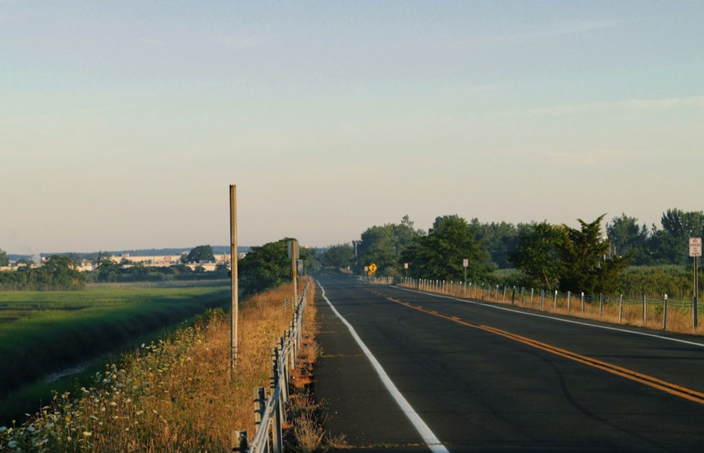
Route 169 through northeastern Connecticut is the closest of the five to Boston and the easiest to do on a whim. A 32-mile National Scenic Byway runs through Woodstock, Pomfret, Brooklyn and Canterbury in what Connecticut markets as the Quiet Corner, and the landscape is colonial village greens, stone walls, white churches and working farms rather than mountain forest. It is the last of the five to turn, holding into the third and fourth weeks of October, which makes it the rescue option for a late trip.
Roseland Cottage in Woodstock is the anchor stop: an 1846 Gothic Revival summer house painted bright pink, with a boxwood parterre garden, now run by Historic New England. Pomfret and Brooklyn both have intact greens worth stopping at, and the orchards and farm stands along the byway are open through the harvest with cider and pick-your-own apples.
Set expectations honestly. This is pretty farmed countryside, not the blazing hardwood of the White Mountains, and anyone arriving expecting the Kancamagus at half the distance will be disappointed. There is no elevation and no dramatic viewpoint. Roseland Cottage keeps short seasonal hours and closes for the year in mid-October, so check before making the trip for it specifically, and several farm stands wind down at the same time.
Pro Tip: Use this as the late-season backstop rather than the opening drive. When the trackers show the White Mountains already past peak in the third week of October, Route 169 is still turning and it is 75 minutes from Boston rather than 140 miles.
Get hotel deals for Boston
Price drops, new stays and local tips for Boston, straight to your inbox.
No spam, unsubscribe anytime.

CEO and co-founder
Tomas is the co-founder and director of trip1, an European company specializing in reservation services. He launched the company in 2025 with a focus on building scalable, efficient operations.
5 Best Fall Foliage Drives Near Boston - FAQ
From mid-October into early November in Boston itself, because the coast turns last; the 2026 forecasts point to peak around Halloween weekend. The drives inland peak earlier: Vermont Route 100 and the Kancamagus Highway in the first two weeks of October, then the Berkshires, with Midcoast Maine and Connecticut's Route 169 holding into the third and fourth weeks.
No, not near Boston. The White Mountains and northern Vermont are often past peak by then, but the Berkshires, coastal Maine and Connecticut's Route 169 are still turning, and Boston itself runs later. Route 169 holds into the third and fourth weeks of October and is about 75 minutes from Boston. Check the state foliage trackers the week before you go.
A slow start and a long season. Yankee Magazine expected healthy forests after a wet year, bright colour and a gradual move from north to south, with southern New England later than normal. By 1 October 2026, reports had the White Mountains and northern Maine at or near peak. The coast may be duller after recent drought, and beech leaf disease is thinning beech colour.
The towns along the Mohawk Trail, Route 2: Shelburne Falls with its Bridge of Flowers, North Adams with the Hairpin Turn and Natural Bridge State Park, and Williamstown at the western end. Mount Greylock, the highest point in Massachusetts, has a seasonal summit road with views over five states. Drive it first thing, because the summit car park fills by mid-morning.
Usually in the first two weeks of October. The 34.5-mile road through the White Mountain National Forest has no fuel, food or phone signal, so fill up in Lincoln or Conway. Trailhead parking needs a forest recreation pass from the kiosks. Avoid Columbus Day weekend, 10 to 12 October 2026, when car parks fill by 9am and the drive can take three hours.
Yes. None of the classic foliage drives has useful scheduled transit, and the routes run through country with no buses at all. Plan on a rental car with a full tank and offline maps, especially for the Kancamagus. Vermont Route 100 and Midcoast Maine are three hours or more each way, so book an overnight stay, as peak weekends sell out months ahead.