

Guides · Seoul
5 Best Hikes Near Seoul

CEO and co-founder
This guide covers the 5 best hikes near Seoul, and every single one starts within walking distance of a Seoul Metropolitan Subway station. That is the point. Seoul is the rare capital ringed by real mountains: granite peaks over 800 m sit inside the city boundary, and you reach the trailhead with a T-money card rather than a rental car. No permits, no shuttle bookings, no 5am departure from a distant car park.
Each of the 5 entries below gives the exact subway line, station and exit number, the bus route where a bus is genuinely unavoidable, the trailhead street address with postcode, and the numbers that matter: trail distance in kilometres, elevation gain in metres, round-trip time and an honest difficulty rating. We have ordered the list hardest first, so Baegundae Peak in Bukhansan National Park opens the guide and gentle Achasan closes it. If you only have one free day, read the last entry first.
Two things will shape your trip more than fitness. The first is timing: Korean hiking is a national sport, and on any Saturday the Seoul hiking trails fill with immaculately kitted-out retirees whose gear budget exceeds yours. Hike on a weekday. The second is season, and the autumn foliage peak between late October and early November is both the most beautiful and the most crowded week of the year on these mountains. Granite gets genuinely dangerous when wet, and the ridge scrambles on Bukhansan and Dobongsan are the first things to become unwise, so check Seoul weather the evening before a summit day. Hikers extending the trip south usually add Busan, three hours away on the KTX and a completely different coastline. The hotels in Seoul near Line 1 or Line 4 put three of these five trailheads inside a forty-minute ride, which is what makes a weekday start realistic.
1Baegundae Peak, Bukhansan National Park - The Highest Summit Inside Seoul
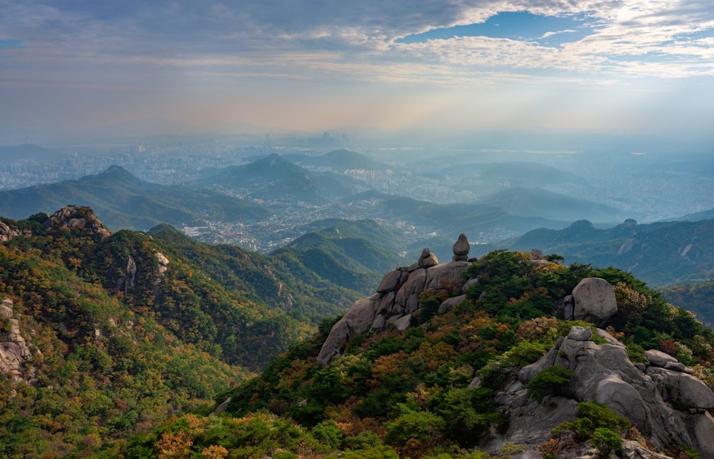

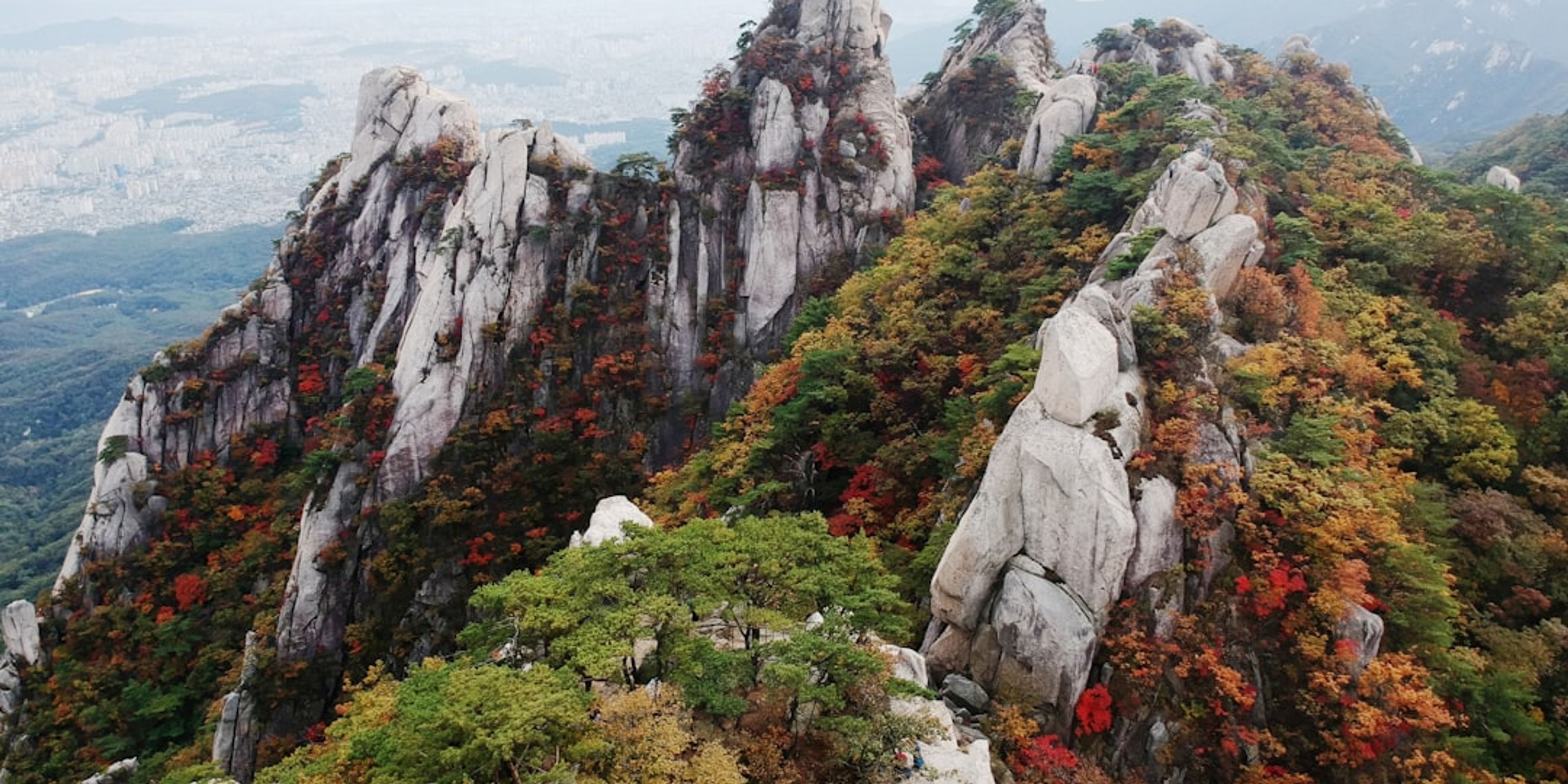
Baegundae Peak reaches 836.5 m, which makes it the highest point inside Seoul and the summit that anchors any list of the best hikes near Seoul. Bukhansan National Park was designated in 1983, is built from Jurassic granite domes, and absorbs roughly 5 million hikers a year - enough for a Guinness listing as the most visited national park per unit area on earth. From Bukhansan Ui Station, the route past Doseonsa Temple to the summit and back covers about 8 km with roughly 700 m of elevation gain and takes 4 to 6 hours at an honest pace. Difficulty: challenging.
The final 200 m is what people remember. The stone staircases run out and the trail crosses bare granite slab where fixed steel cables and iron railings are bolted straight into the rock. It is not technical climbing, but it is exposed, and in high season a queue forms at the bottleneck that can add an hour to your day. Entry to Bukhansan National Park is free in 2026. Gates open two hours before sunrise and close at sunset, and rangers do turn late starters back.
Pro Tip: Take the Ui-Sinseol Light Rail Line to Bukhansan Ui Station rather than Line 3 to Gupabal Station - the Gupabal approach needs bus 704 or 34 and adds close to 40 minutes each way. Be walking by 07:00 on a weekday and you will clear the cable section before the crowd arrives.
2Dobongsan and Jaunbong Peak - The Granite Scramble at the End of Line 1
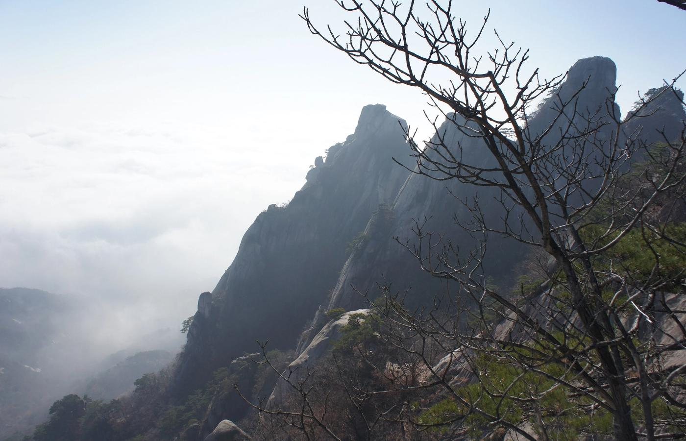

Dobongsan occupies the northern third of Bukhansan National Park and gives the Seoul hiking trails their most technical day out. Jaunbong, the high point, stands at 739.5 m, ringed by the granite towers of Shinseondae (730 m), Manjangbong (718 m) and Seoninbong (708 m). Those walls turned Dobongsan into the rock climbing centre of South Korea, and Seoninbong alone carries 37 established routes. From Dobongsan Station the out-and-back to Jaunbong runs about 8 km with 675 m of elevation gain over 4 to 5 hours. Difficulty: strenuous.
Most of the climb is sustained work on rock steps and steel staircases through pine forest, past Cheonchuksa and Mangwolsa temples. Near the top it turns to hand railings, chains and short ladders on granite blocks. The optional Obong ridge traverse beyond Jaunbong is genuine scrambling with real exposure and narrow gaps, and it jams solid on weekends when hikers queue at each railing. Park entry is free. Skip the ridge entirely if the rock is wet.
Pro Tip: Dobongsan Station sits on both Line 1 and Line 7, so check which line puts you at Exit 1 with fewer transfers - from Gangnam, Line 7 direct beats Line 1 via Cheongnyangni. Wear grippy gloves for the chain sections; the food street between the station and the park gate sells them for around 3,000 won.

3Bugaksan and the Seoul City Wall - The Ridge That Was Sealed for 39 Years
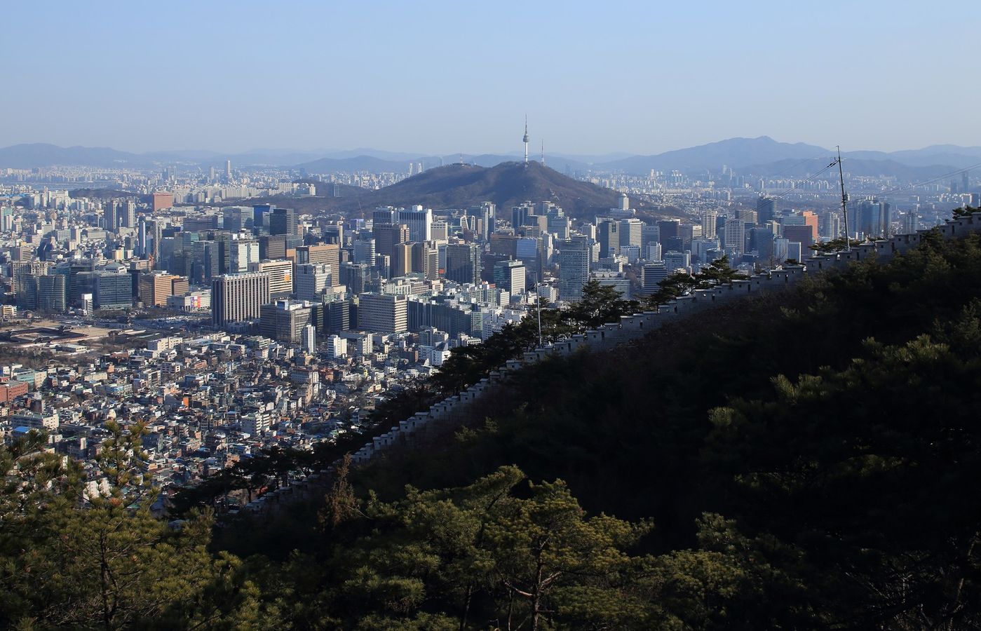

Bugaksan, also written Baegaksan, is the 342 m peak standing directly behind Cheongwadae, and it carries the strangest access history of any hike in South Korea. After a North Korean commando raid crossed this ridge in January 1968, the mountain was sealed as a military zone and stayed shut until 2007. It then reopened under a regime of identity checks and numbered badges worn on a lanyard, which is why older guidebooks tell you to bring a passport. Identity documents stopped being required in April 2019. In March 2026 the Presidential Security Service confirmed the mountain remains open 24 hours a day even after the presidential office moved back into Cheongwadae in December 2025.
The Seoul City Wall route from Changuimun Gate to Hyehwamun Gate covers 4.7 km with roughly 300 m of elevation gain and takes about 3 hours, almost all of it climbing restored Joseon fortress wall on stone and timber staircases. Difficulty: moderate. Six visitor information centres operate 09:00 to 18:00 daily. One southwestern spur toward Cheongun-dong is still restricted, and a new 1.32 km section is due to open in the second half of 2026. Bullet scars from the 1968 firefight are still visible on a pine near Sukjeongmun Gate.
Pro Tip: Walk it north to south from Changuimun Gate to Hyehwamun Gate and finish at Hansung University Station (Line 4, Exit 6) - that way the 1,100-odd steps are a climb rather than a knee-punishing descent, and you end in Seongbuk-dong rather than on a bus back over the pass.
4Inwangsan - The Biggest View for the Least Effort
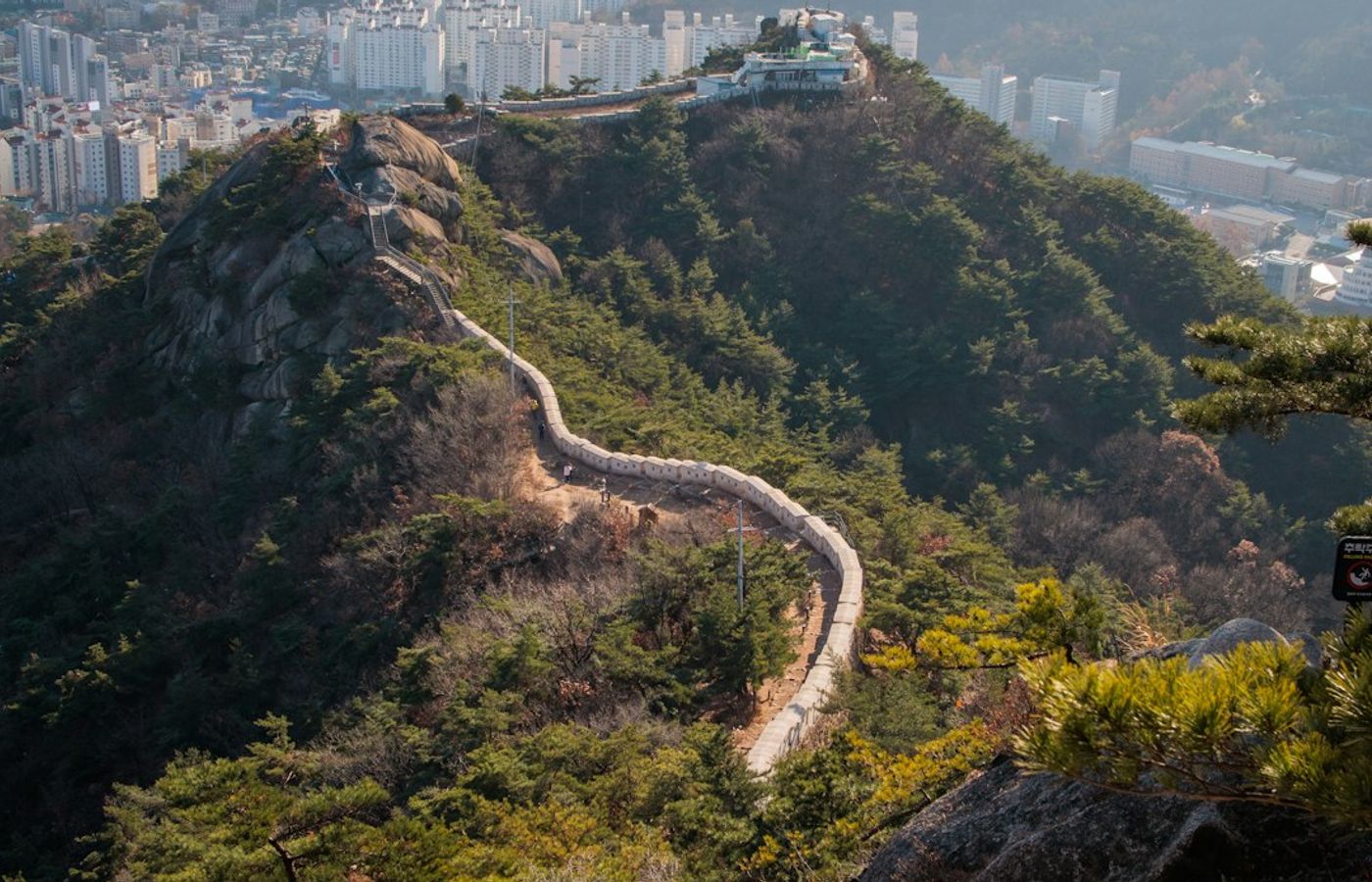
Inwangsan is 338 m of exposed granite on the western edge of the old walled city, and no other hike in Seoul returns this much view for this little effort. The official Inwangsan Mountain Trail along the Seoul City Wall measures 4.0 km and takes about 2 hours 30 minutes, with roughly 250 m of elevation gain from the Dongnimmun side. Difficulty: easy to moderate. There are no cables and no scrambling, but long flights of rock steps and a few slabby sections along the ridge make this a genuine climb rather than a park stroll, and the granite gets treacherous in the wet.
The trailhead sits beside Guksadang, the shamanist shrine moved here from Namsan under Japanese rule, and the path passes Seonbawi (Zen Rock) where people still leave rice and candles. From the summit ridge the whole city reads as a map: Gyeongbokgung and Cheongwadae below, Namsan and N Seoul Tower opposite, Bukhansan filling the northern skyline. The ridge is open 24 hours in 2026 and free, and the wall section connects onward to Bugaksan at Changuimun Gate if you want to link two of these hikes into one day.
Pro Tip: Go up for sunset rather than sunrise - Inwangsan faces east over the city, so the light lands on the skyline while you stand in shade. Bring a phone torch for the descent, because the rock steps below Guksadang are unlit and the stone is polished smooth.
5Achasan - The Sunrise Hike You Can Finish Before Breakfast
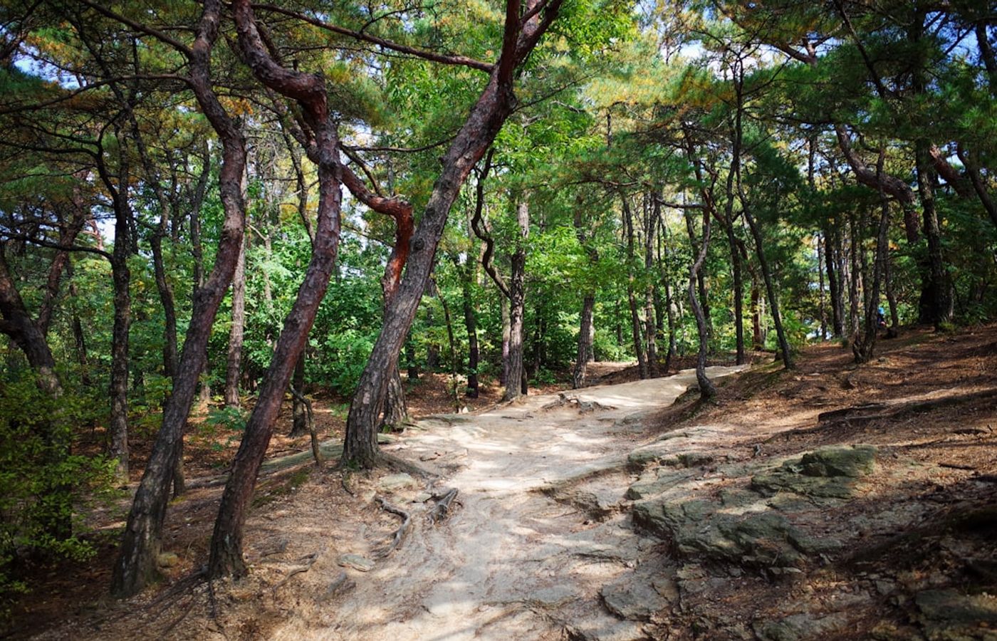
Achasan is only 295.7 m and that is precisely the appeal. This is the hike for your first jet-lagged morning in Seoul, or for the day after Baegundae when your legs are finished. From the Achasan Administrative Office trailhead the out-and-back to the summit and the Achasanseong fortress ruins covers about 4 km with 230 m of elevation gain in 1 hour 30 minutes to 2 hours. Difficulty: easy. Continue north along the ridge over Yongmasan (348 m) and descend to Yongmasan Station and you have a 6.5 km, 2 hour 30 minute traverse that never once feels hard.
The ridge looks straight down the Han River toward Guri and Hanam, which is why Achasan is the city's default sunrise mountain and why the summit deck is busy at 05:30 in summer. Achasanseong was a Baekje-era fortress, and low stone footings still run along the crest. Mid-route you choose between a short rock wall with good hand-holds or the graded Seoul Trail path through the trees. The Administrative Office has trail maps, toilets, a spring-water tap and a Seoul Trail stamp station.
Pro Tip: Achasan Station (Line 5, Exit 2) puts you at the trailhead, but finish at Yongmasan Station instead of doubling back - it is also on Line 5, so one T-money tap covers the whole loop with no extra fare. The first train on Line 5 runs from around 05:30, which is tight for a summer sunrise; on those mornings take the last train the night before and stay in Gwangjin-gu.

CEO and co-founder
Tomas is the co-founder and director of trip1, an European company specializing in reservation services. He launched the company in 2025 with a focus on building scalable, efficient operations.
Climate averages · 1991–2020
When is the best time to visit Seoul?
Monthly temperatures, rainfall and sunshine — not a live forecast.
See Seoul weatherMore of South Korea
5 Best Hikes Near Seoul - FAQ
Yes, comfortably, in four or five days. All 5 trailheads sit on the Seoul Metropolitan Subway, so you sleep in one place and commute out each morning. Pair the two short City Wall hikes, Bugaksan and Inwangsan, on a single day, then give Baegundae Peak and Dobongsan a full day each with a rest day between them. Achasan slots into any spare morning.
Start easy and build up. Do Achasan first to test your legs and the subway routine, then Inwangsan, then Bugaksan with the Seoul City Wall, then Baegundae Peak in Bukhansan National Park, and finish with Dobongsan, which is the most technical. Reversing this order means meeting granite cables on day one with unfamiliar footwear.
None of them. Bukhansan National Park and Dobongsan charge no entrance fee in 2026 and need no permit or reservation. Bugaksan dropped its identity-check and badge system in April 2019 and stayed open 24 hours through the presidential office returning to Cheongwadae in December 2025. Inwangsan and Achasan are simply open city mountains.
Budget about 20,000 won total in transport. Entry to every trail is free, including both national park sections. A T-money card costs roughly 2,500 to 4,000 won at any GS25, CU or 7-Eleven, the subway base fare is 1,500 won for the first 10 km, and transfers between subway and bus are free within 30 minutes. Ten trailhead journeys therefore land near 15,000 won, or about 10 EUR.
Late September through early November, and mid-April through May. The autumn foliage peak in Seoul falls between roughly 28 October and 12 November in 2026, which is spectacular and brutally crowded on Bukhansan. Spring brings cherry blossom in early April. Avoid the June to August monsoon, when humidity and afternoon downpours make granite slab genuinely dangerous, and expect ice on the rock from December to February.
Hike on a weekday. Korean hiking is a mass participation sport, and on weekends the trails fill with well-organised retiree groups in full technical kit, walking poles and all. Saturdays on Baegundae Peak can add an hour of queueing at the summit cables alone. A Tuesday or Wednesday start before 08:00 turns the same route into a quiet walk.
Several strong mountains did not make the 5. Gwanaksan (632 m) rises straight off Line 2 at Sadang or Seoul National University Station and is the best big hike in southern Seoul. Suraksan and Bulamsan in the northeast are quieter alternatives to Dobongsan, Cheonggyesan suits families, and Namsan with N Seoul Tower is a 30-minute walk rather than a hike.

Related travel guides
10 Top Places to Visit in Seoul, South Korea
The top places to visit in Seoul in 2026 - Gyeongbokgung, Bukchon Hanok, Myeongdong, N Seoul Tower, DMZ tour. Addresses, transit, Pro Tips.
10 Best Things to Do in Busan
The 10 best things to do in Busan, South Korea, with exact addresses, metro directions, KRW prices and Pro Tips for planning each day.