

Guides · Banff
10 Best Hikes in Banff National Park

CEO and co-founder
This guide ranks the 10 best hikes in Banff National Park - a deliberate spread that runs from a 90-minute summit you can walk to from Banff Avenue to a 915 m scree loop that will occupy a full day. Every entry gives trail distance in kilometres, elevation gain in metres, a realistic round-trip time and an honest difficulty rating, plus the exact trailhead car park address, the nearest Roam Transit stop or Parks Canada shuttle, and a Pro Tip based on how the trail actually behaves in 2026.
The list is ordered so you can build efficient days rather than criss-cross the park. The two Lake Louise teahouse routes sit side by side because they share one lakeshore trailhead. Sentinel Pass follows, since it runs on the same shuttle reservation system. Johnston Canyon, Sulphur Mountain and Tunnel Mountain cluster around the town of Banff and the Bow Valley Parkway, so they pair well with a short day or a late arrival. The final four - Cascade Amphitheatre, Cory Pass, Healy Pass and Helen Lake - are the quieter Banff hiking trails, where you trade a shuttle queue for a longer drive and far fewer people.
Two things shape a Banff day hike more than the trail itself. First, every visitor needs a Parks Canada pass at the gate: CAD 12.25 per adult per day or CAD 24.50 for a group of up to seven in a vehicle in 2026, with the annual Discovery Pass at CAD 83.50 per adult and worth buying beyond about seven days. Second, Moraine Lake and Lake Louise are now controlled by reservation systems rather than car parks. Add the late-September golden larch window, the snow that lingers on high passes into July, and the bear-safety group rules that are legally enforced on parts of this list, and planning matters here as much as fitness. Most people arrive through Calgary, an hour and a half east, and drive in rather than flying closer to the park. The high passes hold snow far later than the valley suggests and the larch window is only a fortnight wide, so check Banff weather in the week before you travel rather than trusting the season to behave. Where you sleep changes the day more than any other single decision, because an early start is what beats both the shuttle queues and the afternoon cloud; the hotels in Banff inside the townsite are the ones that make a six o'clock trailhead realistic.
1Plain of Six Glaciers - The Classic Lake Louise Teahouse Trail
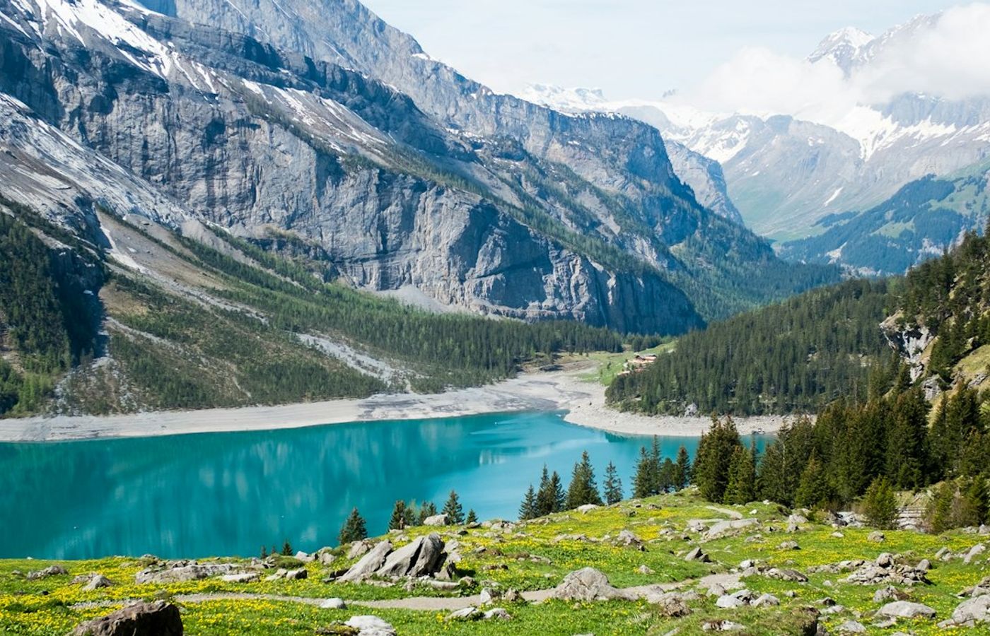

The Plain of Six Glaciers trail is the best single introduction to hiking in Banff, and the numbers suit most reasonably fit walkers: 11.6 km round trip with 595 m of elevation gain, typically 4 to 5 hours, rated moderate. The route leaves the Lake Louise lakeshore promenade, runs flat along the turquoise water for the first 2 km, then climbs through moraine rubble and old-growth Engelmann spruce into a rock amphitheatre ringed by Mount Lefroy, Mount Victoria and the Victoria Glacier. Ice fall off the hanging glaciers is audible from the upper section on warm afternoons.
The wooden teahouse at the 5.5 km mark has served hikers since 1927 and still runs with no electricity and no road access, supplied by horse and helicopter. Expect cash-only service, a 20 to 30 minute wait at midday in July and August, and soup or tea at roughly CAD 12 to 18 (about EUR 8 to 12) per item. Push the extra 1.1 km past the teahouse to the abandoned glacier viewpoint if your legs allow - it adds about 40 minutes and sheds most of the crowd. Check the Parks Canada Banff trail conditions report first, because the upper traverse holds snow into early July in many years.
Pro Tip: Standard vehicle parking at Lake Louise costs CAD 42 per day in 2026 and the lot regularly fills before 06:00. Take Roam Transit Route 8X from downtown Banff instead - CAD 12.50 each way, reservable in advance, and it stops at Lake Louise Lakeshore a few hundred metres from the trailhead.
2Lake Agnes Tea House - Short, Steep and Worth the Early Start

Lake Agnes shares its trailhead with the Plain of Six Glaciers but takes a shorter, sharper line: 7.8 km round trip, 495 m of elevation gain, 2.5 to 3.5 hours, moderate. Nearly all the climbing lands in the middle third, on switchbacks above Mirror Lake that gain roughly 300 m in barely 2 km. The payoff is a hanging-valley lake trapped between Mount Niblock and Mount Whyte, with a small log teahouse perched beside the outlet stream. It is the highest commercial teahouse in Canada and, in high season, the busiest 250 m of trail anywhere in Banff National Park.
Do not stop at the lake. A staircase behind the teahouse reaches the Little Beehive in about 25 minutes for a straight-down view over Lake Louise and the Bow Valley, and the Big Beehive adds a steeper 45-minute climb to a shelter on the rim. From the Big Beehive the Highline trail traverses across to the Plain of Six Glaciers, turning two separate Banff day hikes into one loop of roughly 14.5 km and 6 hours. The teahouse takes cash only and closes for the season in early October 2026.
Pro Tip: Reach the lakeshore before 07:30 and you climb the switchbacks in shade with maybe a dozen people ahead of you. By 10:00 the wait for a teahouse table routinely passes 40 minutes and the trail becomes single-file traffic in both directions.

3Sentinel Pass via Larch Valley - The Best Hard Day Hike in the Park


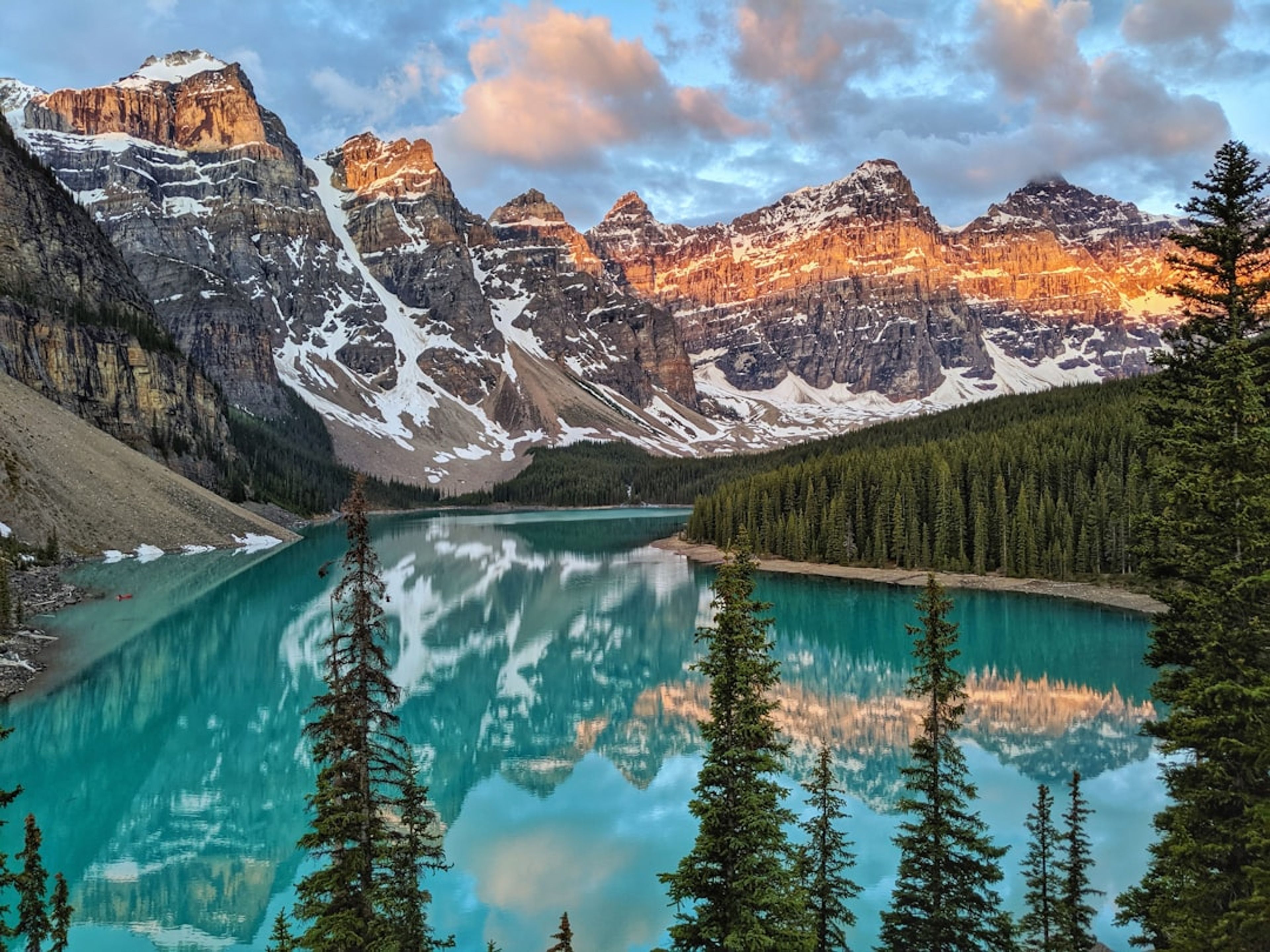
Sentinel Pass is the route people picture when they search for the best hikes in Banff National Park: 11.2 km round trip from Moraine Lake, 750 m of elevation gain, 5 to 6 hours, and difficult once you leave the meadow. The first 2.4 km climbs steady forested switchbacks, then the trail breaks into Larch Valley, an open bowl of alpine larch above the Minnestimma Lakes with the Valley of the Ten Peaks filling the skyline behind you. The final 400 m to the 2,611 m pass is loose scree on tight zigzags, exposed and slow, and it is where most walkers sensibly turn back.
Larch season is both the draw and the problem. The larches turn gold from roughly 18 September to 5 October, peaking near 25 September in most years, and that fortnight brings the heaviest hiking traffic Banff sees all year. Parks Canada also imposes a mandatory group access restriction here during grizzly berry season, commonly from early July to mid-September: parties of four or more people, no more than 3 metres apart, bear spray carried. Solo hikers and pairs get turned around by wardens, and fines under the Canada National Parks Act reach CAD 25,000, so find yourself a group at the shuttle stop if you arrive alone.
Pro Tip: Moraine Lake Road has been closed to private vehicles year-round since 2023, so the shuttle is the only way in. Bookings open 15 April 2026 at 08:00 MT, and 60 percent of tickets are released two days before travel at 08:00 MT - set an alarm for that second release if you miss the April window.
4Johnston Canyon and the Ink Pots - Waterfall Catwalks Into Open Meadow
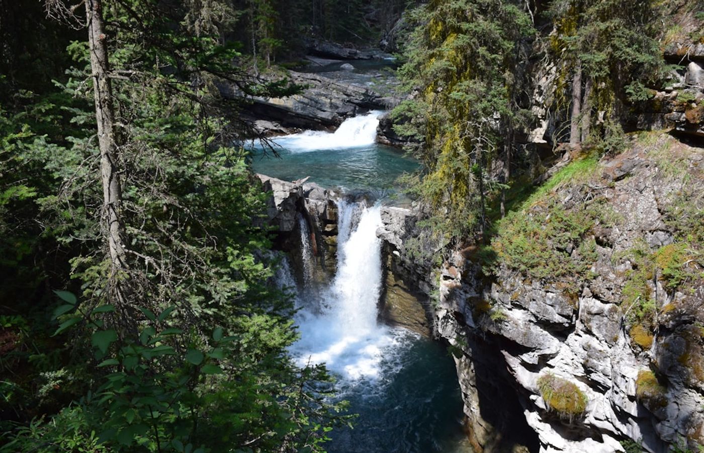
Johnston Canyon works as three hikes stacked on one trail. The Lower Falls sit 1.1 km in on steel catwalks bolted to the limestone gorge, an easy 2.2 km round trip suitable for almost anyone. The Upper Falls, a 30 m curtain dropping into a plunge pool, are 2.7 km in for a 5.4 km round trip. Continuing to the Ink Pots makes it a 10.7 km round trip with roughly 550 m of elevation gain, 3.5 to 5 hours, moderate - and that last stretch is where the character changes entirely, climbing out of the canyon into open meadow on the Johnston Creek flats.
The Ink Pots are seven cold mineral springs bubbling up through the meadow at a constant 4 degrees Celsius year-round, shading from milky blue-green to clear. Almost nobody who queues for the catwalks walks this far, so crowd density collapses past the Upper Falls. The canyon section is popular enough that Parks Canada meters the day use car park, and the Bow Valley Parkway west of Johnston Canyon carries seasonal travel restrictions to protect wildlife, so confirm access before you drive out in 2026.
Pro Tip: Roam Transit Route 9 runs Banff to Johnston Canyon in summer 2026 for about CAD 6 each way, which removes the car park problem completely. If you do drive, arrive before 08:00 or after 16:00 - between 10:00 and 15:00 in July and August the lot is a queue rather than a car park.
5Sulphur Mountain - Twenty-Eight Switchbacks Above the Town of Banff
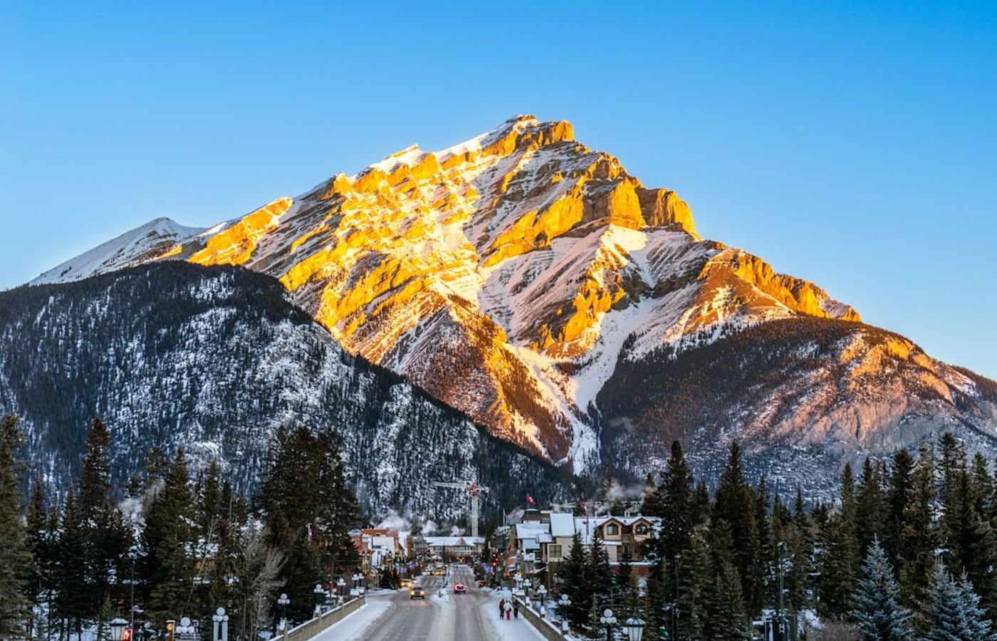
Sulphur Mountain is the fitness test every Banff local uses, and it is honest about what it asks: 10.1 km round trip, 744 m of elevation gain, 4 to 5.5 hours, moderate but relentless. The trail leaves the Banff Upper Hot Springs car park and climbs 28 numbered switchbacks through dense forest with almost no view until the final bends. At the 2,281 m summit you arrive at the Banff Gondola upper terminal, and from there a 1 km boardwalk runs the ridge to Sanson's Peak and the Cosmic Ray Station, a National Historic Site that recorded data from 1956 to 1978.
For the effort involved the views are the widest in the area: the Bow Valley, Mount Rundle, Cascade Mountain, Lake Minnewanka and the town of Banff spread out 700 m below. Walking up and riding the gondola down is the standard local move, at roughly CAD 30 to 40 (about EUR 20 to 27) for a one-way descent in 2026, subject to same-day availability. The trail is usually snow-free from late May to mid-October, and it is one of the few Banff hiking trails that stays viable in shoulder season with microspikes.
Pro Tip: Roam Transit Route 1 runs from Banff Avenue to the Upper Hot Springs for CAD 2, so leave the car in town. Buy the downhill gondola seat before you start climbing - on busy afternoons the one-way descent sells out and you walk back down 5 km on tired legs.
6Tunnel Mountain - The Easiest Real Summit in Banff National Park
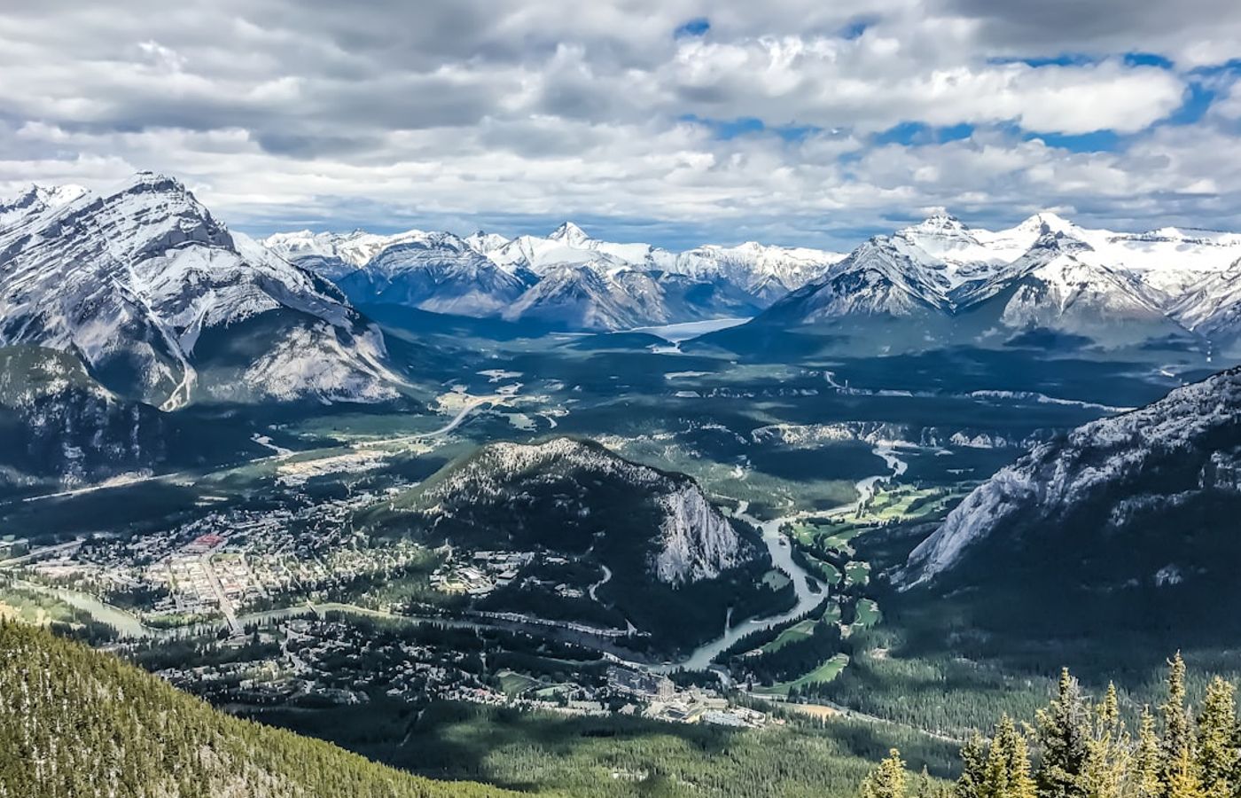
Tunnel Mountain is the shortest genuine summit in the park: 4.8 km round trip, 260 m of elevation gain, 1 to 2 hours, easy. The trail starts on St Julien Road, a 15-minute walk from Banff Avenue, and climbs wide, well-graded switchbacks through Douglas fir to a 1,692 m top with an open ledge above the Bow River. There is no scrambling, no exposure and no route-finding, which makes it the right first hike for anyone acclimatising to altitude, walking with children, or filling a half day after a late arrival in the town of Banff.
The Blackfoot name for the mountain is Iinii Istako, or Sleeping Buffalo. The current name comes from an 1880s Canadian Pacific Railway survey that proposed blasting a rail tunnel straight through the rock, a plan that was abandoned but stuck to the map anyway. Sunrise and sunset both work well from the summit ledge, and because the trail is short and close to town it is realistic to walk it in low light, unlike most Banff day hikes. Winter ascents with microspikes are common, though the upper switchbacks glaze over.
Pro Tip: The lower car park on St Julien Road is now paid - around CAD 12 for one hour and CAD 50 for a full day in 2026. Walk from town instead, or take Roam Transit Route 2 and start from the roughly ten free spaces at the upper trailhead on Tunnel Mountain Drive.
7Cascade Amphitheatre - A Hanging Cirque Behind Banff's Signature Peak
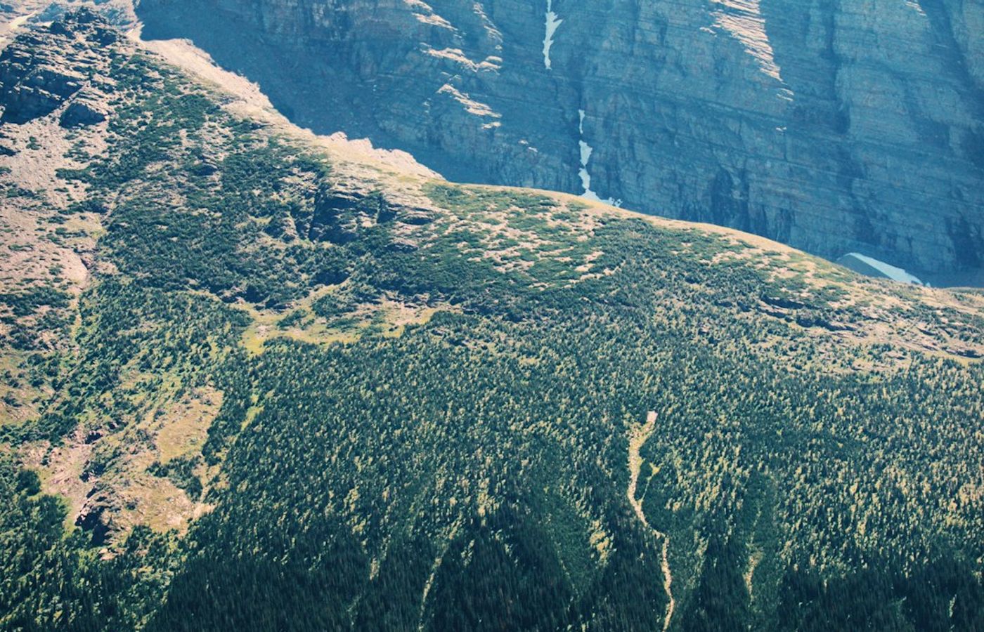
Cascade Amphitheatre hides directly behind Cascade Mountain, the peak that closes the view straight up Banff Avenue, and hardly any visitor walks into it. The trail is 15.4 km round trip with 640 to 965 m of elevation gain depending on the line you take, 6 to 7 hours, and it is difficult mainly through length rather than technique. It starts at the Mt. Norquay ski area, drops about 100 m through the ski runs, crosses Forty Mile Creek, then climbs steadily through forest before opening into a glacial cirque of boulder fields, meltwater braids and wildflower meadow beneath a 700 m headwall.
The amphitheatre floor sits near 2,150 m and holds snow patches into July in most years. Bighorn sheep and hoary marmots are common in the bowl, and this is prime grizzly habitat, so carry bear spray and make noise on the forested approach. Strong scramblers use the cirque as the launch point for the 2,998 m summit of Cascade Mountain, but that is a serious mountaineering objective with a fatal accident record, not an extension of a day hike. Stop at the amphitheatre.
Pro Tip: There is no public transit up Mt Norquay Road, so this is a driving day - allow 15 minutes on the six switchbacks from Banff. Start by 08:00, because the return leg finishes with that 100 m climb back up the ski runs, which is a mean sting after 14 km.
8Cory Pass Loop - The Hardest Day Hike Near the Banff Townsite
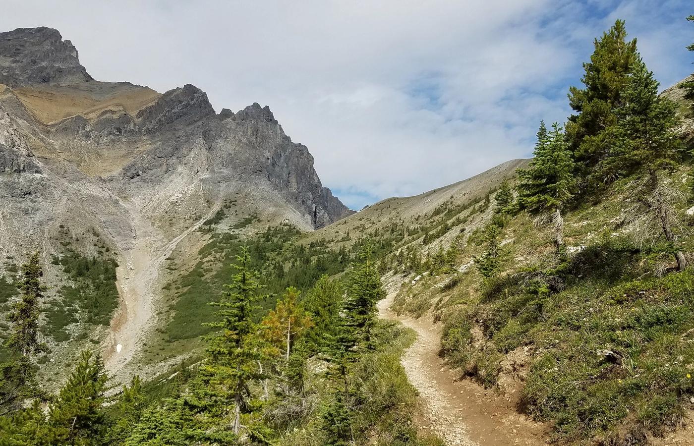
The Cory Pass Loop is the toughest maintained day hike within 20 minutes of Banff: a 13 km loop with 915 m of elevation gain, 6 to 8 hours, and genuinely difficult. From the Fireside day use area the trail attacks a dry, south-facing slope with no water and no shade, gaining most of its height in the first 5.5 km. Cory Pass itself is a narrow notch at roughly 2,350 m squeezed between Mount Edith and Mount Cory, with the limestone fin of Mount Louis standing straight up across Gargoyle Valley.
The descent into Gargoyle Valley and out via Edith Pass is the section people underestimate: loose scree, a steep gully that holds snow until late July, and 7.5 km of rough ground back to the car park. Walk it in the direction described, which puts the sustained climb on the ascent and the awkward footing on the way down. There is no mobile coverage for most of the loop. This is the one route on this list where turning back is a reasonable outcome, and where trekking poles genuinely change the day.
Pro Tip: Fill two litres of water per person before leaving Banff - there is no reliable source until Gargoyle Valley at about 8 km. Check the Bow Valley Parkway travel restrictions for 2026 before you drive, since seasonal cycling and wildlife closures can affect access to the Fireside trailhead.
9Healy Pass - The Quiet Larch Alternative to Larch Valley
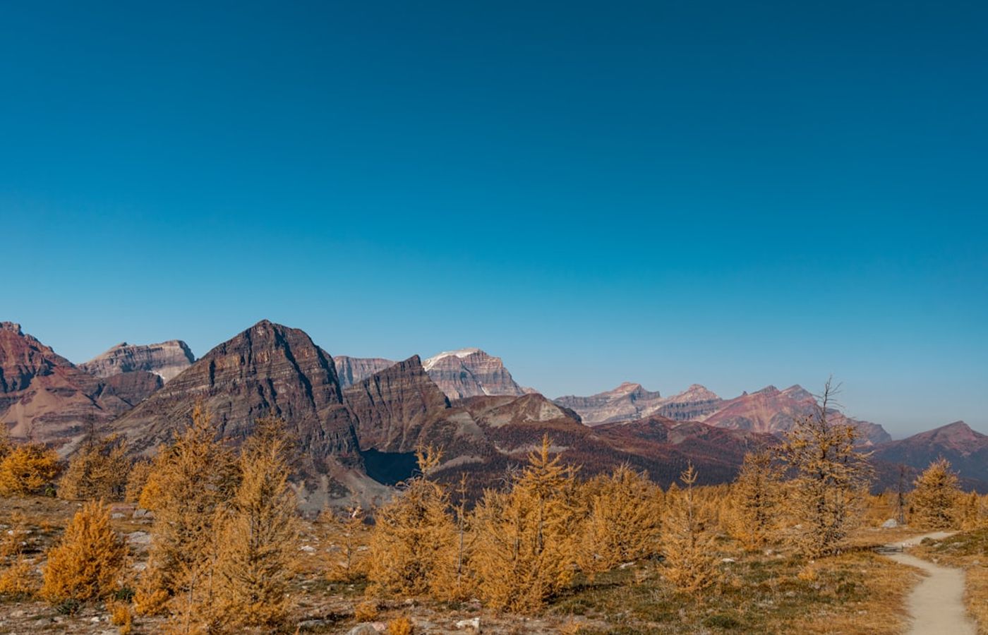
Healy Pass delivers what people queue for at Larch Valley, without the shuttle system: 18.4 to 20.9 km round trip depending on the return you choose, 655 to 705 m of elevation gain, 6 to 8 hours, difficult mostly because of the distance. The trail leaves the Sunshine Village base car park at about 1,700 m, follows Healy Creek through forest for 5 km, then opens into a broad larch and wildflower basin below the pass. At the 2,330 m crest you stand on the Continental Divide, with the Massive Range behind you and the Monarch, Egypt Lake and the Pharaoh Peaks laid out ahead.
Late September gives golden larch on both sides of the pass and a fraction of the Moraine Lake crowd. Mid-July to early August gives the best wildflower display in Banff National Park, with paintbrush, western anemone and heather across the whole upper basin. The trail commonly holds snow above 2,100 m into early July, and the Parks Canada trail report has flagged fresh snow at the pass as early as the end of August. Carry insulation and a shell whatever the forecast says in town.
Pro Tip: Parking at the Sunshine base is free but the lot fills by about 08:30 on September weekends. The Sunshine gondola does not shortcut this hike, since the trail starts at the base car park rather than the top, so there is no way to trim the distance. Budget the whole day.
10Helen Lake - Alpine Meadows and Marmots on the Icefields Parkway
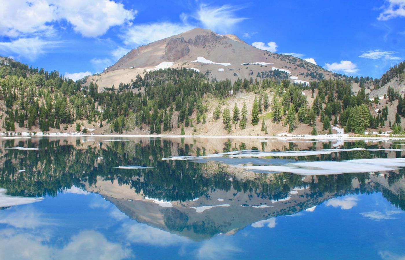
Helen Lake is the easiest way to stand in genuine high alpine terrain in Banff National Park: 11.8 km round trip, 530 m of elevation gain, 4 to 5 hours, moderate. The trailhead sits on the Icefields Parkway roughly 33 km north of Lake Louise village, directly across the road from the Crowfoot Glacier viewpoint. Because the highway is already at about 1,950 m, the trail climbs out of the trees within 2.5 km and spends most of its length in open meadow, traversing a hillside high above Bow Lake with Crowfoot Mountain and the Waputik Icefield in constant view.
The lake itself lies in a shallow bowl near 2,400 m beneath Cirque Peak, with hoary marmots and pikas all over the surrounding boulder fields. Strong hikers add another 1.5 km and 250 m of climbing to reach the Dolomite Pass col and the view down to Katherine Lake. Treat this as a July to mid-September trail: the meadow traverse is a snow slope until late June, and the Icefields Parkway has no services for long stretches, so fuel up in Lake Louise village and carry everything you need.
Pro Tip: Drive north early and the meadow is yours until about 11:00, when Jasper day-trip traffic starts filling the roadside lot. There is no mobile signal at the trailhead, so download offline maps in Lake Louise village before you turn onto Highway 93 North.
Get hotel deals for Banff
Price drops, new stays and local tips for Banff, straight to your inbox.
No spam, unsubscribe anytime.

CEO and co-founder
Tomas is the co-founder and director of trip1, an European company specializing in reservation services. He launched the company in 2025 with a focus on building scalable, efficient operations.
10 Best Hikes in Banff National Park - FAQ
Sentinel Pass via Larch Valley is the best hard day hike, 11.2 km return from Moraine Lake with 750 m of climbing. The Plain of Six Glaciers and Lake Agnes Tea House trails at Lake Louise are the classics. For quieter trails, try Healy Pass, Helen Lake on the Icefields Parkway or Cascade Amphitheatre behind Banff's signature peak.
Tunnel Mountain is the easiest real summit: 4.8 km return with 260 m of climbing, 1 to 2 hours, starting a 15-minute walk from Banff Avenue. Johnston Canyon's catwalks reach the Lower Falls in 1.1 km and the Upper Falls in 2.7 km. Lake Agnes is a short but steep 7.8 km return from Lake Louise, with a teahouse at the top.
Mid-July to mid-September. High passes such as Sentinel Pass, Healy Pass and Helen Lake hold snow until early or mid-July. The golden larches turn from roughly 18 September to early October, the most beautiful and most crowded time. Tunnel Mountain and Sulphur Mountain are usually walkable from late May to mid-October, and with microspikes in shoulder season.
You need a Parks Canada pass: CAD 12.25 per adult per day, or CAD 24.50 for up to seven people in one vehicle, in 2026; under-18s are free. Moraine Lake Road is closed to private cars, so Sentinel Pass needs a shuttle seat, which opened for booking on 15 April in 2026. Lake Louise needs a CAD 42 parking space or a Roam Transit 8X ticket.
Yes, carry it and know how to use it. Banff's trails cross grizzly and black bear habitat. In berry season, usually early July to mid-September, Parks Canada requires groups of four or more, walking no more than 3 metres apart, in Larch Valley and on Sentinel Pass. Fines reach CAD 25,000. Check the Parks Canada trail report before you set out.