

Guides · Vancouver
5 Best Waterfall Hikes Near Vancouver

CEO and co-founder
This guide ranks the 5 best waterfall hikes near Vancouver - the trails that actually walk you to falling water instead of parking you at a highway pull-off. Every one of the five entries below gives you the trail distance in kilometres, the elevation gain in metres, a realistic round-trip time, a difficulty rating and the height of the waterfall itself, plus the exact trailhead address with postal code, what public transit can and cannot do for you, and the driving distance from downtown Vancouver.
We have ordered the list by drive time and effort so you can build a sensible weekend around it. Two of the hikes sit in the Squamish area along Highway 99, the Sea to Sky Highway, and need 60 to 105 minutes behind the wheel each way. The other three are North Shore trails inside Lynn Headwaters Regional Park, Lynn Canyon Park and the Mount Fromme area, all within 30 minutes of downtown Vancouver. The range runs from a 335 m giant with an advanced 918 m climb attached to it, down to a 1.5 km canyon loop you can finish before lunch.
Settle the car question before you commit to a day. The three North Shore waterfall trails are genuinely reachable using the SeaBus plus a North Vancouver bus and a walk, and Lynn Canyon Park throws in a free suspension bridge. The Sea to Sky waterfalls are a different story: there is still no scheduled public bus up to Squamish in 2026, so those two need a vehicle. Every entry closes with a Pro Tip covering parking, timing or gear, and none of these five trailheads charges an entry fee in 2026. The SeaBus is the hinge of the whole plan, so the hotels in Vancouver around the downtown waterfront put the first three trails within an hour of the door. Trail conditions here turn on rainfall far more than on the calendar, so check Vancouver weather in the days before rather than the season. Anyone continuing inland usually pairs this with Banff, which is a long but spectacular drive east.
1Shannon Falls and the Sea to Summit Trail - The Tallest Waterfall Hike Near Vancouver
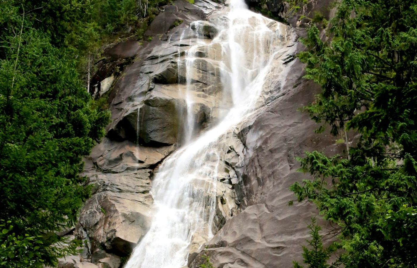

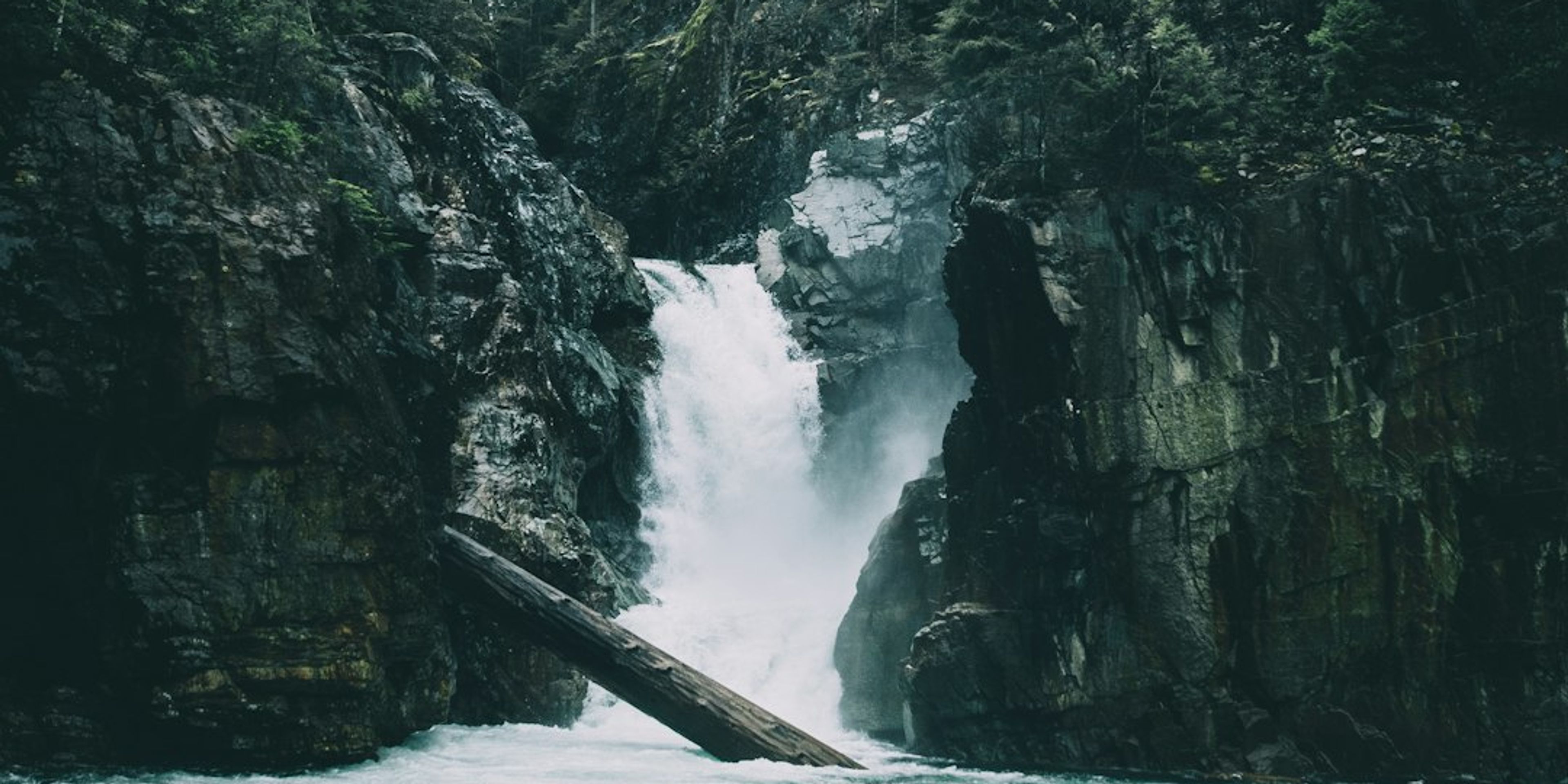
Shannon Falls drops 335 m off the granite wall above Highway 99, which makes it the third highest waterfall in British Columbia and puts it on any shortlist of the best waterfalls British Columbia can show a visitor. Reaching the base viewing platform takes only a 350 m walk on packed gravel from the car park, so treat that stretch as the warm-up rather than the hike.
The hike proper is the Sea to Summit Trail, which climbs 918 m over 6.5 km from the Sea to Sky Gondola base at 35 m elevation to the summit lodge at 885 m. Reckon on 3 to 5 hours up plus the gondola ride down, and difficulty is advanced: fixed ropes, exposed granite bluffs, root staircases and 128 numbered green markers to tick off. It is signed as an up-only route, so do not plan to descend it. Shannon Falls Provincial Park covers 87 hectares, charges no entry fee and needs no BC Parks day-use pass in 2026. The gondola download ticket costs CAD 25 at the summit gift shop or CAD 20 (about EUR 13) bought online, and under-12s ride free with an adult.
Pro Tip: Use the Shannon Falls Provincial Park lot about 500 m south of the gondola base rather than the gondola lot, and be in it before 9 am on any summer weekend - both fill early and the Highway 99 shoulder is not a legal alternative. Buy the CAD 20 download ticket online before you start climbing, because mobile signal drops out for most of the Sea to Summit Trail.
2Norvan Falls - The Classic 14 km Forest Walk in Lynn Headwaters Regional Park
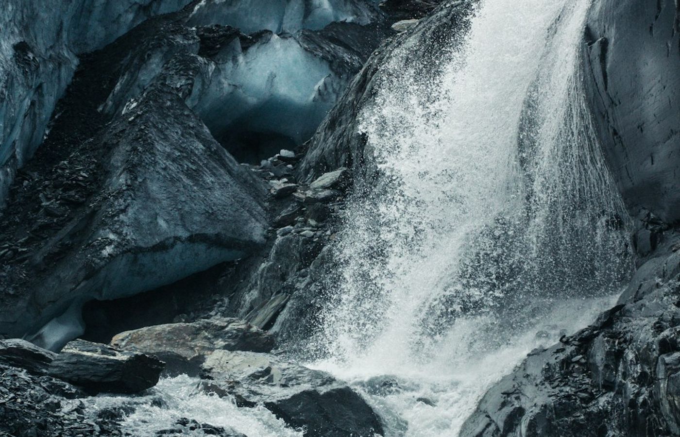

Norvan Falls is the benchmark for hiking near Vancouver: 14 km return, only 195 m of elevation gain, and 3.5 to 5 hours of walking under second-growth Douglas fir alongside Lynn Creek. The intermediate rating is fair, but the numbers undersell the second half, which is a rock-and-root staircase rather than a groomed path. The falls themselves are a single plunge of roughly 30 m into a shallow bowl on Norvan Creek, viewed from a wooden footbridge that doubles as the turnaround point.
Lynn Headwaters Regional Park is the largest regional park in Metro Vancouver at 3,730 hectares, it charges nothing to enter or park, and no day-use pass applies. Sign the hiker registration box at the yellow gate on the way in and again on the way out, because Metro Vancouver Regional Parks staff use it to account for people at closing time. May and June are the strongest weeks of the year here, when snowmelt off Coliseum Mountain roughly doubles the volume coming over the lip.
Pro Tip: Arrive before 8:30 am on a May or June weekend. The main Lynn Headwaters lot is full by 9 am and the overflow lot sits 500 m back down Lynn Valley Road, which adds a kilometre to an already 14 km day. From November to March carry microspikes: the trail hugs Lynn Creek and glazes over in shade long after the rest of the North Shore has thawed.

3Kennedy Falls and the Big Cedar - Old-Growth and Deep Mud on Mount Fromme
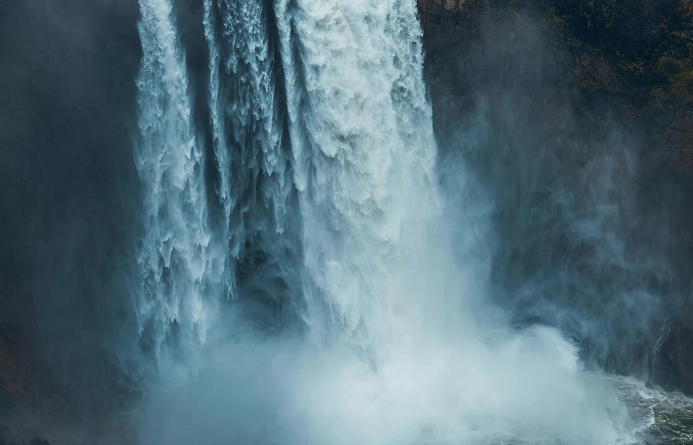

Ten kilometres return with only 150 m of elevation gain sounds gentle on paper. Kennedy Falls is not. Budget 5 to 6 hours for the round trip from the Mount Fromme parking lot on Mountain Highway, because the trail is a rugged obstacle course of exposed roots, ankle-deep mud, slippery creek crossings and blowdown you climb over or crawl under. Difficulty reads moderate in the guidebooks and feels harder than that underfoot. Start from a lower street-parking spot and the gain climbs to about 300 m.
Two payoffs sit at the far end. The first is an old-growth western red cedar roughly 600 years old with younger trees growing straight out of its trunk; erosion is now undercutting it, so stay well back from the base. The second is Kennedy Falls, a tiered cascade of roughly 30 m dropping into a rock amphitheatre on Kennedy Creek that almost nobody else is looking at on a weekday. There is no fee, no gate and no day-use pass, and the only facilities are the outhouses at the trailhead.
Pro Tip: Wear boots you are willing to write off and pack spare socks in a dry bag, because the mud between the halfway mark and Kennedy Creek does not drain even in August. Check for seasonal closures before you drive up: the District of North Vancouver has shut this trail in early November for hazard-tree removal after the Hemlock Looper outbreak.
4High Falls Creek - The Steep Box Canyon Hike in the Upper Squamish Valley
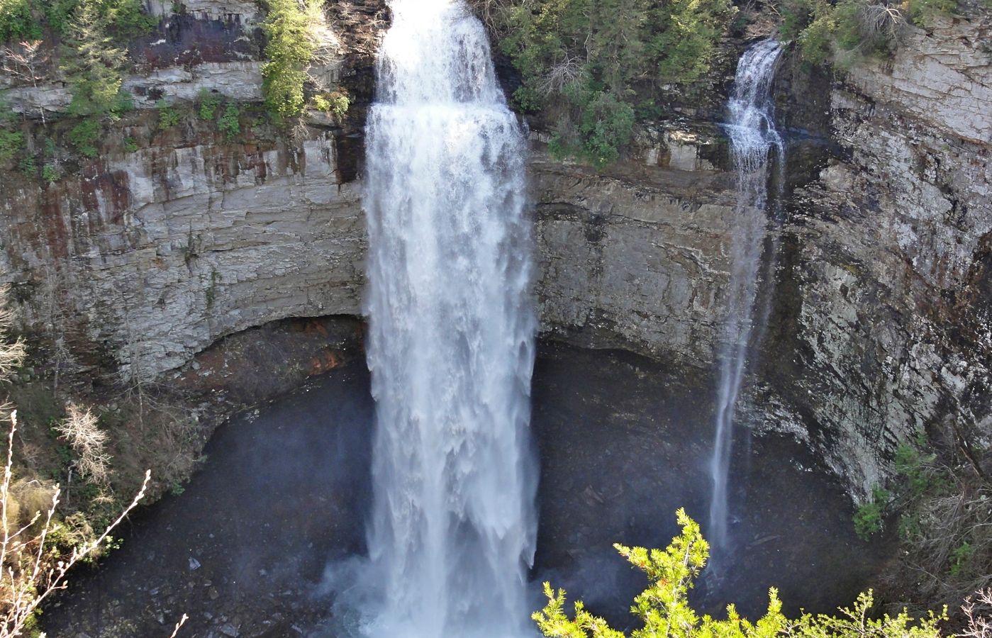
High Falls Creek is the hardest of these Vancouver waterfall trails and the one that most repays a full day. The standard route is an 8.3 km loop with 525 m of elevation gain, most of it packed into the first 4 km of climbing, and it takes 3.5 to 5 hours. Difficulty is challenging: expect hand-and-foot scrambling on granite slabs, fixed ropes in two places, and unfenced cliff edges directly above the canyon where experienced hikers have died.
The creek falls through a tight box canyon in two distinct sections, roughly 60 m of falling water in total, with a boulder wedged between the granite walls that is the photograph everyone drives up here for. Above the canyon the trail breaks onto open bluffs with views across the Squamish River to the Tantalus Range. Almost everyone descends the gravel logging road rather than reversing the canyon, which is the sensible call. The season runs April to November, and the Squamish River Forest Service Road approach is bumpy gravel but fine in a two-wheel-drive car.
Pro Tip: Do this one in late May or early June, when snowmelt has the canyon roaring but the trail above 400 m is already dry. Go up the canyon and down the logging road, never the reverse. Leave the dog at home - there are two scrambling sections with a long drop on one side and no rail - and note there are no toilets and no water at the trailhead.
5Twin Falls and the Lynn Canyon Suspension Bridge - The Free Short Loop
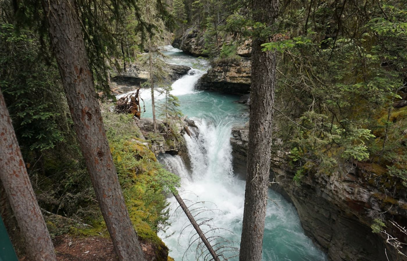
This is the one entry you can finish inside an hour. The Twin Falls loop is 1.5 km round-trip with 65 m of elevation gain, rated easy, and walkable year-round. It starts from the Lynn Canyon Ecology Centre car park and crosses the Lynn Canyon Suspension Bridge, built in 1912 and slung about 50 m above Lynn Creek. That bridge is free, which makes Lynn Canyon Park the obvious substitute for the paid Capilano Suspension Bridge about 6 km west.
From the bridge the Baden Powell Trail drops by stairs and switchbacks to a wooden viewing bridge over Twin Falls, a pair of drops of roughly 10 m each squeezed into a narrow slot of dark rock. Do not swim here under any circumstances: the pools carry undercurrents and Lynn Canyon has a fatality record that the warning signs do not overstate. Extend the walk to the 30 Foot Pool for a 3.5 km version if you want more, and use the washrooms at the Ecology Centre, which are the only ones in the park.
Pro Tip: Park on Peters Road and walk in rather than circling the Ecology Centre lot, which is full by 10 am from June to September. Better still, come at 8 am on a May weekday: you get the suspension bridge and the falls to yourself with the creek at full snowmelt volume, and the light in the canyon is at its best before the sun clears the rim.
Get hotel deals for Vancouver
Price drops, new stays and local tips for Vancouver, straight to your inbox.
No spam, unsubscribe anytime.

CEO and co-founder
Tomas is the co-founder and director of trip1, an European company specializing in reservation services. He launched the company in 2025 with a focus on building scalable, efficient operations.
5 Best Waterfall Hikes Near Vancouver - FAQ
Shannon Falls is the big one: 335 m high, the third highest in British Columbia, and a 350 m walk from the car park near Squamish. On the North Shore, within 30 minutes of downtown, Norvan Falls, Kennedy Falls and Twin Falls in Lynn Canyon Park are true hikes. High Falls Creek above the Squamish River is the hardest, and Brandywine Falls, 70 m, is a short walk off Highway 99.
Yes, and it is free. The falls drop 335 m off the granite wall above Highway 99, and the base viewing platform is an easy 350 m walk on packed gravel, so it suits almost everyone. Shannon Falls Provincial Park needs no BC Parks day-use pass in 2026. On summer weekends, be in the park car park before 9am, because the highway shoulder is not a legal place to park.
Easy to the falls, hard above them. The walk to the base viewpoint is 350 m on packed gravel. The Sea to Summit Trail beside it is advanced: 6.5 km and 918 m of climbing to the gondola summit lodge, with fixed ropes, exposed granite and root staircases, taking 3 to 5 hours. It is up only, so ride the gondola down: CAD 20 online, CAD 25 at the summit.
No. It is a short, easy walk of about 1 km, 10 to 20 minutes each way, across a covered footbridge and through forest to a viewing platform above the 70 m falls on the edge of a volcanic cliff. A short path continues to a second viewpoint over Daisy Lake and the Black Tusk. The park sits off Highway 99 between Squamish and Whistler, so go by car.
14 km return, with only 195 m of elevation gain, taking 3.5 to 5 hours through forest beside Lynn Creek in Lynn Headwaters Regional Park. The second half is a rock-and-root staircase, so it rates intermediate. Entry and parking are free; sign the hiker registration box at the yellow gate on the way in and out. May and June bring the strongest flow, and from November to March carry microspikes.
The North Shore ones, yes. Twin Falls, Norvan Falls and Kennedy Falls are reachable by the SeaBus to Lonsdale Quay, a North Vancouver bus and a walk. The Sea to Sky waterfalls are another matter: no public transit bus links Vancouver with Squamish, and the gravel road to High Falls Creek has no bus at all, so plan on a car for Shannon Falls and High Falls Creek.