

Guides · Quebec City
5 Best Fall Foliage Drives Near Quebec City

CEO and co-founder
This guide covers the 5 best fall foliage drives near Quebec City, each one a defined route rather than a vague direction, with the road numbers, distances, key stops with exact addresses, 2026 park fees in Canadian dollars, and the specific week that route is forecast to peak. That last point is what makes the list usable: Bonjour Quebec's 2026 forecast puts Quebec City and its surroundings at the first week of October and Charlevoix at the second, so a well-sequenced week catches two peaks rather than one.
We have ordered the list by colour quality rather than by convenience, which means the two Charlevoix routes come first even though they are the furthest out. If you are sequencing a trip instead, run it the other way: Ile d'Orleans, the Cote-de-Beaupre and Parc national de la Jacques-Cartier in the first week of October, then Route 362 and Route 381 in the second week as the colour moves north-east.
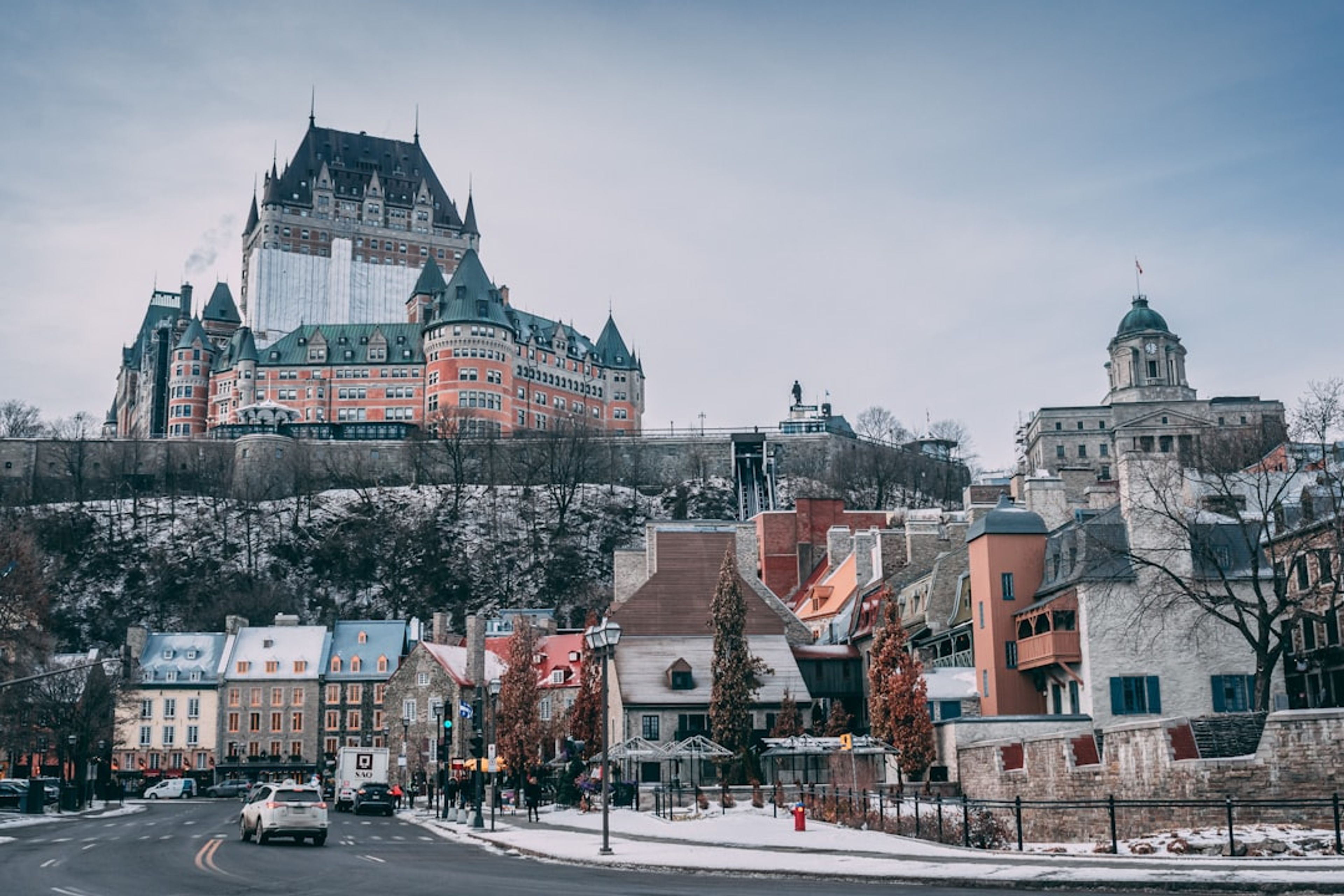
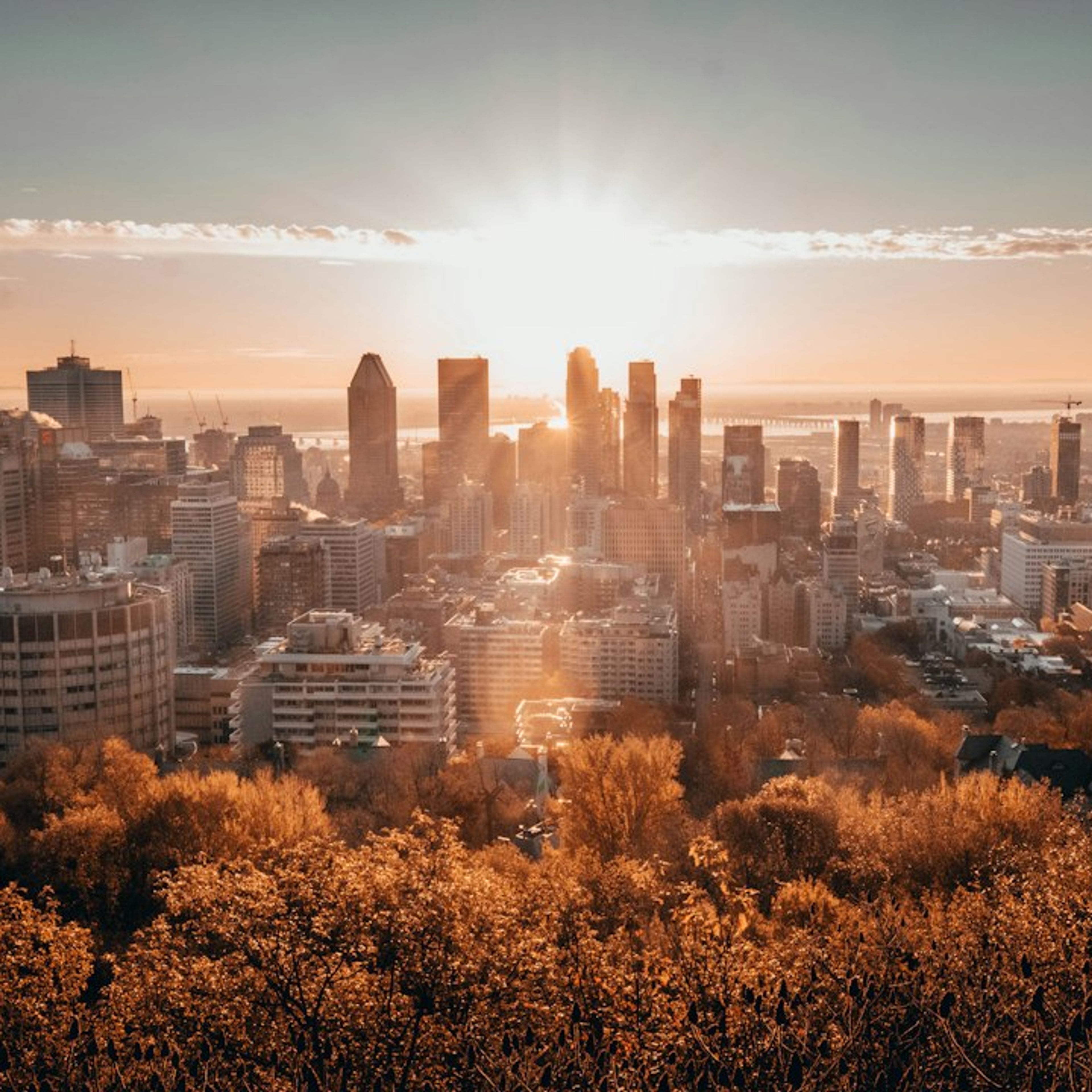
Three practical warnings. A rental car is effectively required, since none of the five is served by useful scheduled transit. Canadian Thanksgiving falls on Monday 12 October 2026, which means the Charlevoix peak lands exactly on the busiest driving weekend of the season, 10 to 12 October. And two of the best lookouts shut before that weekend is over: the Mont-Sainte-Anne gondola closes on 11 October and Le Massif's on 12 October. The city averages 11 degrees by day and 2 by night in October, with about 99 mm of rain and 2 cm of snow, so pack for both. Early departures are what beat the leaf-peeping traffic on every one of these drives, and the hotels in Quebec City inside or just below the walls put you on the bridge before the queues form. Colour timing moves by a week or more year to year, so check Quebec City weather in the fortnight before rather than booking to the historical average. Visitors extending the trip usually add Montreal, which is under three hours west.
1Route 362, Baie-Saint-Paul to La Malbaie - The Route du Fleuve
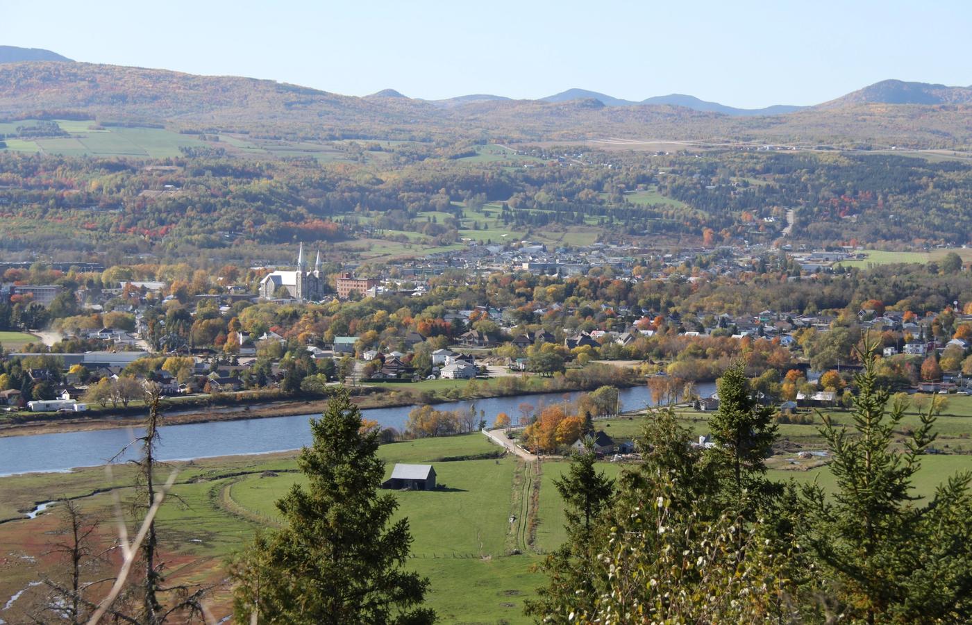

Route 362 is the best of the five for colour set against water. It runs 50 km from Baie-Saint-Paul to La Malbaie on two paved lanes, through Saint-Joseph-de-la-Rive, Les Eboulements and Saint-Irenee, with the St Lawrence widening below you almost the whole way. Allow half a day rather than the 1 hour 15 the distance suggests. Peak colour here is forecast for the second week of October 2026, a week later than Quebec City itself.
The stop to build in is Le Massif de Charlevoix at 1350 rue Principale, Petite-Riviere-Saint-Francois, QC G0A 2L0, whose gondola runs daily 10:00 to 16:00 with last departure at 15:30, at 33 dollars for adults, 24 for ages 13 to 17 and 17 for 7 to 12, with under-sixes free. It is cashless. The season ends on 12 October 2026, which is Thanksgiving Monday, so the final day of operation is also the single busiest day of Charlevoix's peak week.
Two honest downsides. The descent from Les Eboulements to Saint-Joseph-de-la-Rive is a steep, tight grade with a truck-restriction history, and it is a poor choice in a large motorhome. And on Thanksgiving weekend the road backs up behind slow traffic with few passing opportunities, while restaurants in La Malbaie and Baie-Saint-Paul run full. Book a table before you leave.
Pro Tip: Drive Route 362 north-east, from Baie-Saint-Paul toward La Malbaie, so the river is on your right and every lookout is a right turn off the road rather than a left across traffic. Go on the Tuesday or Wednesday after Thanksgiving, when the colour holds and the weekend traffic has gone.
2Route 381 to Parc national des Grands-Jardins - The Earliest Peak Near the City
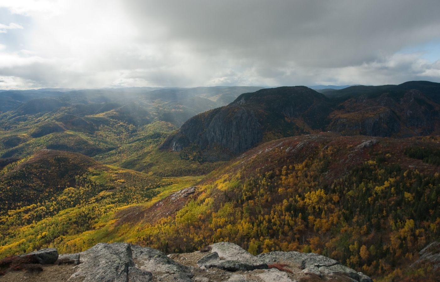

Route 381 climbs out of Baie-Saint-Paul into the Laurentian highlands and delivers something none of the other four can: taiga and boreal transition, black spruce and lichen against birch and maple, at altitude. Because it is high and cold, it turns earlier than the Charlevoix shoreline, which makes it the answer for anyone arriving in the last week of September when the coast is still green. Daily access to Parc national des Grands-Jardins costs 10.30 dollars per adult in 2026 with under-18s free, and Sepaq asks you to buy it online before arrival.
The signature walk is the Mont-du-Lac-des-Cygnes trail, which climbs to a summit view back over the Charlevoix crater. Route 381 itself is fully paved, two lanes and well marked, though it was a gravel mountain road as recently as the mid-1990s and still feels remote. Total length to Route 170 in the La Baie sector of Saguenay is roughly 125 km.
Be straight about the trade-offs. This is a genuine wilderness park rather than a drive-through viewpoint, there are almost no services along the highway, October snow is entirely plausible at this altitude, and the corridor is a known moose-collision and winter-storm route. Sepaq currently lists the Thomas-Fortin service centre as closed and publishes no civic address for it, so treat the km 21 reception at Saint-Urbain as your reference point and confirm sector openings before you set off.
Pro Tip: Fill the tank in Baie-Saint-Paul, not in Quebec City, and do this drive in the last week of September or first days of October rather than mid-month. Pair it with Route 362 on consecutive days, since both start from the same junction on Route 138.

3Cote-de-Beaupre on Route 360 - The Route de la Nouvelle-France to Cap Tourmente
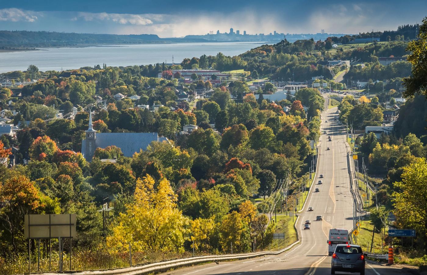

This is the strongest single-day pick, because the colour and the snow geese peak at the same time. Route 360, the Route de la Nouvelle-France, is one of the oldest thoroughfares in North America, traced under Bishop Francois de Laval, and it runs along the old parish road above the river rather than the modern highway below. Peak colour is forecast for the first week of October 2026, and the greater snow goose staging at Cap Tourmente overlaps it exactly.
Three stops with confirmed 2026 detail. Parc de la Chute-Montmorency at 5300 boulevard Sainte-Anne, Quebec, QC G1C 0M3, charges 13.90 dollars for adults through 1 November, with the cable car a further 14.95 dollars return. The Mont-Sainte-Anne gondola at 2000 boulevard du Beau-Pre, Beaupre, QC G0A 1E0, runs its Great Fall Colours Tour from 19 September to 11 October 2026, priced between 32 and 75 dollars depending on the date. And Cap Tourmente, which is run by Environment and Climate Change Canada rather than Parks Canada, costs just 6 dollars for adults and opens daily 08:30 to 17:00 until 1 November, with a daily goose interpretive programme from 26 September to 1 November.
The catches are timing ones. The Mont-Sainte-Anne gondola shuts on 11 October, the day before Thanksgiving Monday, so the holiday weekend's biggest traffic day has no lift running. Cap Tourmente closes at 17:00 and drops weekends entirely after 8 November. Avenue Royale itself is slow, residential and speed-enforced, and the basilica at Sainte-Anne-de-Beaupre draws coach crowds.
Pro Tip: Do this route backwards. Start at Cap Tourmente at 08:30 when the geese are loudest and the light is low, work back along Route 360 through the afternoon, and finish at Chute-Montmorency at dusk. Everyone else does it in the other order and queues at the falls all morning.
4Route 175 to Parc national de la Jacques-Cartier - A Glacial Valley 30 Minutes Out
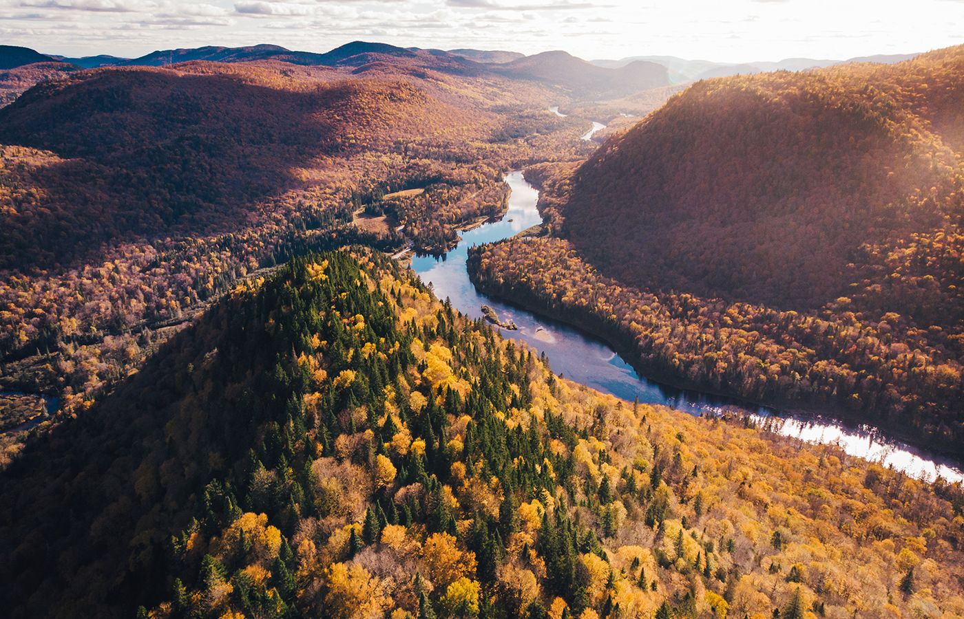
The closest of the five and the most dramatic landform. Route 175 climbs from Quebec City over the Massif du Lac Jacques-Cartier, four-lane divided along most of its length since 2013, and the turn at exit 182 drops you into the Vallee de la Jacques-Cartier, a glacial valley cut 550 m into the plateau with over 100 km of trails. Daily access is the standard Sepaq rate of 10.30 dollars per adult in 2026, under-18s free. Peak colour is the first week of October, and the higher Reserve faunique des Laurentides plateau you cross to get there turns earlier than the valley floor.
Worth clearing up a confusion that trips people up: Parc national de la Jacques-Cartier is a Sepaq national park with a day fee, serviced facilities and a trail network, while the adjacent Reserve faunique des Laurentides is a much larger wildlife reserve, free to drive through on Route 175 and with minimal visitor infrastructure. Named trails in the park include Les Cascades, Le Draveur Sud, L'Apercu and L'Eperon.
This is the pick with real hazards, and they deserve stating plainly. Before four-laning, Route 175 recorded around 45 moose collisions a year, 90 percent of them between dusk and dawn, which is exactly when photographers want to be driving. The highway also closes periodically for weather or accidents with a long detour, and there are long stretches through the reserve with no fuel or food. Expect gaps in phone coverage. The park road itself is one way in and one way out, and the car parks fill on peak-colour weekends.
Pro Tip: Leave Quebec City after sunrise rather than before it, and be back on Route 175 southbound before dusk. Buy your daily access online the night before, since the valley has a single entrance and the queue there in the first week of October is the only real bottleneck on this route.
5The Ile d'Orleans Loop on Route 368 - Orchards, Cideries and Chemin Royal
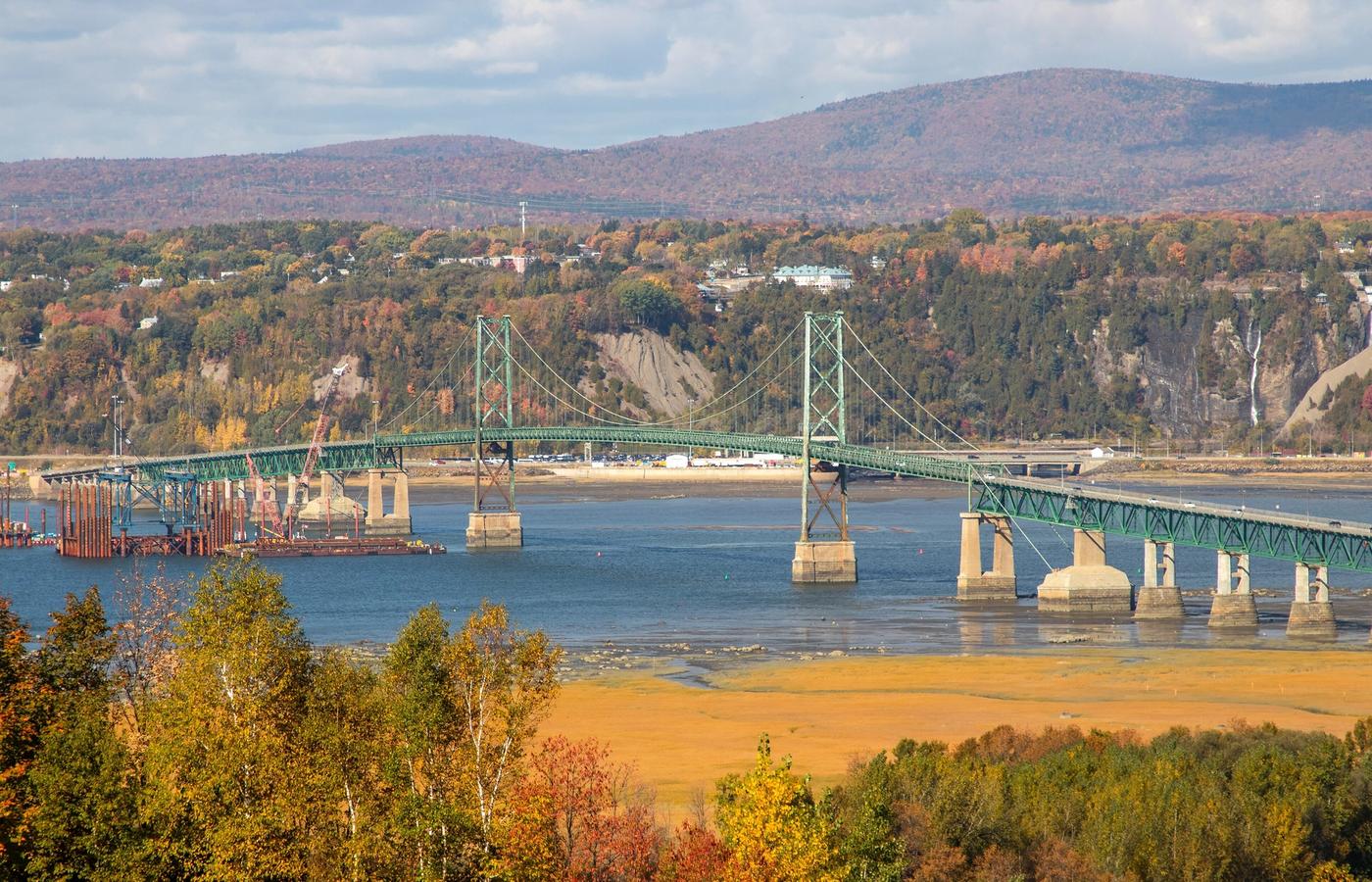
The Ile d'Orleans loop is the easiest of the five and the one with the most to stop for. Route 368, the Chemin Royal, was completed in 1744 and rings the island through six villages: Sainte-Petronille, Saint-Laurent, Saint-Jean, Saint-Francois, Sainte-Famille and Saint-Pierre. The colour here is agricultural rather than forest canopy, meaning apple orchards, maples along farm lanes, cideries and blackcurrant producers, with the St Lawrence on both sides. Peak is the first week of October 2026.
Pick up a map at the tourist office on cote du Pont as you come off the bridge, because the island's producers keep their own hours and many close for the season in mid to late October. The Maison de nos Aieux at 2485 chemin Royal, Sainte-Famille-de-l'Ile-d'Orleans, QC G0A 3P0, is the heritage stop worth booking into if you want context on the families who cleared these farms.
The structural weakness of this drive is that there is exactly one road. A collision or a slow tractor blocks everyone, the bridge is a genuine bottleneck on Thanksgiving weekend, and there is almost no shoulder for photo stops, so you have to use the village pull-offs and church car parks rather than stopping where the view is. Set expectations too: this is a pretty farmed island, not the blazing hardwood forest of Charlevoix.
Pro Tip: Drive the loop clockwise, turning right at the end of the bridge toward Sainte-Petronille, so you finish on the north shore in the late afternoon with Mont-Sainte-Anne lit up across the water. Cross back before 17:00 on any weekend day to miss the bridge queue.
Get hotel deals for Quebec City
Price drops, new stays and local tips for Quebec City, straight to your inbox.
No spam, unsubscribe anytime.

CEO and co-founder
Tomas is the co-founder and director of trip1, an European company specializing in reservation services. He launched the company in 2025 with a focus on building scalable, efficient operations.
5 Best Fall Foliage Drives Near Quebec City - FAQ
The first week of October is usually best around Quebec City, with Charlevoix peaking about a week later. Bonjour Quebec forecasts that pattern for 2026, with the higher Laurentides plateau turning earlier than the valley floors. The Charlevoix peak lands on Canadian Thanksgiving weekend, 10 to 12 October, which is the busiest driving weekend of the season.
Yes. Early October is one of the best times to visit, because the fall colours peak around the city in the first week and in Charlevoix in the second. Days are cool and crisp rather than cold. Canadian Thanksgiving weekend, 10 to 12 October, is the busiest of the month, so book your hotel early if you plan to go then.
Two days is enough for the drives closest to the city, such as the Ile d'Orleans loop and Parc national de la Jacques-Cartier, about 30 minutes out on Route 175. To add the Cote-de-Beaupre and both Charlevoix routes, Route 362 and Route 381, plan four to five days, with the city-area drives in the first week of October and Charlevoix in the second.
Yes, for most drives. The Ile d'Orleans loop has no bus around its perimeter, and the road into Parc national de la Jacques-Cartier is a dead end with no scheduled service. Commercial day tours from Quebec City do cover Ile d'Orleans, Chute Montmorency and Charlevoix if you would rather not drive.
The roads are free, but the parks and lookouts on them charge entry. Sepaq daily access is 10.30 Canadian dollars per adult with under-18s free, Parc de la Chute-Montmorency is 13.90, Cap Tourmente is 6 and the Le Massif gondola is 33. Buy Sepaq access online before you arrive, and note that the Mont-Sainte-Anne and Le Massif gondolas close for the season on 11 and 12 October.
Pack layers for both mild days and near-freezing nights. Quebec City averages about 11°C (52°F) by day and 2°C (36°F) at night in October, with around 99 mm of rain, and snow is possible on the higher Route 381 and Route 175 plateaus. A warm fleece, a waterproof jacket and sturdy shoes cover most days, with a hat and gloves for early starts at the lookouts.