

Guides · Las Vegas
5 Best Canyon Hikes Near Las Vegas

CEO and co-founder
The 5 best canyon hikes near Las Vegas all sit within a 90-minute drive of the Las Vegas Strip, and every one of them is a genuine canyon - a slot, a box canyon or a high-walled wash you walk into, not a roadside viewpoint with a canyon somewhere in the distance. Three are inside Red Rock Canyon National Conservation Area, one is the slot canyon on the White Domes Trail in Valley of Fire State Park, and the last one drops through Goldstrike Canyon to hot spring pools above the Colorado River. Each entry below gives the round-trip distance in kilometres and miles, elevation gain, a realistic round-trip time, a difficulty rating, the exact trailhead address, and a Pro Tip.
Read the heat notes before you plan anything. Summer daytime highs in the Mojave Desert regularly clear 40°C (105°F), Las Vegas recorded an all-time high of 48.9°C (120°F) in July 2024, and two of the five hikes here are physically closed by the managing agency from 15 May to 30 September each year, including 2026, because hikers have died on them. Hiking near Las Vegas is an October-to-April activity, and treating it otherwise is how people end up being carried out.
We have ordered the list outward from the Red Rock Canyon Scenic Drive so you can string Ice Box Canyon, Calico Tanks and Pine Creek Canyon together on one timed-entry reservation, then treat Valley of Fire State Park and Goldstrike Canyon as separate day trips. You will need a car for all five - there is no public transit to any of these trailheads.
1Ice Box Canyon - The Shadiest Box Canyon on the Red Rock Scenic Drive
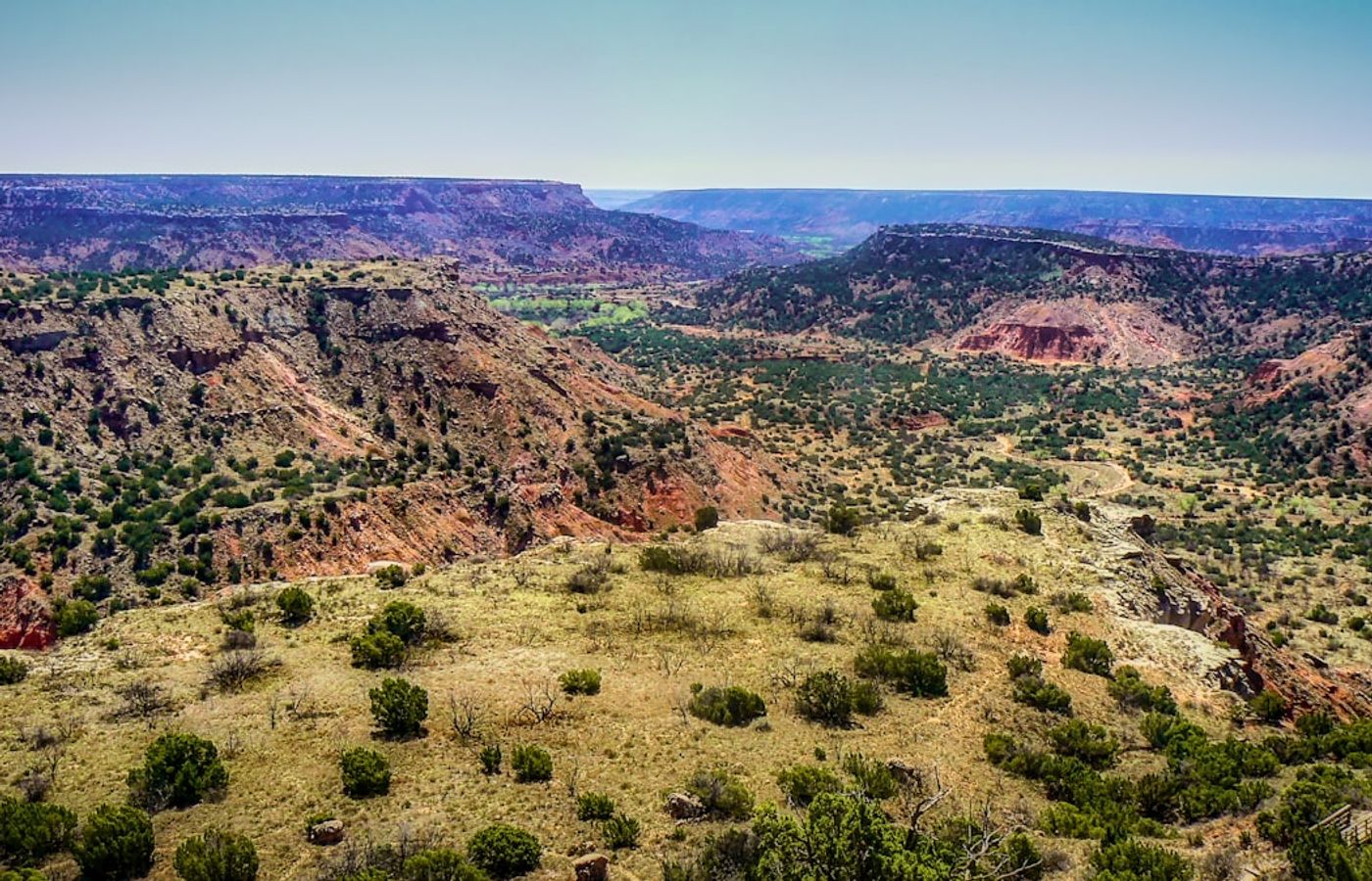

Ice Box Canyon is the one canyon hike near Las Vegas that earns its name. The trail runs 3.7 km (2.3 miles) round trip from the Scenic Loop Drive into a north-facing box canyon whose 300-metre sandstone walls block direct sun for most of the day, and the air inside sits noticeably cooler than the open desert you crossed to get there. Elevation gain is 175 m (577 ft), the round trip takes 2 to 3 hours, and the Bureau of Land Management rates it strenuous - not for the distance, but because the last 800 metres is boulder-hopping up a jumbled wash with no maintained path.
Two seasonal waterfalls run at the head of the canyon from roughly December through April, fed by snowmelt off the Spring Mountains. By June they are dry stains on the rock. The final scramble to the upper pool is a genuine hands-and-feet class-4 move over polished sandstone that is worse coming down than going up, and it is where most Red Rock Canyon rescues on this trail start. Turn around at the lower falls and you still get the whole canyon.
Pro Tip: The trailhead is a small pull-out at mile 7.7 with room for about 20 cars and it fills by 9am from October to April. Book the 8am timed-entry slot, drive straight past the Calico overlooks, and do Ice Box Canyon first while the shade is deepest and the parking still exists.
2Calico Tanks - A Sandstone Canyon Route to a Hidden Water Pocket
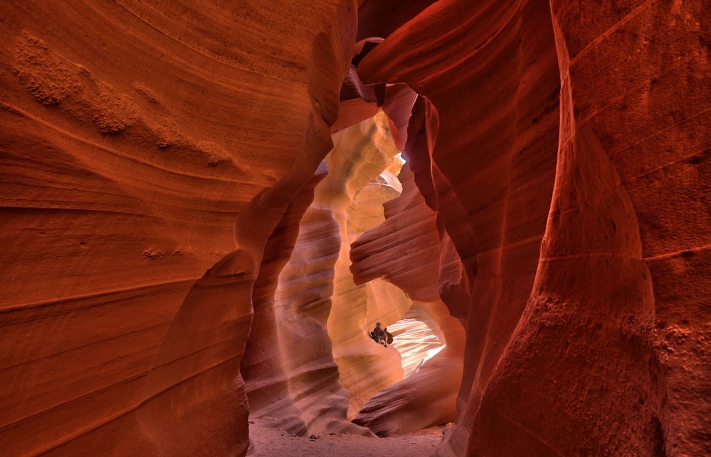

Calico Tanks is the most-hiked trail in Red Rock Canyon National Conservation Area and the best introduction to the red Aztec Sandstone the area is built from. From the Sandstone Quarry trailhead at mile 2.7 of the Scenic Loop Drive, the route climbs 4 km (2.5 miles) round trip through a narrowing sandstone canyon, gaining 120 m (400 ft) over 1.5 to 2 hours at a moderate difficulty. There is no single obvious path - you follow cairns and worn rock across slabs and up a stepped gully, which is the part first-time visitors underestimate.
The tank at the top is a natural rock basin that holds rainwater for weeks after a storm and was used by the Southern Paiute long before the 1905 sandstone quarry gave the trailhead its name. Walk 50 metres past the tank to the canyon lip and the Las Vegas Strip appears 30 km east, framed by red rock. Shade is minimal on the climb and the sandstone radiates heat, so this is a cool-morning hike from October through April.
Pro Tip: The Sandstone Quarry car park is the second stop on the loop and it is full by 8:30am on winter weekends. If you arrive later, drive on and come back at 2pm when the morning crowd has cycled out - the low afternoon light on the Calico Hills is better for photography anyway.

3Pine Creek Canyon - The Easiest Way into Big Canyon Walls
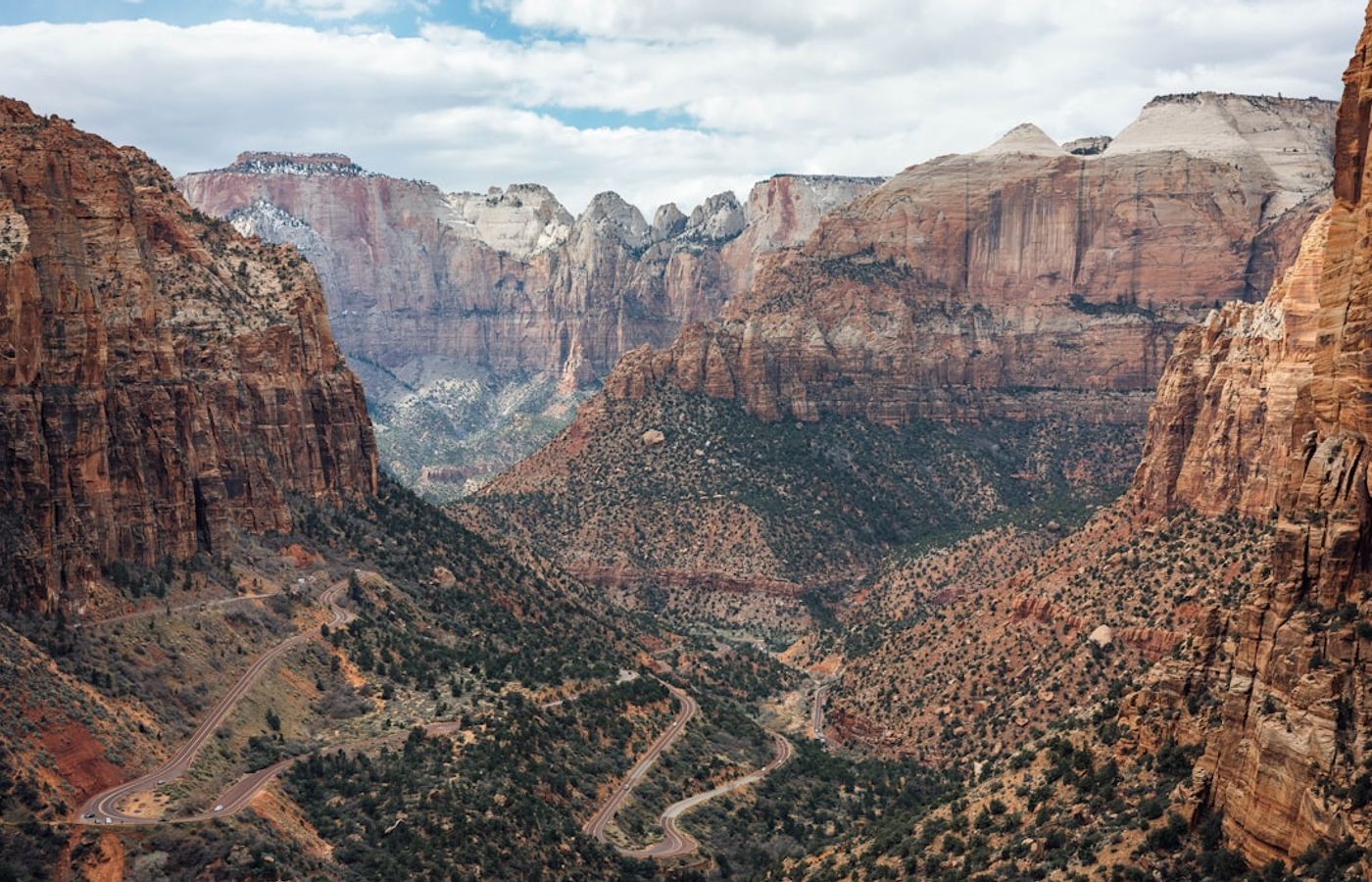

Pine Creek Canyon gives you the biggest canyon walls in Red Rock Canyon for the least effort. The maintained partial loop is 4 km (2.5 miles) round trip with only 60 m (200 ft) of elevation change, takes 1.5 to 2 hours, and is rated easy - flat, sandy, and walkable in trainers. It runs straight at Mescalito, the pyramid-shaped sandstone buttress that splits the canyon into two forks, and the ponderosa pines along the creek are the reason this spot feels cooler and greener than anywhere else on the Scenic Loop Drive.
Halfway in you pass the concrete foundations of the Wilson homestead, built by Horace Wilson in the 1920s, plus a short Fire Ecology Trail loop across a burn area that has now fully regrown. Push up the streambed past the homestead and the grade turns moderate to strenuous over boulders and slick rock, with seasonal pools and small cascades running roughly December to April. That upper section is optional, which is what makes Pine Creek Canyon the right pick for mixed-fitness groups or a first desert hike.
Pro Tip: Pine Creek is the last major trailhead on the one-way loop, so save it for last rather than driving the 13-mile circuit twice. The car park sits on a low rise with a full canyon panorama - a good place to eat lunch when the trail itself is busy.
4White Domes Trail - The Best True Slot Canyon Within Day-Trip Range
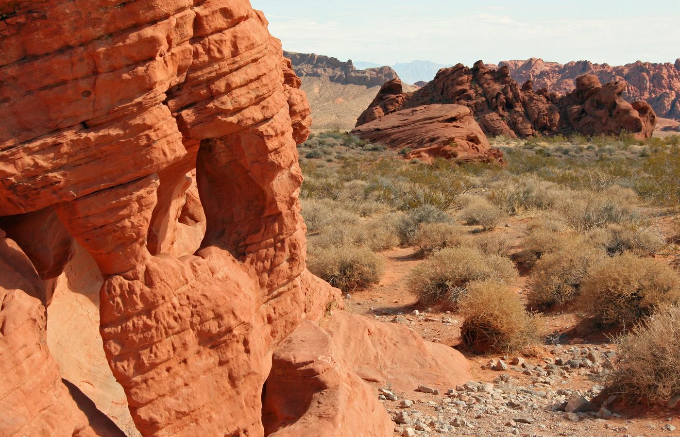
The White Domes Trail packs the most varied 1.8 km (1.1 miles) in southern Nevada, and its slot canyon is the only easily walkable one within day-trip range of Las Vegas. The loop climbs and drops just 45 m (150 ft), takes 30 to 45 minutes, and is rated easy to moderate - the one real obstacle is a sandy staircase descent at the start. Roughly 60 metres of the route squeezes through a slot where the striped walls close to about a metre apart, cool and dim even at midday. You also pass the surviving stone walls of the 1965 film set for The Professionals.
Two hard rules. First, Nevada State Parks closes the White Domes Loop, along with the Fire Wave, Seven Wonders Loop, Pinnacles Loop, Prospect and Arrowhead trails, from 15 May to 30 September because of repeated medical calls, search-and-rescue missions and fatalities in summer heat. Second, never enter the slot when rain is falling or forecast anywhere upstream - a narrow sandstone canyon is a flash flood channel. Park entry in 2026 is USD 15 per vehicle for non-residents and USD 10 for Nevada residents.
Pro Tip: Drive the 9 km of White Domes Road to the end trailhead first, walk the loop, then work back south to the Fire Wave and Rainbow Vista pull-outs. The road dead-ends, so doing it in reverse means driving it twice and losing the best early light in the slot.
5Goldstrike Canyon - The Hardest Canyon Hike Near Las Vegas
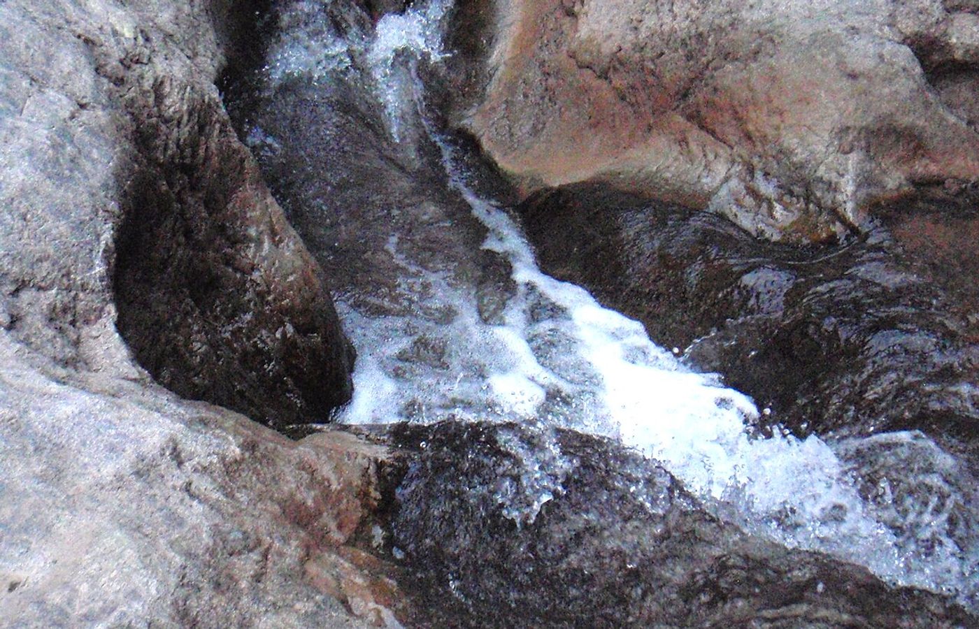
Goldstrike Canyon is the most spectacular and the most dangerous canyon hike near Las Vegas, and it belongs on this list with the warnings attached. The route drops 8 km (5 miles) round trip through a Black Canyon side gorge to hot spring pools above the Colorado River, losing and then regaining roughly 300 m (1,000 ft) at a very strenuous, expert-only grade. Budget 5 to 7 hours. There are eight fixed-rope descents on the way down, and hauling yourself back up them at the end of the day, in a canyon that traps heat, is the real hike.
The National Park Service has closed Goldstrike Canyon and the neighbouring Arizona Hot Spring trail from 15 May to 30 September every year since 2016. Two hikers died here on a single day in June 2003. Spring water emerges at 43°C (109°F) and the pools run 37 to 43°C, which raises rather than lowers your core temperature, so soaking is a cold-weather activity only. Park guidance is to keep your head above the water. The canyon also floods fast in storms.
Pro Tip: Go in December or January, start at first light, and carry 4 litres of water per person plus gloves for the ropes. If anyone in your group is unsure about descending a knotted rope on loose gravel, do the Historic Railroad Tunnel Trail near Boulder City instead - it is flat, open all year, and nobody has to be rescued from it.

CEO and co-founder
Tomas is the co-founder and director of trip1, an European company specializing in reservation services. He launched the company in 2025 with a focus on building scalable, efficient operations.

Climate averages · 1991–2020
When is the best time to visit Las Vegas?
The best time to visit Las Vegas is between April and June, the most comfortable stretch of the year on these averages.
Best time · April–JuneRainfall
- Jan9°
- Feb12°
- Mar12°
- Apr20°
- May25°
- Jun31°
- Jul34°
- Aug32°
- Sep28°
- Oct21°
- Nov14°
- Dec10°
More of United States
5 Best Canyon Hikes Near Las Vegas - FAQ
Yes, comfortably in three days. Ice Box Canyon, Calico Tanks and Pine Creek Canyon are all on the same 13-mile Red Rock Canyon Scenic Drive and fit into one long day on a single timed-entry reservation. Valley of Fire State Park needs its own day because of the 85 km drive, and Goldstrike Canyon needs a full day of its own at full strength.
Work outward from Red Rock Canyon. Day one, book an 8am Scenic Drive slot and do Ice Box Canyon first for the shade, then Calico Tanks, then Pine Creek Canyon on the way out. Day two, drive to Valley of Fire State Park for the White Domes slot canyon. Day three, if you are fit and it is winter, take on Goldstrike Canyon.
Only Red Rock Canyon requires a booking. From 1 October to 31 May, a timed-entry reservation is mandatory for vehicle entry to the Scenic Drive between 8am and 5pm, booked on Recreation.gov for a USD 2 processing fee up to 30 days ahead. Valley of Fire State Park and Goldstrike Canyon need no reservation, and none of the five trails requires a hiking permit.
Around USD 37 in fees per vehicle, plus your car. Red Rock Canyon is USD 20 per vehicle for a day pass plus the USD 2 timed-entry processing fee, and Valley of Fire State Park is USD 15 per vehicle for non-Nevada residents or USD 10 for residents. Goldstrike Canyon is free. A USD 50 Red Rock annual pass pays for itself on a third visit.
October through April, with November to March the sweet spot. Summer highs in the Mojave Desert regularly pass 40°C (105°F) and Las Vegas hit 48.9°C (120°F) in July 2024. The White Domes Trail in Valley of Fire and Goldstrike Canyon are both physically closed from 15 May to 30 September 2026, and the Red Rock trails become genuinely hazardous in that window.
Yes. There is no public transport to any of these five trailheads. RTC Transit Route 206 runs west along Charleston Boulevard only as far as Hualapai Way, still 13 km short of the Red Rock Canyon entrance, and rideshare drop-offs are a bad idea because there is no reliable mobile signal on the Scenic Drive to summon a ride home.
Several good hikes narrowly missed the cut. First Creek Canyon is an easier 6.4 km Red Rock alternative with a seasonal waterfall, Kraft Mountain Loop in Calico Basin is a 5.6 km scramble that avoids the timed-entry system entirely, and Mary Jane Falls on Mount Charleston climbs to 2,500 m where summer temperatures are 12°C cooler than the Strip.

Related travel guides

5 Best Things to Do in Las Vegas During the F1 Grand Prix
Five things to do in Las Vegas during the F1 Grand Prix, 19-21 November 2026: off-Strip picks with exact addresses, prices, hours and road closures.

10 Best Things to Do in Las Vegas
Discover the 10 best things to do in Las Vegas in 2026, from the Strip and Bellagio fountains to Fremont Street, the Sphere and Red Rock Canyon.